
Hiking in Auvergne
We picked these hikes for the views and for how easy they are to reach. Each one has its distance, elevation gain, a map and the GPX track.
10 hikes
Hard
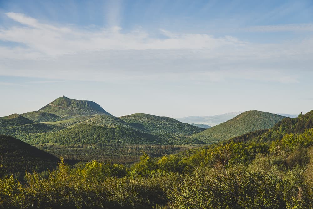
Puy de Jumes, Puy de la Coquille and Puy des Gouttes
Come and see the Puy des Gouttes and the Puy Chopine, two volcanoes nested one inside the other: a volcanic structure out of the ordinary!
- Distance: 15 km
- Elevation gain: 487 m
- Duration: 4 h
Hard
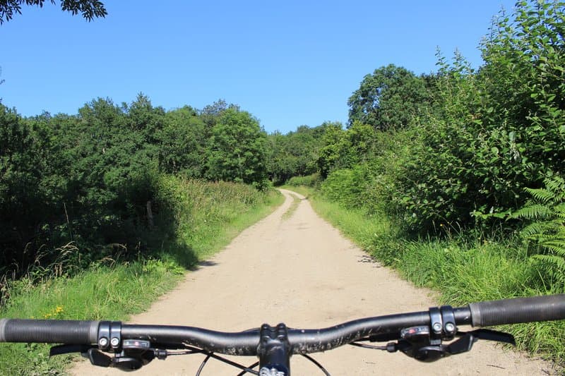
Lac d'Aubusson (loop no. 5)
The big plus of this waymarked loop is how little road it uses. Leaving the nature centre, you cross "la plaine" (the plain) before reaching Puymillier on a fairly steep but shady track. This small village is famous for being home to "le mûrier du Chevalier", a remarkable mulberry tree whose girth reaches no less than 4.18 m at a height of 1.30 m... It is estimated to be 400 years old! After the village, you take a narrow path with a few "steps" in the rock that call for a minimum of technique if you don't want to get into difficulty. You then reach the village of Aubusson d'Auvergne before heading down to the lake. The loop goes all the way round it on shady, compacted paths before leaving it in front of its beach, which now holds the "Pavillon bleu" (Blue Flag) label.
- Distance: 12 km
- Elevation gain: 237 m
- Duration: 1 h 30 min
Moderate
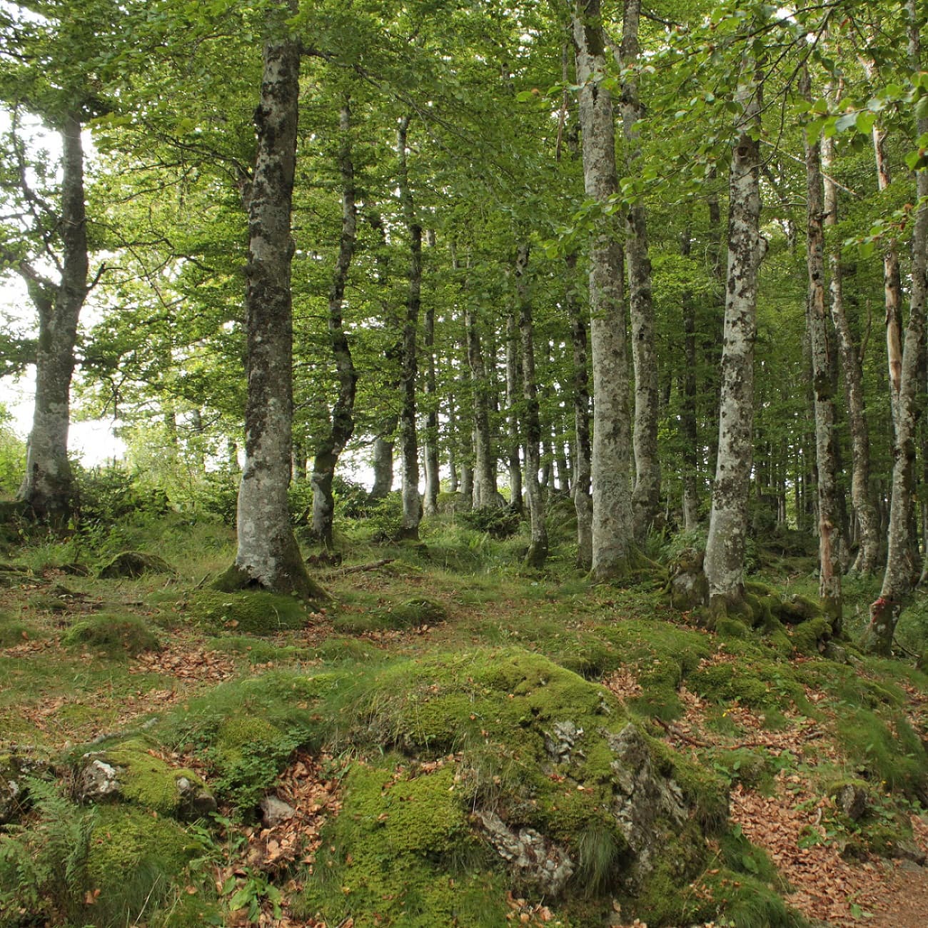
From Chastreix village to the glacial valley
Discover the varied landscapes of the Artense on this hike! Forests, wetlands, pastures and mid-altitude mountains: let yourself be carried through this wide range of scenery for a day.
- Distance: 18 km
- Elevation gain: 535 m
- Duration: 5 h 30 min
Moderate
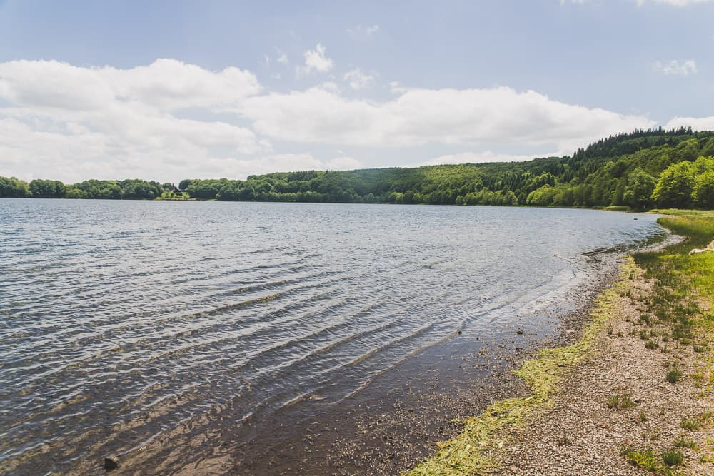
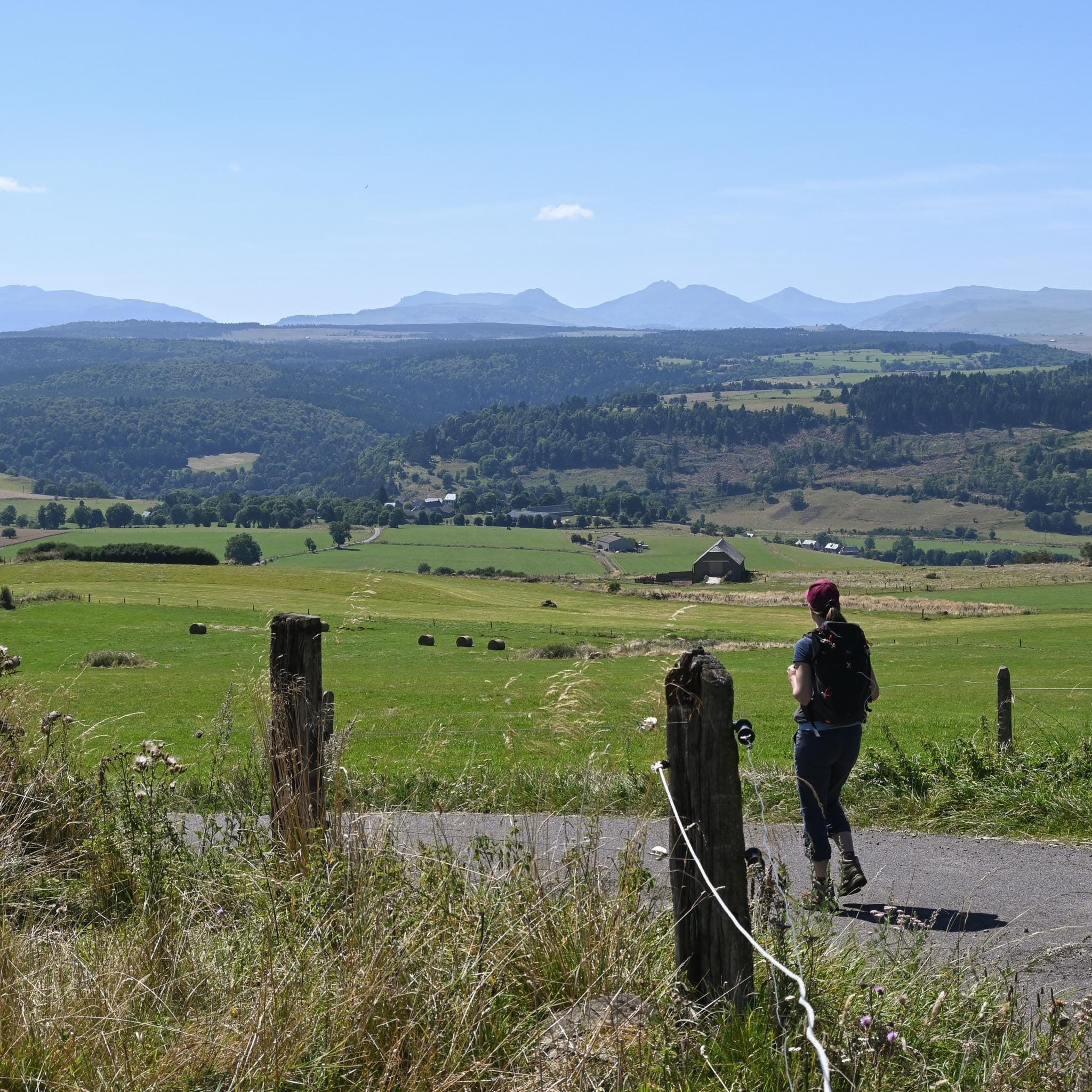
Lac Chauvet
A lovely hike on the border between the Cézallier and the Monts Dore. Lac Chauvet and the Cascade de la Barthe are the high points.
- Distance: 16 km
- Elevation gain: 352 m
- Duration: 4 h 30 min
Moderate
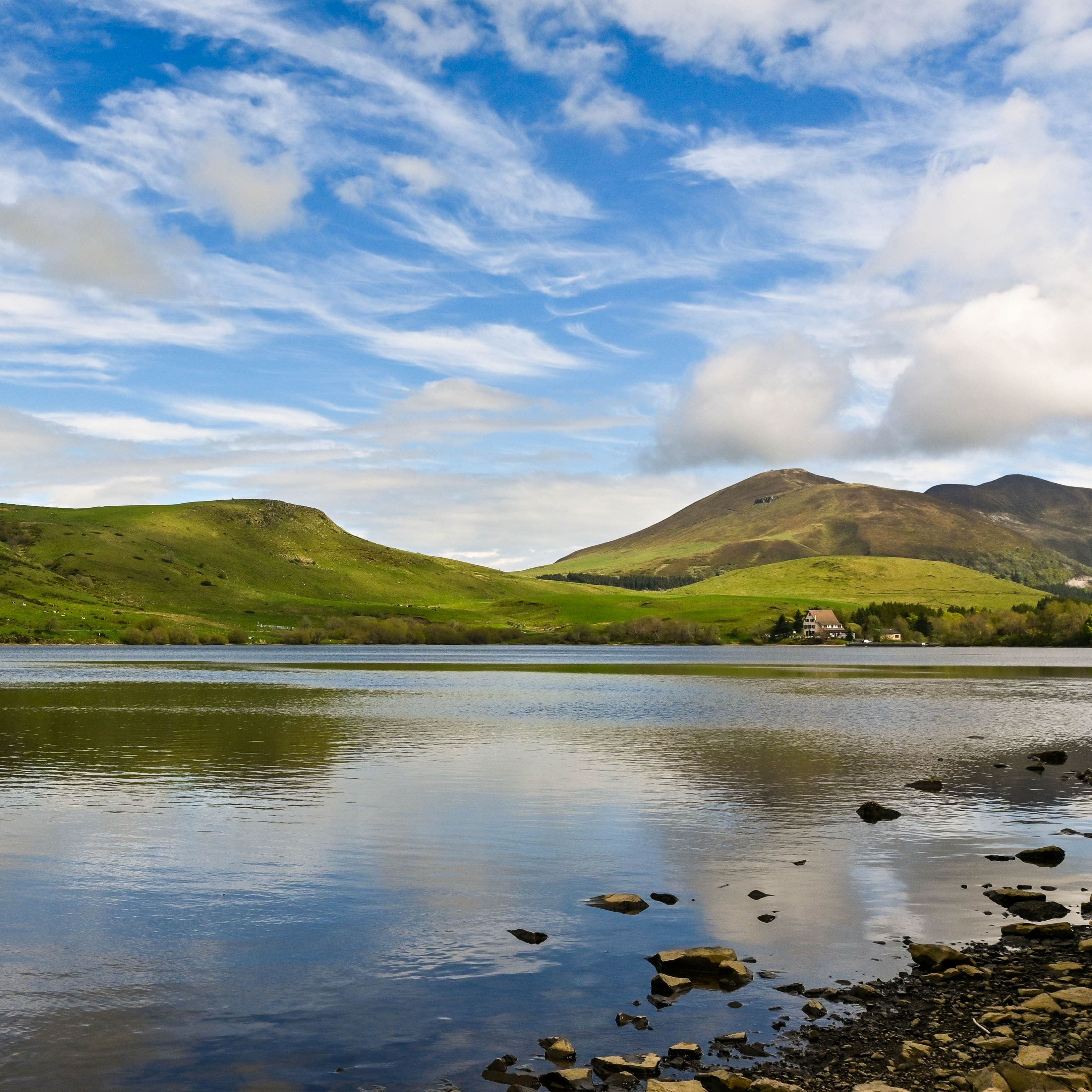
Puy de Mathonière
On this themed trail, discover the traditions built on livestock farming and transhumance (moving the herds up to the summer pastures) that shape the pastoral identity of the Cézallier, with roots going back to the Neolithic!
- Distance: 11 km
- Elevation gain: 404 m
- Duration: 4 h
Moderate
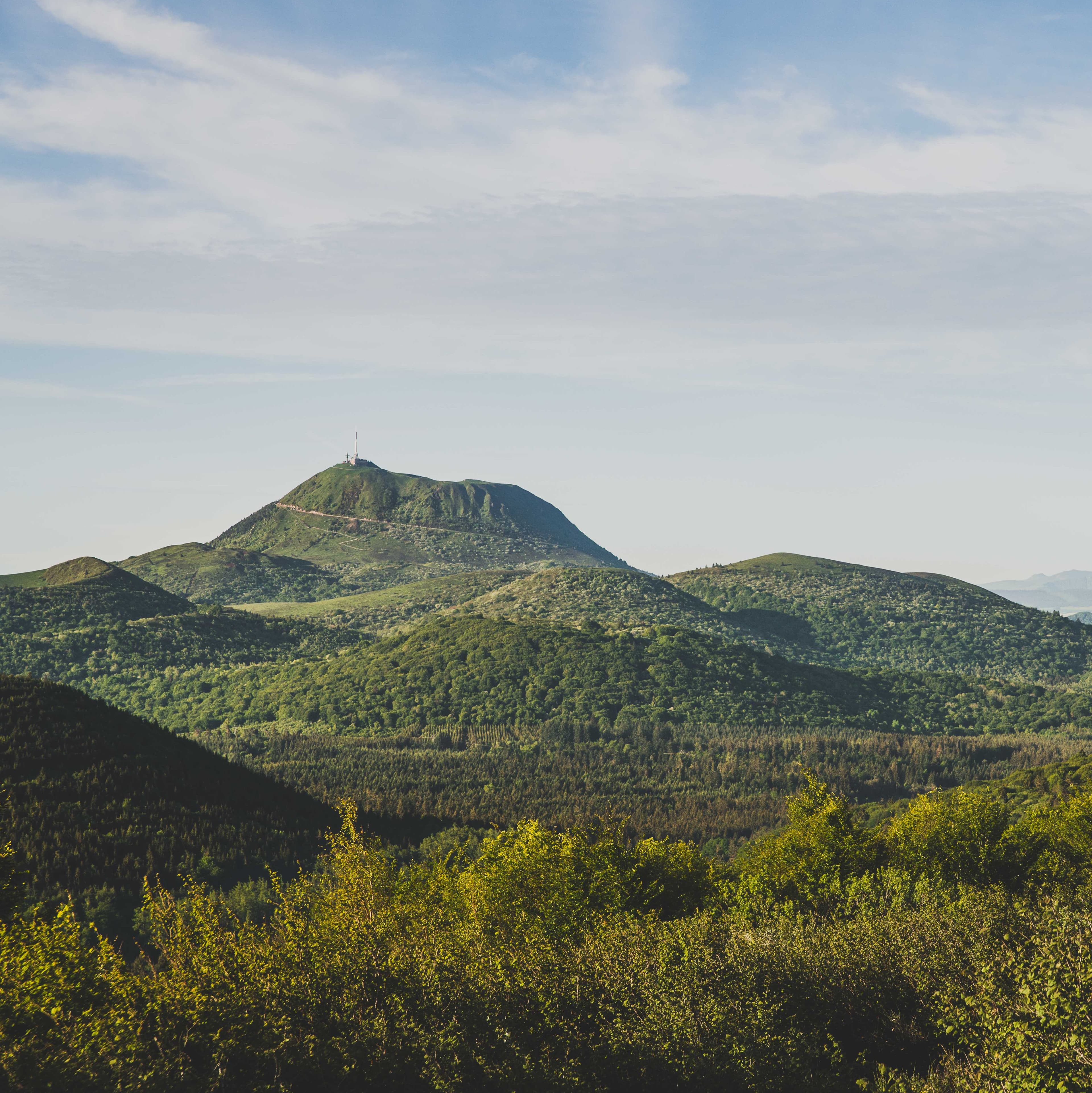
Plateau du Guéry via the Puy Loup
A 13 km loop above Lac de Guéry, the highest lake in Auvergne: a waterfall and basalt organ pipes, beech woods, summer pastures as far as the eye can see and the ridge of the Puy Gros facing the Massif du Sancy. A fine day out in the mid-altitude mountains.
- Distance: 13 km
- Elevation gain: 530 m
- Duration: 4 h 30 min
Easy
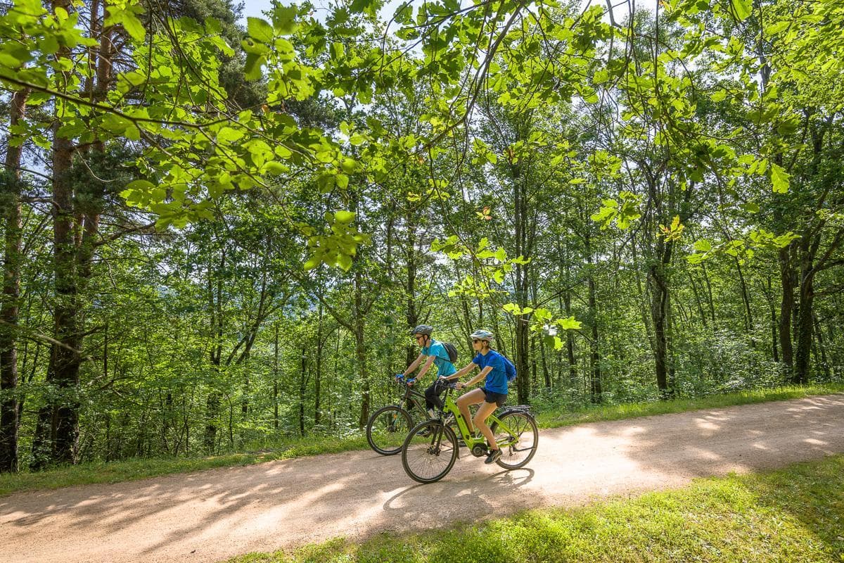
Puy de Dôme loop
A hike around the largest of the domes in the Chaîne des Puys. Glimpses and open views onto all of its flanks.
- Distance: 9.5 km
- Elevation gain: 265 m
- Duration: 3 h
Very easy
156 - Lac du Bouchet volcanic lake (waymark no. 5)
Aimed at families, this easy route takes you to a beautiful crater lake of volcanic origin.
- Distance: 7.4 km
- Elevation gain: 152 m
- Duration: 45 min
Moderate
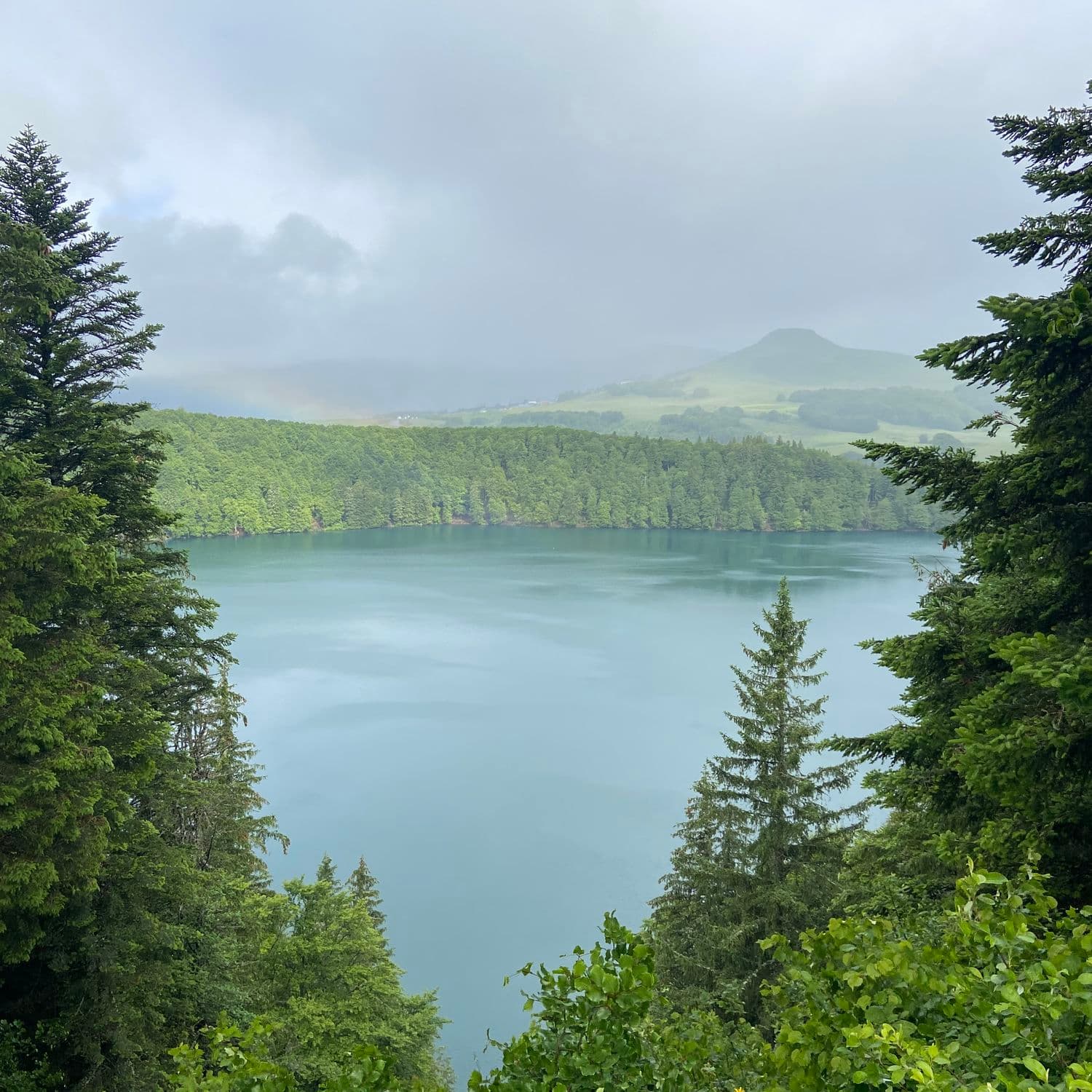
Lac Pavin
Set off to explore Lac Pavin, the deepest and most fascinating lake in Auvergne.
- Distance: 9.7 km
- Elevation gain: 293 m
- Duration: 3 h 45 min
Moderate
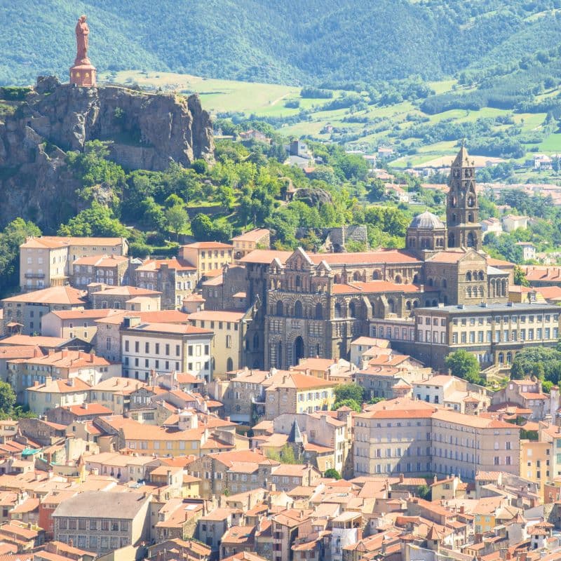
GR65 Way of St James, Le Puy to Figeac
Velay, Margeride, Aubrac... This string of modest mountain massifs is in fact a mosaic of small natural regions rising to the surface, strung out from the Haute-Loire to the far reaches of the Rouergue and the Aveyron, where the Aubrac plateau runs abruptly aground on the green carpet of the Pays d'Olt.
- Distance: 67 km
- Elevation gain: 2,113 m
- Duration: 240 h