
Signal du Luguet
Start: Parrot, foyer de ski de fond
The Artout glacial cirque and the Signal du Luguet, two very beautiful places in the Cézallier!
- Distance
- 13.5 km
- Elevation gain
- +483 m
- Elevation loss
- -478 m
- Duration
- 4 h 30 min
Route on the map
Base map © OpenTopoMap (CC-BY-SA): route licensed under ETALAB-2.0 via PNR des Volcans d'Auvergne.
The feel of the route
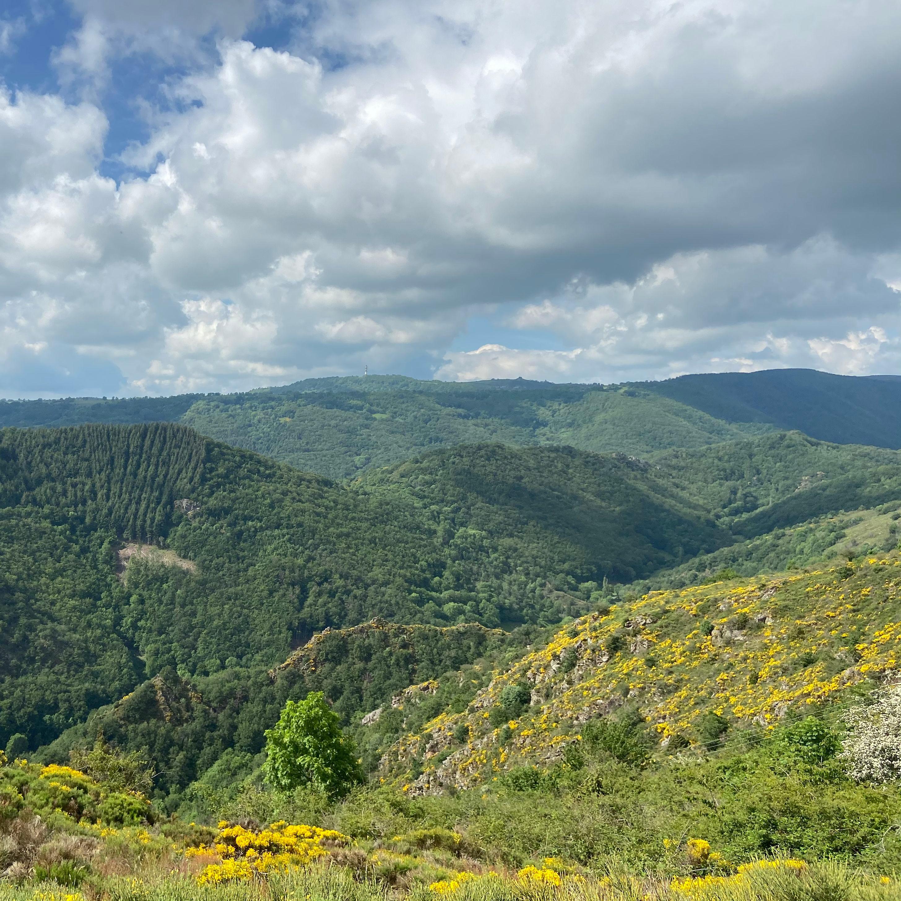
This route will show you the high plateaus of the Cézallier massif, marked by its great wild open spaces, pastures, small valleys, streams and peat bog areas. During this walk, enjoy the horizon over the volcanoes of the Chaîne des Puys and the Sancy and Cantal massifs.
The route in detail
Cross over and climb the path on the right, leaving the GR (long-distance footpath) and the direction of the Luguet. At the first buildings you come to, fork right onto a footpath. Go past all the houses and climb straight on.
At a fork, go right. Before a small permanent shelter near the wood, head right for about 500 metres.
Leave the path to cross a stile on the right. Across the pastures, keep the fence that overlooks the cirque on your right-hand side. Cross another stile and immediately follow the fence on the left. After a third stile, go straight on to the edge of the wood. Follow it to the left for about 750 m. Do not enter the wood, turn left
At a junction, fork right alongside a fence to join a wide path suitable for vehicles. Pass between the woods of Cézalier and of the Croix des Champs, below the Signal du Luguet. Go down and take the road on the left for 100 m.
Turn right onto a summer pasture footpath and follow the fence to the end.
Other hikes in the area
 On foot
From Brion to Anzat (stage 2 of the Tour des Vaches Rouges)
Start: Brion “Le Foirail” à Compains
- 16.5 km
- +382 m
- 5 h 15 min
 On foot
 On foot
From Anzat to Laurie (stage 3 of the Tour des Vaches Rouges)
Start: Parking de l’église à Anzat-le-Luguet
- 19.9 km
- +684 m
- 6 h