
La Planèze (mountain bike)
Start: Trizac, place de la Bascule au dessus de la station service du Garage
A very fast-rolling mountain bike route, taking you into the heart of the summer pastures and opening up wide views over the Monts du Cantal, the glacial valley of the Falgoux and the Sancy massif.
- Distance
- 21.8 km
- Elevation gain
- +544 m
- Elevation loss
- -543 m
- Duration
- 3 h 30 min
Route on the map
Base map © OpenTopoMap (CC-BY-SA): route licensed under ETALAB-2.0 via PNR des Volcans d'Auvergne.
The feel of the route
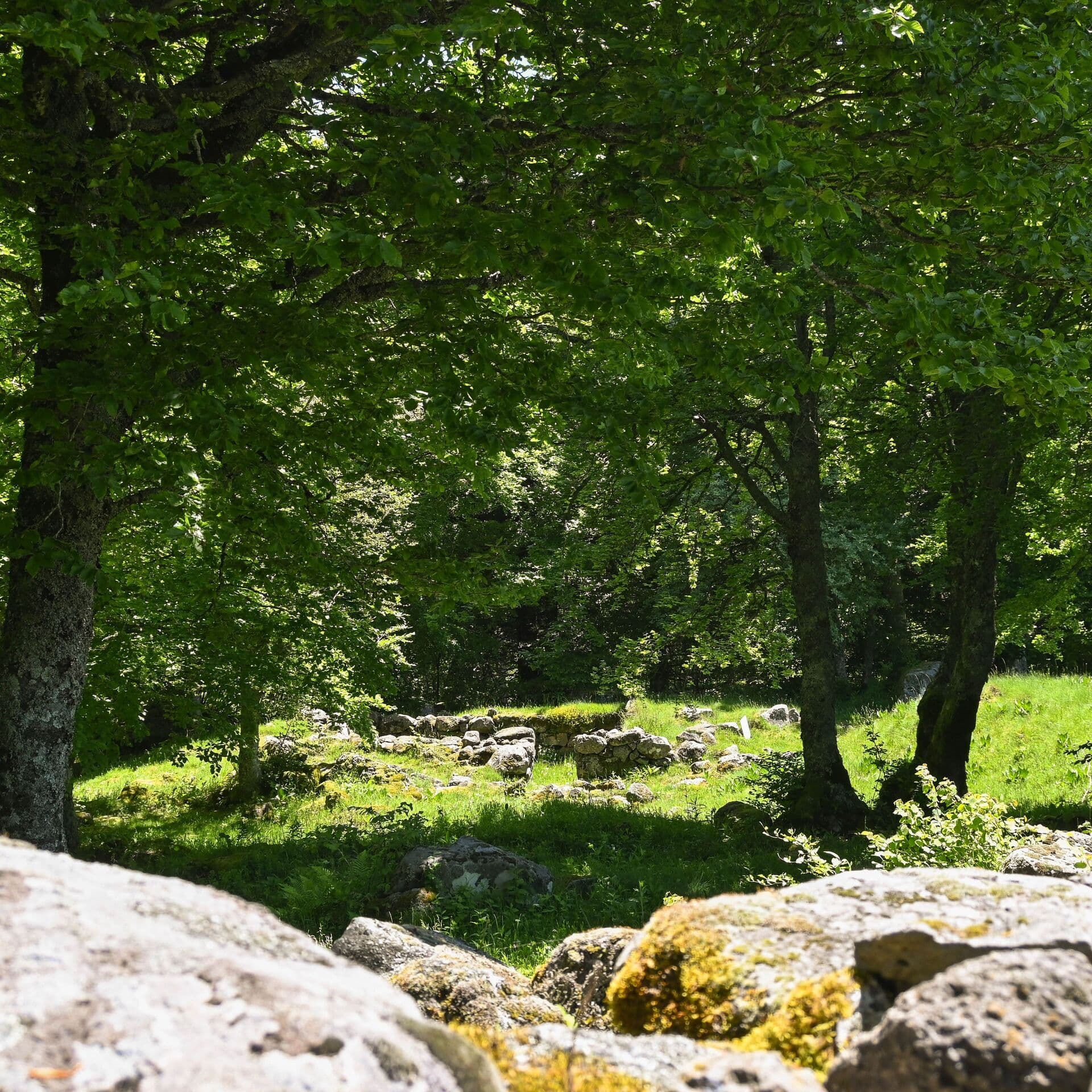
Make the most of this mountain bike route to discover a large planèze of the Cantal massif: the Trizac planèze, which stretches from the valley of the Petite Rhue (north-east) to the valley of the Mars (south-east). The planèze was formed by multiple eruptions and is now cut through by valleys carved by rivers (the Marilhou river) and by steep valleys whose sides shelter forests (Bois du Marilhou). You will discover the archaeological site of the cases de Cotteugues.
The route in detail
The start is in Trizac, place de la Bascule, above the Garage's petrol station. Go down the little square and take the D 678 on the left. Go past the petrol station, follow the cemetery on your right and carry straight on towards Mauriac as far as the junction between the D678 and the D30.
Turn left towards Le Falgoux, Puy Mary, Col d’Aulac. After 100 metres, turn right onto a stony track that goes down to the Marilhou stream. Cross the bridge and continue to the right on this wide track, which climbs fairly steeply.
When you reach the road, leave Le Fayet on your right and climb up to Font Rouge. Go past the houses and at the next crossroads take the road on the right towards Chamblat, Maisonneuve and La Condamine. When you reach Chamblat, ignore the direction of Maisonneuve and carry straight on.
At the junction, turn left towards Lestrade, Laborie, Suc de Grosmont. Leave La Condamine on your right and carry on to the crossing with the summer pasture track, just before Lestrade.
Turn left onto the track, which climbs fairly steeply at first for 300 metres, then rises into the summer pastures. At the top of the second hairpin (1,260 m) there is a view on the left of the Sancy and the lac de Veirières, and on the right of the glacial valley of the Falgoux and the Monts du Cantal. Go back down to the next crossing, before the auberge du Col d’Aulac.
At the intersection, bear left onto the D30. Go down to the bridge that crosses the Marilhou.
100 metres after this bridge, leave the departmental road and turn right onto the route des montagnes (mountain road) towards Trizac, Valette and Collandres (fairly steep climb for 400 metres). Carry straight on to the crossroads of the four tracks.
At this crossroads, ignore the direction of Collandres and Valette and turn left for Trizac. Carry straight on, ignoring a path that goes down on the left.
At the stop sign, continue straight ahead to a crossing, turn right and go down to the starting point below.
In pictures


Other hikes in the area
 On foot
Cases de Cotteughes
Start: Parking aménagé des Cases de Cotteughes, Saint-Vincent-de-Salers, 15380
- 6.5 km
- +211 m
- 2 h 15 min
 On foot
 On foot