
CyclingModerateBoucle
Bas-Livradois (road circuit no. 4)
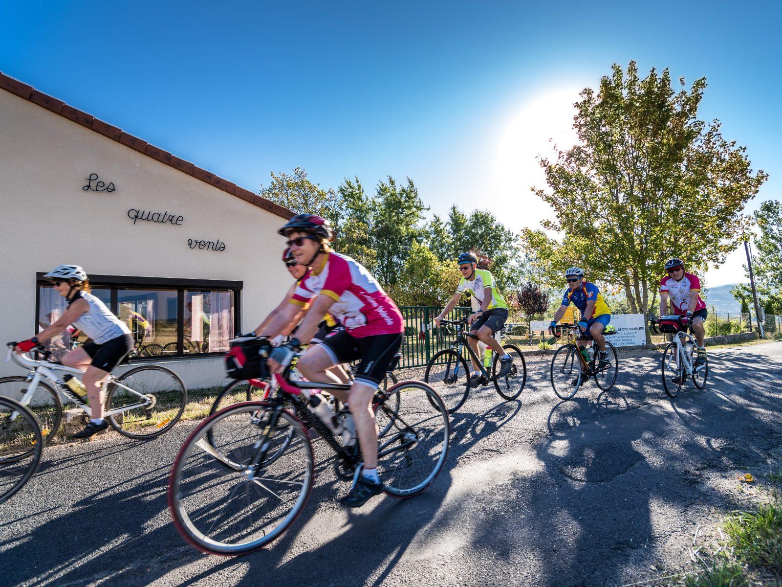
Start: Centre nature les 4 Vents
After admiring the Romanesque priory church of Glaine-Montaigut, you can unwind in Billom, a fine medieval town, before setting off again to climb the first foothills of the Livradois and reach the château de Montmorin and then the imposing fortress of Mauzun.
- Distance
- 62 km
- Elevation gain
- +984 m
- Elevation loss
- -984 m
- Duration
- 4 h
Route on the map
Base map © OpenTopoMap (CC-BY-SA): route licensed under ODbL via Données : Parc Naturel Régional Livradois-Forez · rando.parc-livradois-forez.org — sous licence ODbL.
Other hikes in the area
 Cycling
Moderate
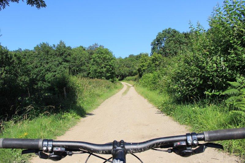 Mountain biking
Expert
 On foot
Very easy