
Lezoux, land of history
Start: Aire d'accueil touristique, Lezoux
- Distance
- 8.7 km
- Elevation gain
- +60 m
- Elevation loss
- -61 m
- Duration
- 2 h 30 min
Route on the map
Base map © OpenTopoMap (CC-BY-SA): route licensed under ODbL via Données : Parc Naturel Régional Livradois-Forez · rando.parc-livradois-forez.org — sous licence ODbL.
The feel of the route
The departmental ceramics museum (musée départemental de la Céramique)
Housed in a former 19th-century pottery factory, the museum presents collections from the archaeological site of Lezoux. Lezoux was one of the largest ceramics production centres of the Roman Empire. Over tens of hectares, potters shaped several hundred million vessels. Of these products, the most important and the most notable is sigillata ceramics. It is archaeologists who coined this name. Struck by the many decorations borrowed from Roman iconography and by the potters' marks stamped with a matrix punch, they took the Latin word sigillum, meaning seal, as their inspiration. It is tableware of a bright red colour. Both wheel-thrown and/or moulded, it offers a fairly wide repertoire of shapes (plates, beakers, cups…) and decorations that the potters knew how to evolve according to the needs, tastes and fashions of the day. Mass-produced, it demanded great technical mastery from the potters in order to guarantee standardised products as regards quality, shape, decoration and firing techniques. Sold in huge quantities, this tableware bears witness above all to the spread of Roman culture across the whole of Europe.
The route in detail
Start: From the car park of the ceramics museum, take the road to the left and pass in front of the museum. Continue to the next roundabout and turn right onto rue de la Baronne. Take rue Raymond Joyon on the right for 50 m before following the wall on the left along rue du Pont Bourlier. Then turn into the little park on the left, go round the médiathèque (media library) and climb rue du Docteur Grimaud to place de Prague. Cross it to turn right onto rue saint Georges and go through the archway.
1. When you arrive opposite the Maison du Peuple, take rue du Maréchal Leclerc to the town hall. Then turn left onto rue des Augustins and turn off to the right immediately onto rue de Sarsina. Continue straight on and take the second street on the left. Go down rue des Aises on the left to take allée des Chalards on the right. Cross place des Chalards to reach rue Gaubert opposite. Keep the sewage treatment plant on your left. The road turns into a track; follow it to the right as far as the D20.
2. Take it to the right for 100 m before taking the first track on the left. Continue on the main track to allée de Ligonne. At the junction of several roads, take chemin de l'étang de l'Isle. Just before the pond, turn onto the path on the left and walk round the pond. Then cross the road to take allée de la Valeyre. Take allée de Ligonne on the left for 50 m before turning right onto rue Gabriel Marc.
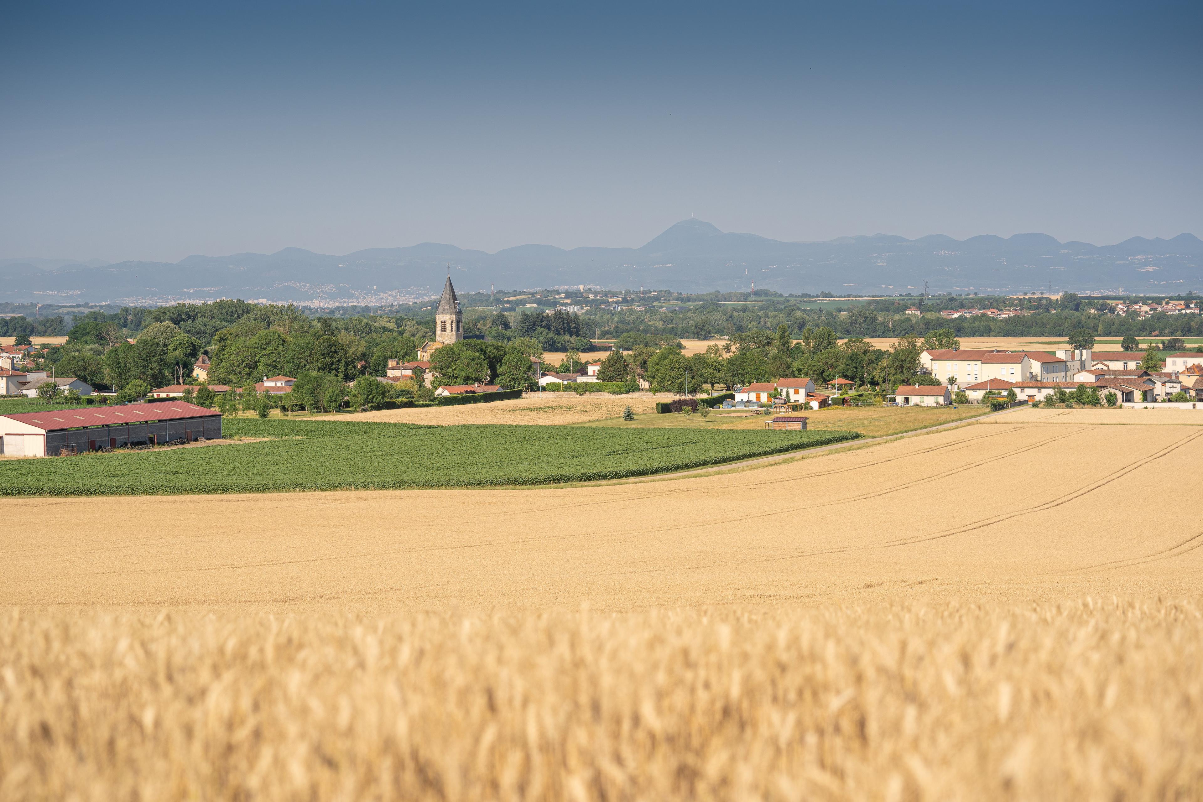
3. Cross place Georges Raynaud (viewpoint on the right over the Limagne plain, the Chaîne des Puys and the Massif du Sancy) and take rue Saint Taurin before turning left onto rue du docteur Plicque. Turn off immediately to the right into impasse Pasteur before taking rue Pasteur to the left. Go round the retirement home and take rue de la République on the right as far as place Jean Rimbert.
4. Turn onto the street on the left and continue (straight ahead) to the Maison du Peuple. After the bookshop, go through the archway and take rue du Fort. Turn onto the second street on the left. Follow rue de Malintrat before turning right onto rue des Bourgauds. Continue straight on to return to the ceramics museum car park.
In pictures


Other hikes in the area
 Cycling
Discovering Randan and Maringues (road circuit no. 28)
Start: Centre nature les 4 Vents
- 117 km
- +1022 m
- 7 h
 On foot
 On foot