
Grande Traversée du Livradois-Forez by mountain bike
Start: Aubusson d'Auvergne
In the heart of Auvergne, the Grande Traversée du Livradois-Forez takes you around the Livradois-Forez Regional Natural Park, between two massifs that rise from 400 m to 1,600 m in altitude.
- Distance
- 229 km
- Elevation gain
- +5441 m
- Elevation loss
- -5441 m
- Duration
- 144 h
Route on the map
Base map © OpenTopoMap (CC-BY-SA): route licensed under ODbL via Données : Parc Naturel Régional Livradois-Forez · rando.parc-livradois-forez.org — sous licence ODbL.
The feel of the route
This 230 km route, with an average duration of 6 days for the full tour, will take you from the ridges of the Forez to the forested Livradois. It is not reserved for top-level athletes, and very varied riding conditions await you: wide forest tracks, narrow little paths, high-altitude grassland, some fine descents and climbs to match!
The route in detail
The main 230 km loop can be done in 6 to 7 days.
A link waymarked in both directions between Fournols, Ambert and Les Pradeaux makes it possible to split the route into 2 loops (you can start from Ambert or Aubusson d'Auvergne):
. North loop, 144 km, 3,500 m of ascent, 4 to 5 days
. South loop, 162 km, 3,400 m of ascent, 4 to 5 days
Other hikes in the area
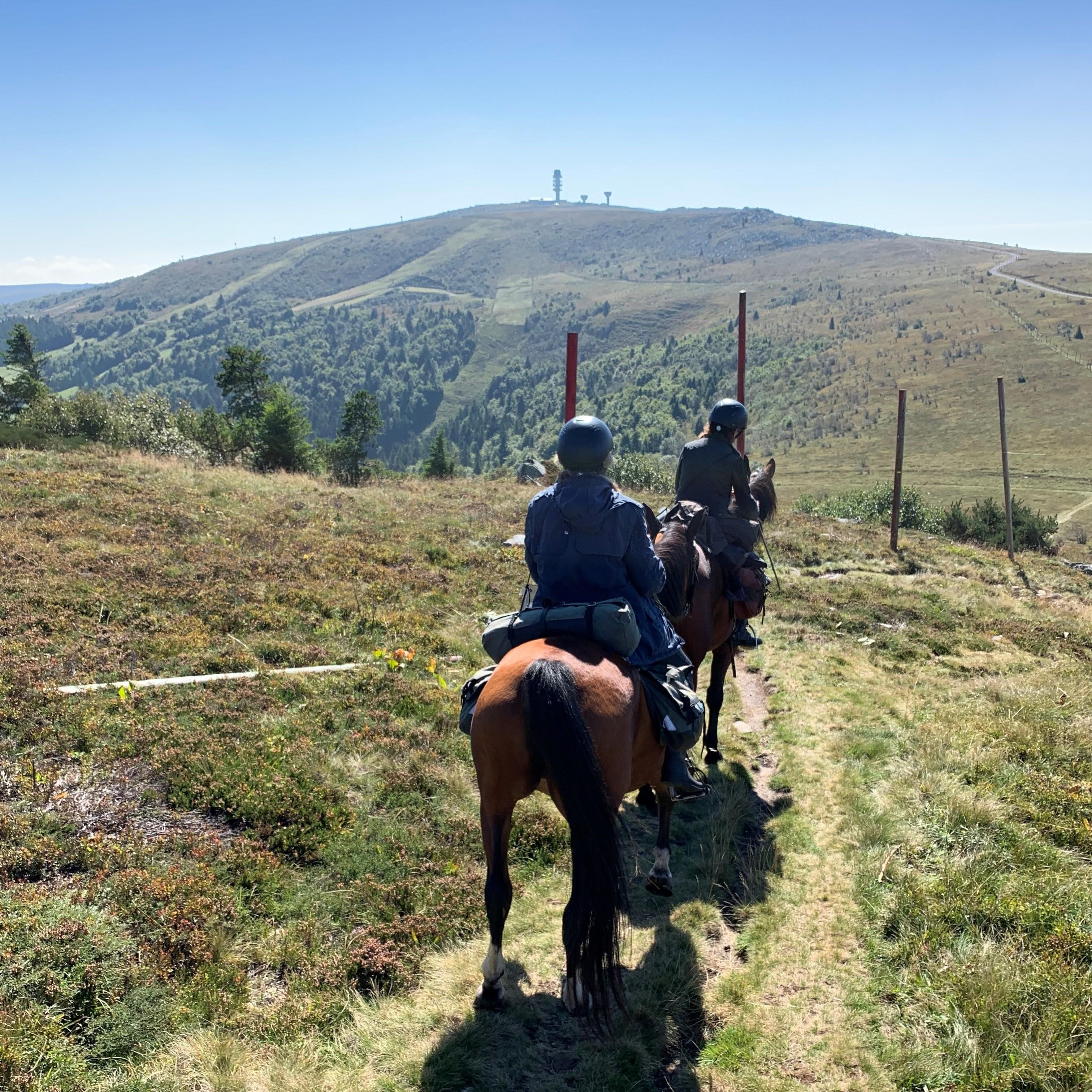 On horseback
 On foot
 Mountain biking