
Montaigut hill
Start: Place du puits, Reignat
- Distance
- 6.9 km
- Elevation gain
- +196 m
- Elevation loss
- -195 m
- Duration
- 2 h 15 min
Route on the map
Base map © OpenTopoMap (CC-BY-SA): route licensed under ODbL via Données : Parc Naturel Régional Livradois-Forez · rando.parc-livradois-forez.org — sous licence ODbL.
The route in detail
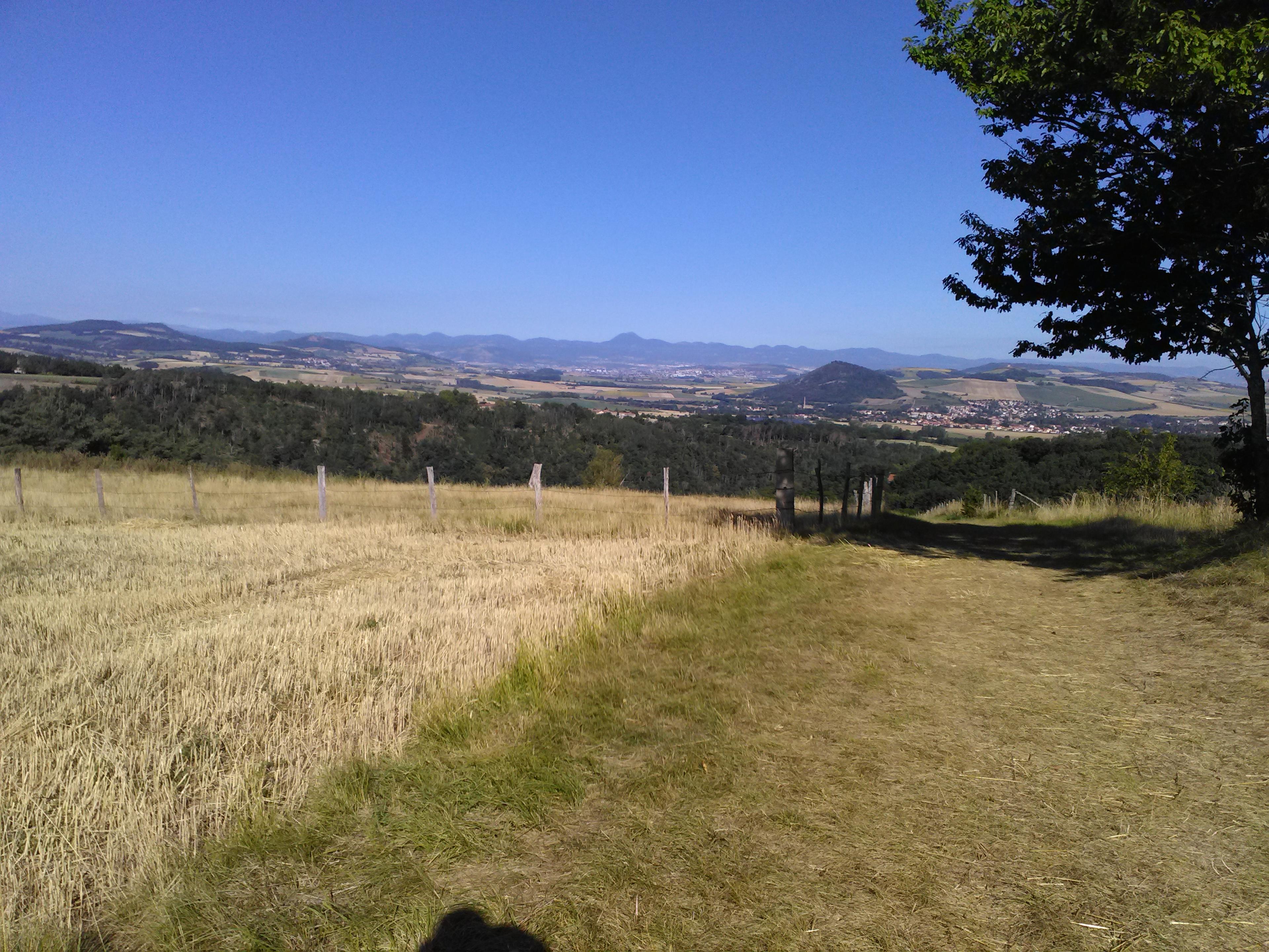
Start at the Place du Puits. Enter Reignat and pass to the right of the main square. At the wash house, climb to the right. At the fork near the fountain, turn left and, 20 m further on, climb to the right. Go along the town hall and carry straight on along the road. The road becomes a path; carry straight on (view of the two Turlurons and Billom on the right, the Château de Montmorin ahead and the Monts du Forez in the background), take the second path on the left at the junction of 4 paths. At the next junction, climb to the right and keep going straight on to the road.
(1) Cross it and carry straight on (view of the Château de Mauzun ahead). At the D 306, turn left and enter “les Vegheants”. Follow the first street on the right by a large house set back. At the junction of 4 paths, carry straight on.
(2) At the next crossroads, (view ahead of the village of Glaine in the foreground then the village of Ravel and the château in the middle distance; off the route: carry straight on to visit the village of Glaine, 2 km there and back) turn left to the road (D 306). Turn right for 20 m and immediately climb to the left (towards Chamoirat/Montaigut). Go through Chamoirat then, at a left-hand bend, follow the path straight ahead. Beneath the remains of the château, bear onto the first path on the left.
(3) At the fork (possible detour off the route straight ahead to the orientation table), climb the road on the right. Just after the ruins, follow the path going down on the right. At the crossroads, go down to the left (view on the right of the Monts du Forez and the Château de Ravel, Thiers and Lezoux, the Courcourt tower, the Chaîne des Puys and Clermont-Ferrand ahead, the two Turlurons and Billom on the left). At the junction of 4 paths, keep going down straight ahead. At the entrance to Reignat, go along the cemetery, continuing straight on. At the main square (wash house), carry on straight ahead to return to the starting point.
In pictures

Other hikes in the area
 On foot
 Cycling
 Cycling