
Le Puech
Start: Parking de la mairie de Peyrusse
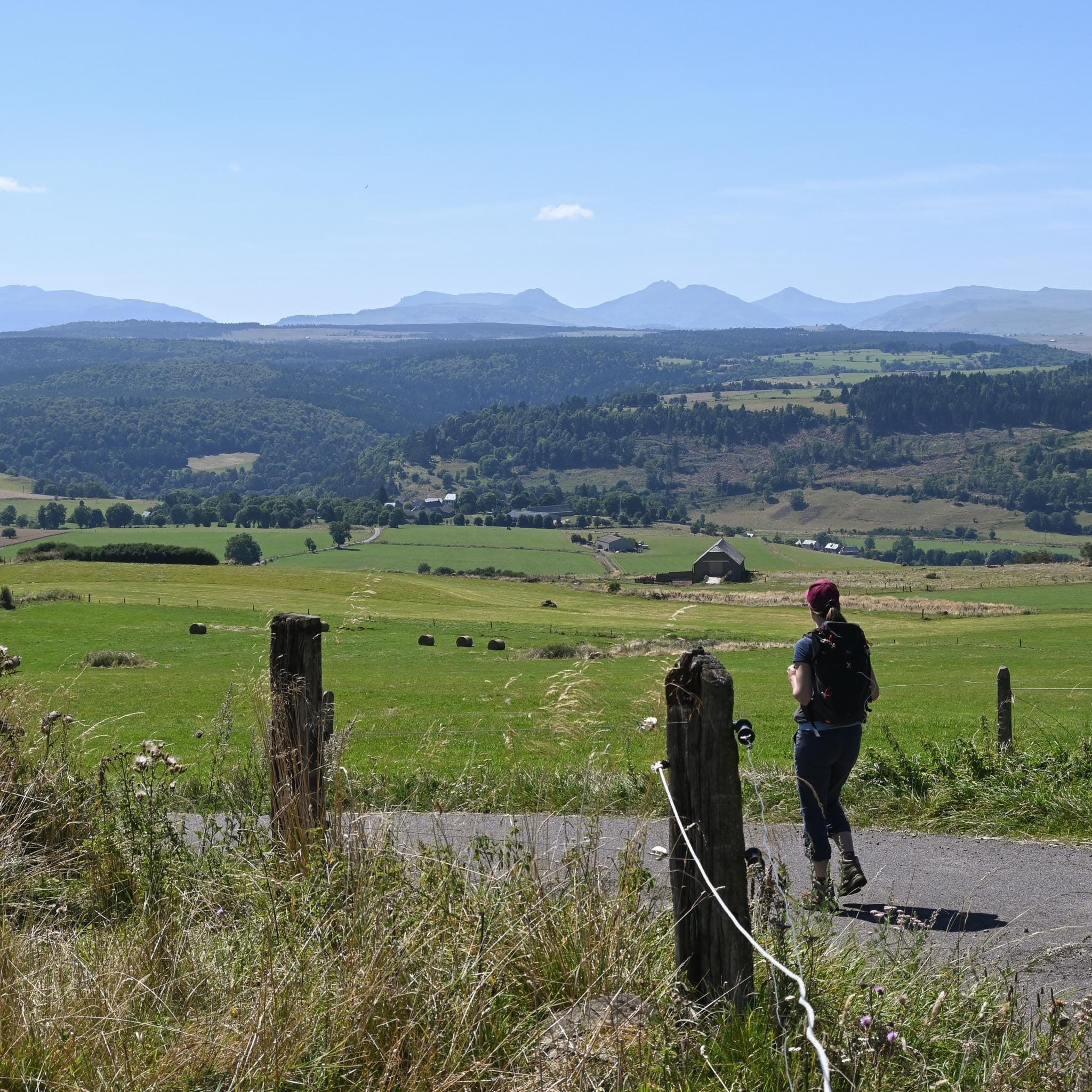
A lovely walk across the Cézallier plateaux, with a pretty view of the Monts du Cantal and the Margeride.
- Distance
- 9.4 km
- Elevation gain
- +332 m
- Elevation loss
- -334 m
- Duration
- 3 h 15 min
Route on the map
Base map © OpenTopoMap (CC-BY-SA): route licensed under ETALAB-2.0 via PNR des Volcans d'Auvergne.
The feel of the route
This walk, starting from the pretty village of Peyrusse, will take you across the grassy expanses of the Cézallier. Between small hamlets and rounded landforms you will have panoramas over glacial valleys.
The route in detail
Park at the municipal car park at the end of the village, below the town hall. From this car park the walk starts along the track that climbs behind the town hall.
After a right-angled bend to the left, take the path on the left that climbs into the woods.
Once past the wood and back on a road, turn right and at the next Y-shaped junction, turn right again.
On reaching Valence, take the road that climbs on your left (Watch out: the waymarking is there but discreet).
Leave Valence along the path that leads to the plateau and at the T-shaped junction, turn left. At the departmental road, take the path on the left again straight away.
On reaching the village, cross the road and take the track that goes down on the left into the undergrowth.
Pass beside the hamlet of Plavarenne, continue straight on along the grassy track that climbs back up the hill opposite.
Ignore the road that leaves to the right and take the grassy track to the left of the pylon, come back down onto the road and continue to the left once more. Climb to Le Puech. On the way down, at the farm, turn right. Go through Peyrusse Haut. After a long bend to the left, follow the path that goes down to the right towards the valley.
Rejoin the road and turn left. Opposite, take the small steep path that goes down into the valley, cross the stream and climb back up to the right towards the village of Peyrusse.
In pictures


Other hikes in the area
 On foot
From Peyrusse to Allanche (stage 5 of the Tour des Vaches Rouges)
Start: Parking à l’entrée du village sous la mairie de Peyrusse.
- 12.5 km
- +377 m
- 3 h 30 min
 On foot
 On foot