
Mountain bikingModerateBoucle
118 - La Roche panorama (waymark no. 6)
Start: Roche en Régnier
A short, easy circuit, setting out between Roche-en-Régnier and Saint-Maurice-de-Roche
- Distance
- 11.2 km
- Elevation gain
- +201 m
- Elevation loss
- -201 m
- Duration
- 1 h 15 min
Route on the map
Base map © OpenTopoMap (CC-BY-SA): route licensed under ETALAB-2.0 via Données : Comité Départemental Randonnée Pédestre Haute-Loire · FFRandonnée · sportsnature.hauteloire.fr — sous licence ETALAB 2.0.
Other hikes in the area
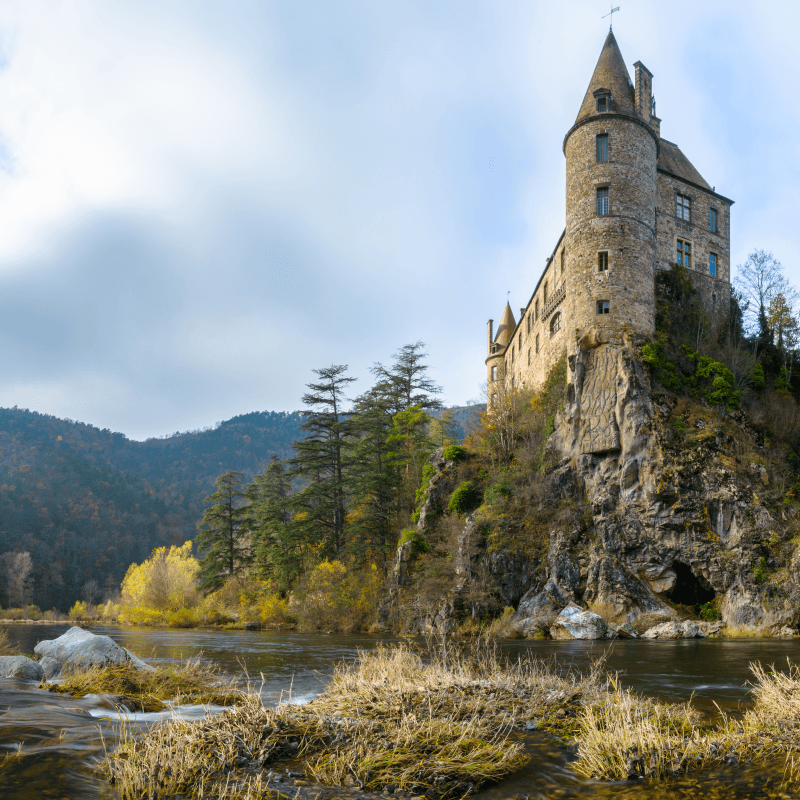 Other activity
Expert
 Mountain biking
Hard
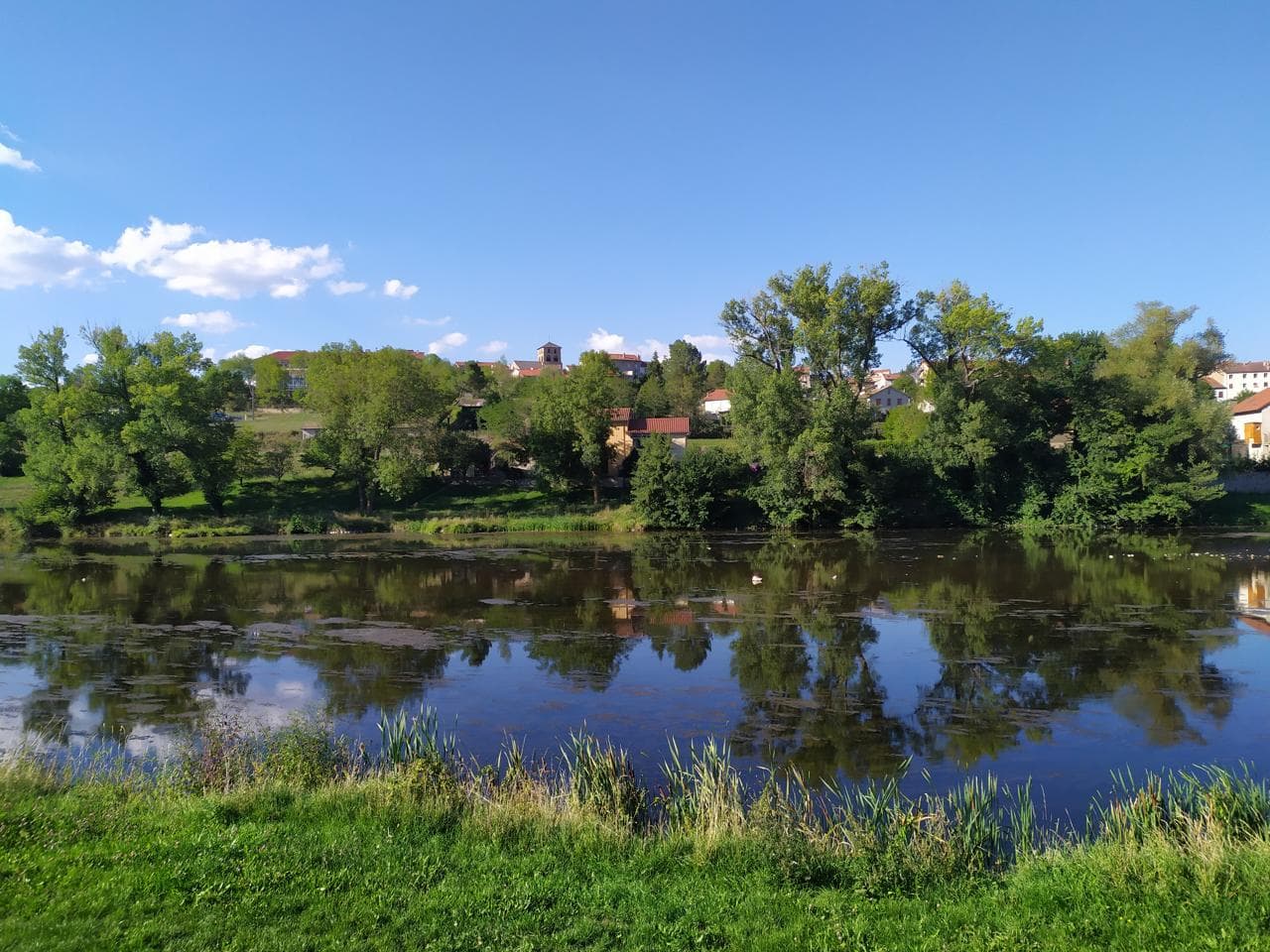 Cycling
Expert