
67 - Les Paziers
Start: Montregard
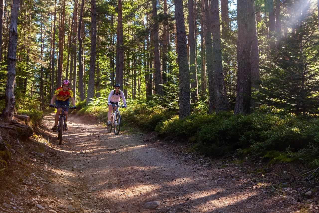
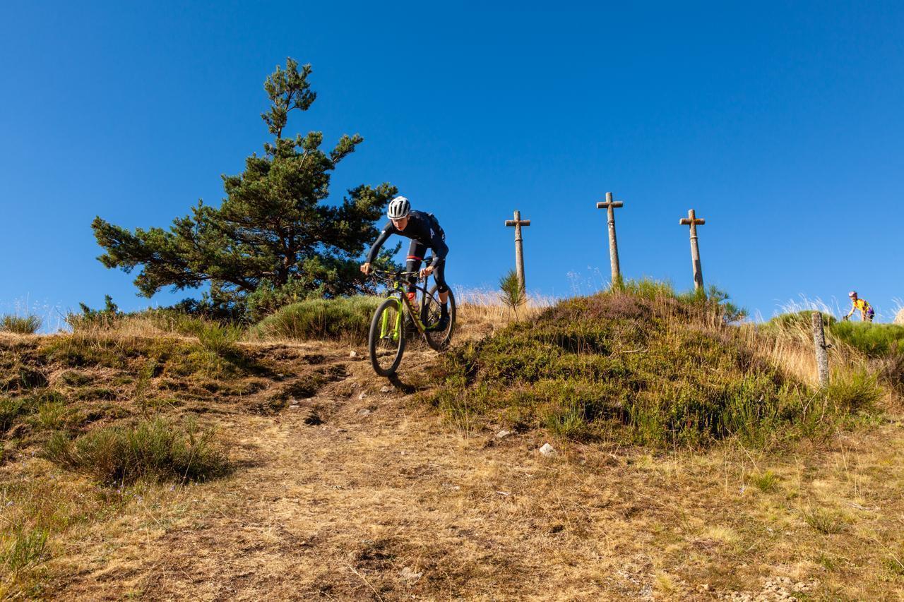
A circuit to do as a family: the first half is mostly downhill and the second mostly uphill. You will take fairly fast-rolling tracks and quiet little roads across the “Hauts-Plateaux” (high plateaux).
- Distance
- 11.6 km
- Elevation gain
- +251 m
- Elevation loss
- -251 m
- Duration
- 1 h
Route on the map
Base map © OpenTopoMap (CC-BY-SA): route licensed under ETALAB-2.0 via Données : Comité Départemental Randonnée Pédestre Haute-Loire · FFRandonnée · sportsnature.hauteloire.fr — sous licence ETALAB 2.0.
The feel of the route
A getaway on the Via Fluvia:
An invitation to travel and to immerse yourself in nature! The Via Fluvia is a cycle route between the Loire and the Rhône, with more than 70 km already laid out in Haute-Loire. Ideal for a relaxed ride, a family stroll with a pushchair, introducing children to the joys of cycling, rollerblading… The Voie Verte (greenway) is a safe tarmac track with little elevation change. Car parks and picnic areas are at your disposal.
The route continues into the Loire département and then the Ardèche. More info: <a href="http://www.viafluvia.fr">www.viafluvia.fr</a>
In pictures

Other hikes in the area
 Mountain biking
 Mountain biking
 Cycling