
La Grande Roulière
Start: La Monnerie-Le-Montel
- Distance
- 5.4 km
- Elevation gain
- +159 m
- Elevation loss
- -159 m
- Duration
- 1 h 30 min
Route on the map
Base map © OpenTopoMap (CC-BY-SA): route licensed under ODbL via Données : Parc Naturel Régional Livradois-Forez · rando.parc-livradois-forez.org — sous licence ODbL.
The route in detail
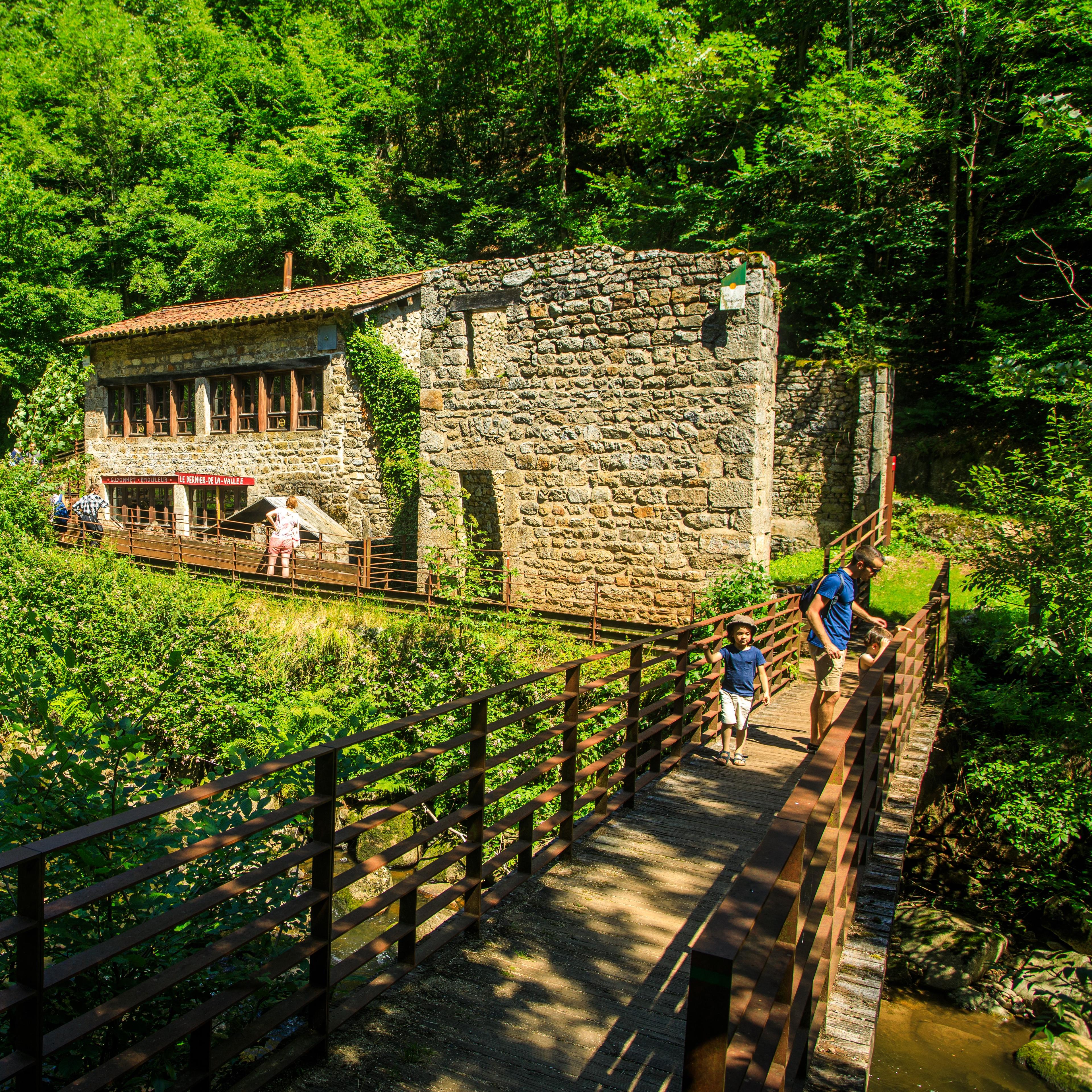
Start: From the car park, turn right, cross the bridge over the Durolle, go up the road on the left and, after the level-crossing keeper's house, take the path that climbs immediately on the left (contrast between the woodland atmosphere, the workshops and the factories; view of La Monnerie, St-Rémy, Palladuc).
1. Go through the hamlet of Luc (at Luc, view of the Montoncel and the Puy Snidre) then, at the fork, turn right.
2. After the water tower, at a crossroads, take the path that carries straight on. At the top of the climb, at another crossroads, keep to the path on the left. Ignore a path going down on the right.
3. At the road, turn right, then at the next crossroads turn right again (view of the Durolle and, close to the Vallée des Rouets on the left, a view down onto the Chêne rond mill and the fault on which the town of Thiers sits).
4. Go through Le Suchet to return to the start.
Other hikes in the area
 On foot
 On foot
 On foot