
On horsebackModerateItinérance
Dore loop
Start: Saint-Éloy-la-Glacière
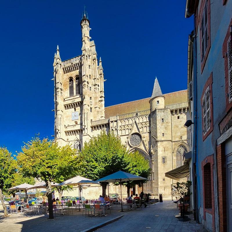
The Livradois-Forez Regional Natural Park, land of grass and trees, promises you a stay you won't forget between valleys and ridges.
- Distance
- 176 km
- Elevation gain
- +4625 m
- Elevation loss
- -4628 m
- Duration
- 168 h
Route on the map
Base map © OpenTopoMap (CC-BY-SA): route licensed under ODbL via Données : Parc Naturel Régional Livradois-Forez · rando.parc-livradois-forez.org — sous licence ODbL.
The feel of the route
In a world coloured in green, the Livradois-Forez will reveal its lovely twists and turns: forests, volcanic hillocks, castles, glacial valleys, but also narrow, rocky paths and high-altitude grassland. Dare to climb up to the summer pasture country, onto the lonely moorland of the Hautes-Chaumes, where you can push open the door of a jasserie (mountain herders' hut) and let the story of the region be told to you.
Other hikes in the area
 Cycling
Hard
 Mountain biking
Hard
 On foot
Moderate