
 On foot
Moderate
Département 15 · Cantal
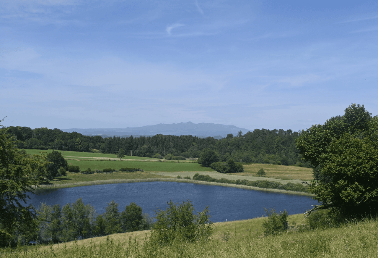
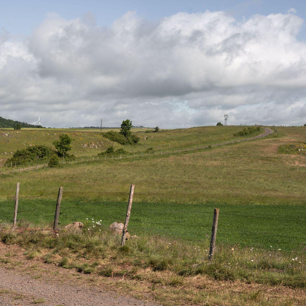
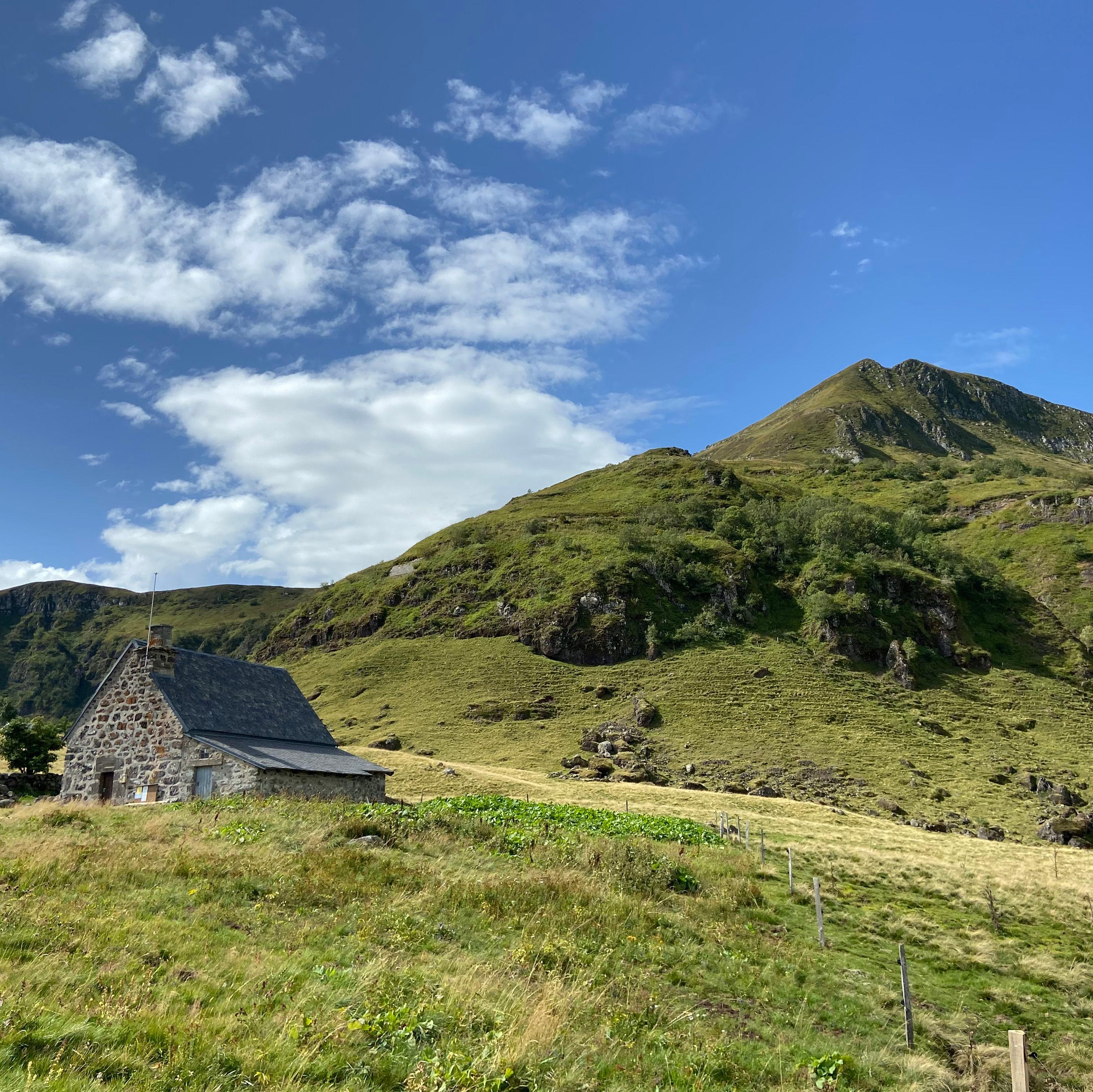
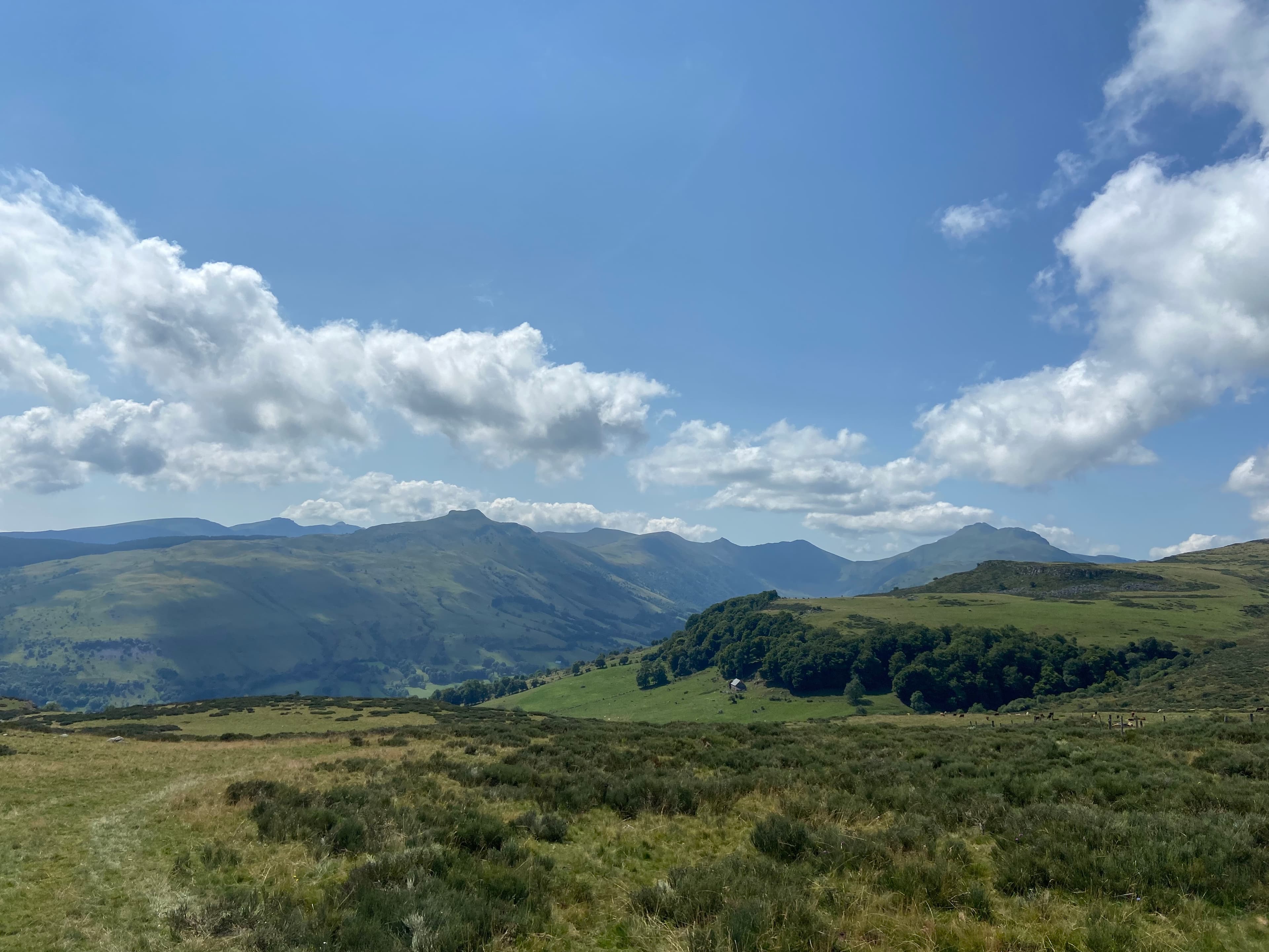
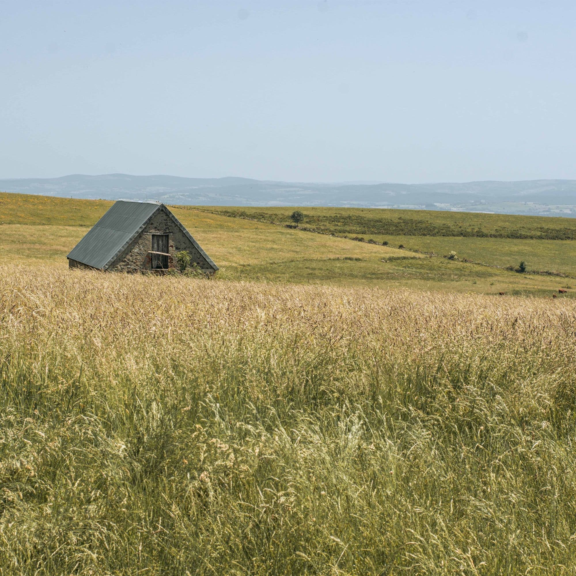
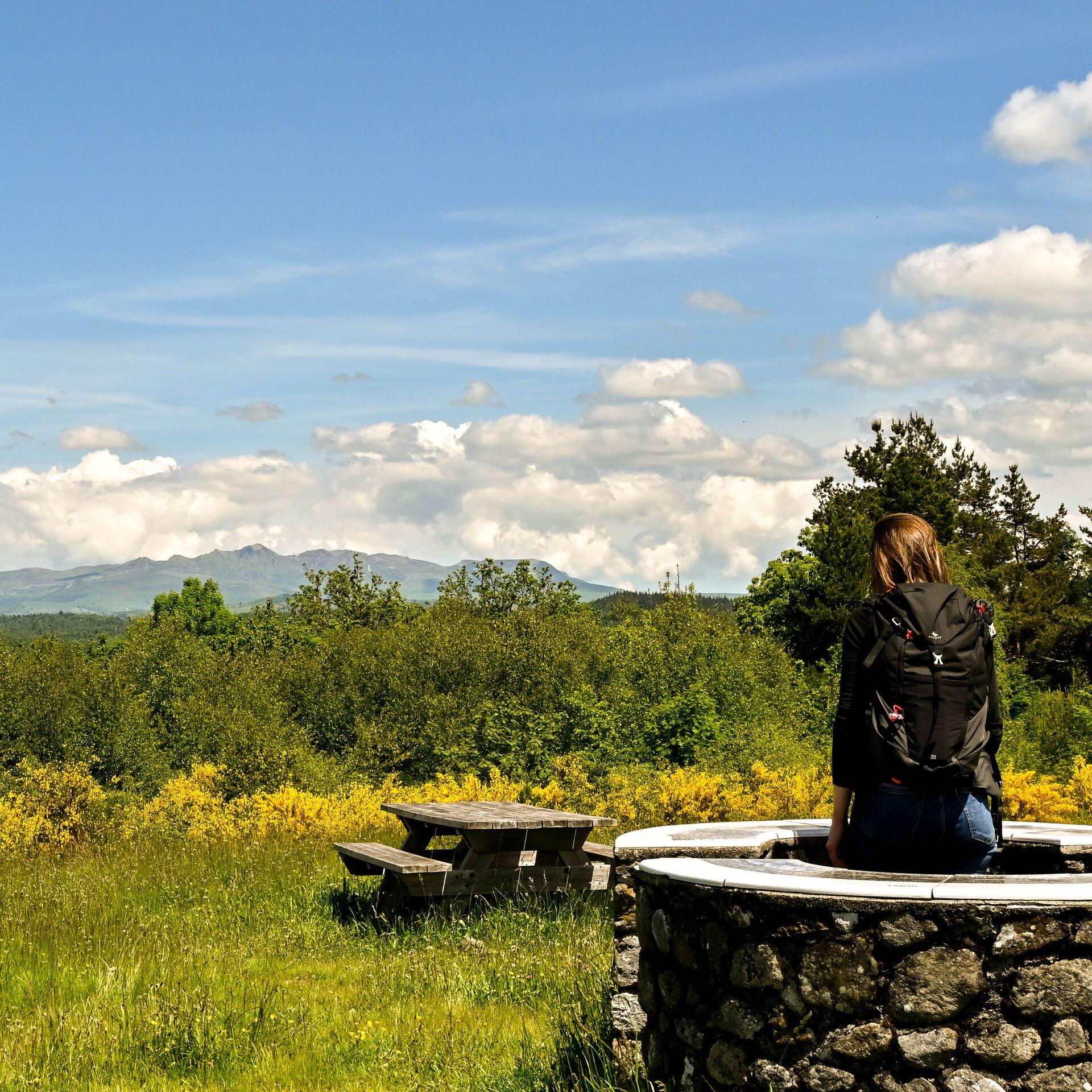
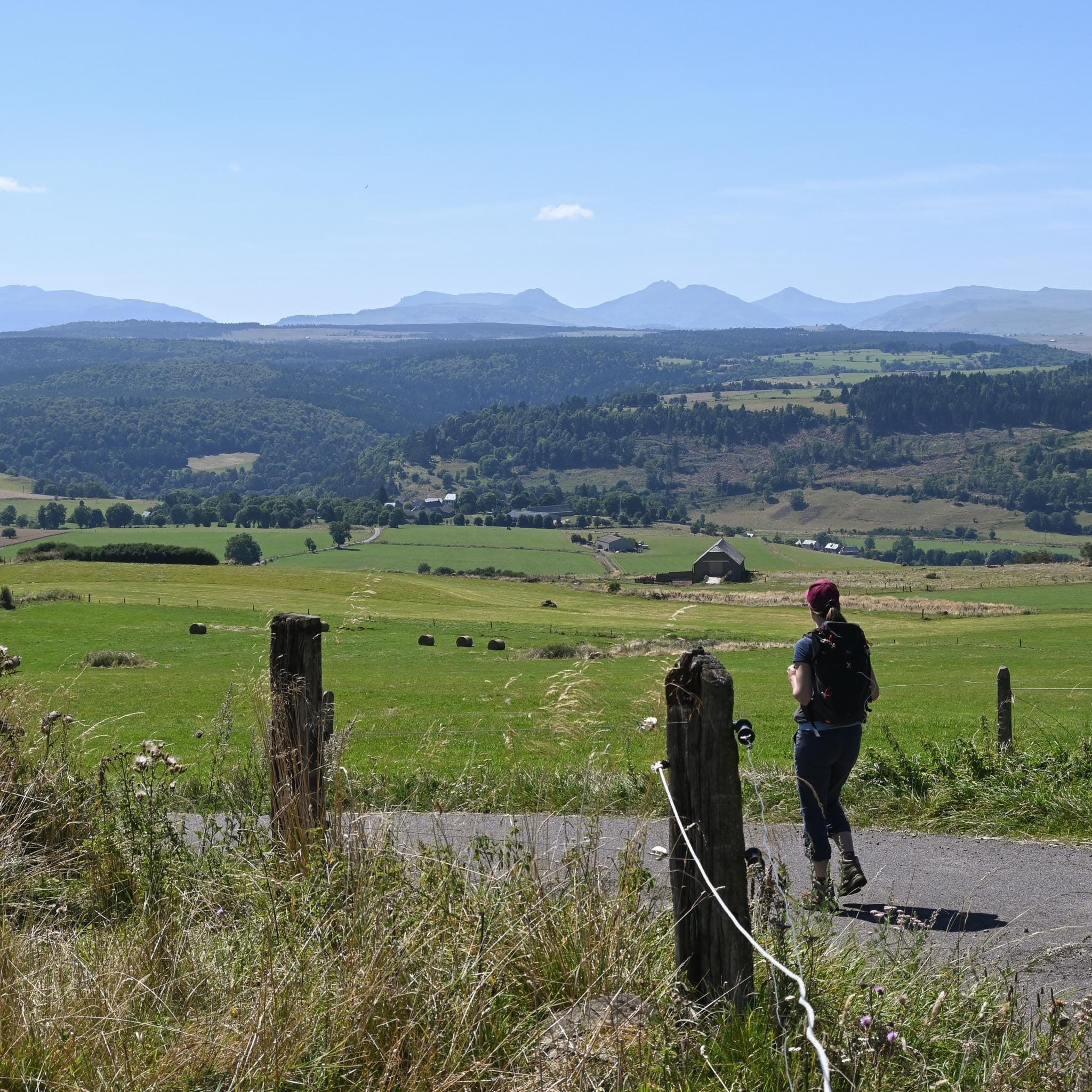
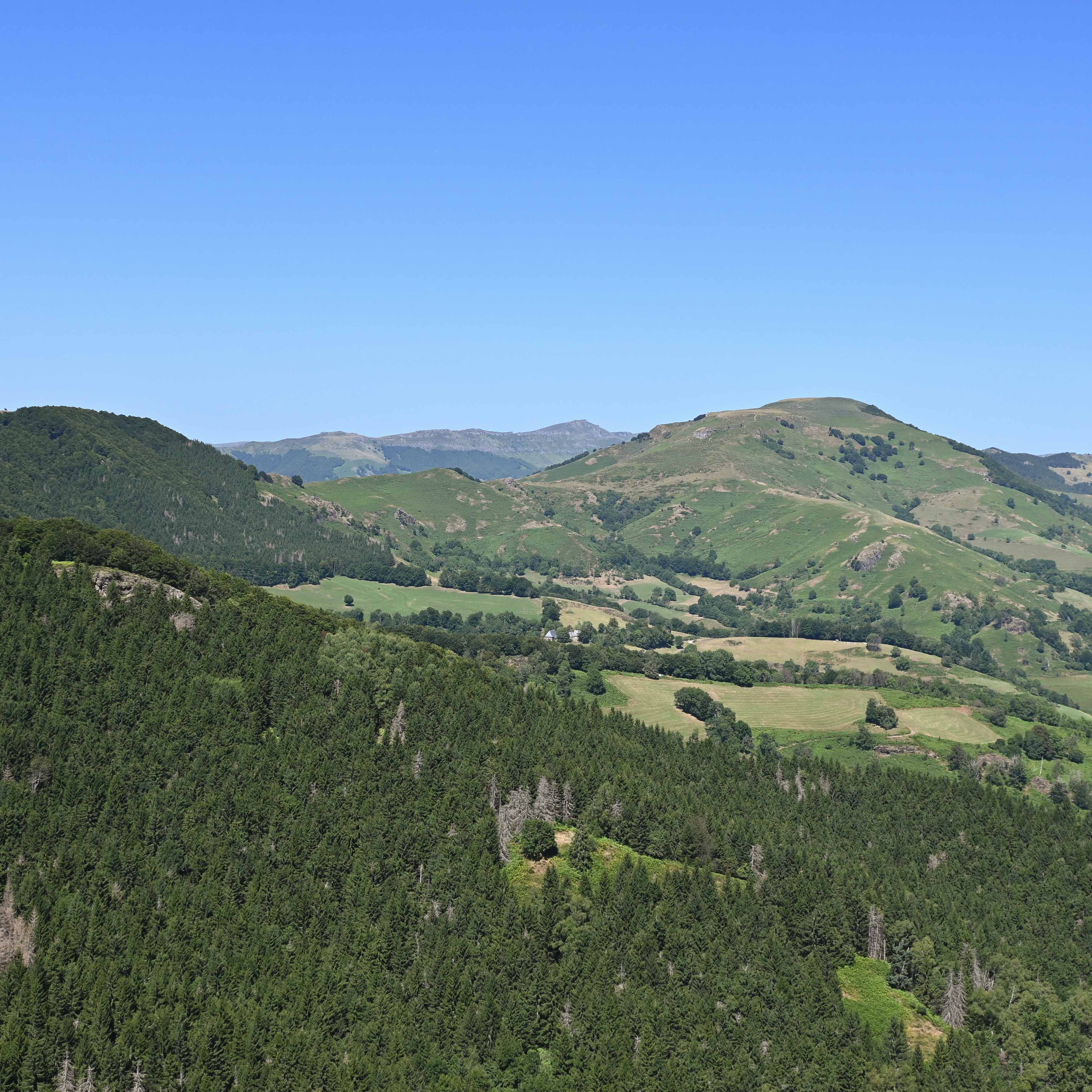
Cantal is the largest volcanic massif in Europe. Its highest point, the Plomb du Cantal (1,855 m), and its emblematic summit, the Puy Mary (1,783 m, Grand Site de France), shape a terrain where the valleys radiate out like the spokes of a wheel. The département is less busy than the Sancy and gives a real sense of space.
On foot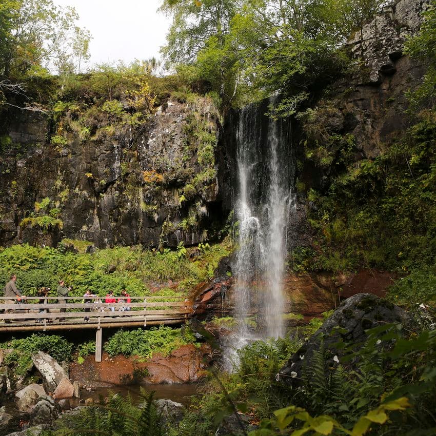 On foot
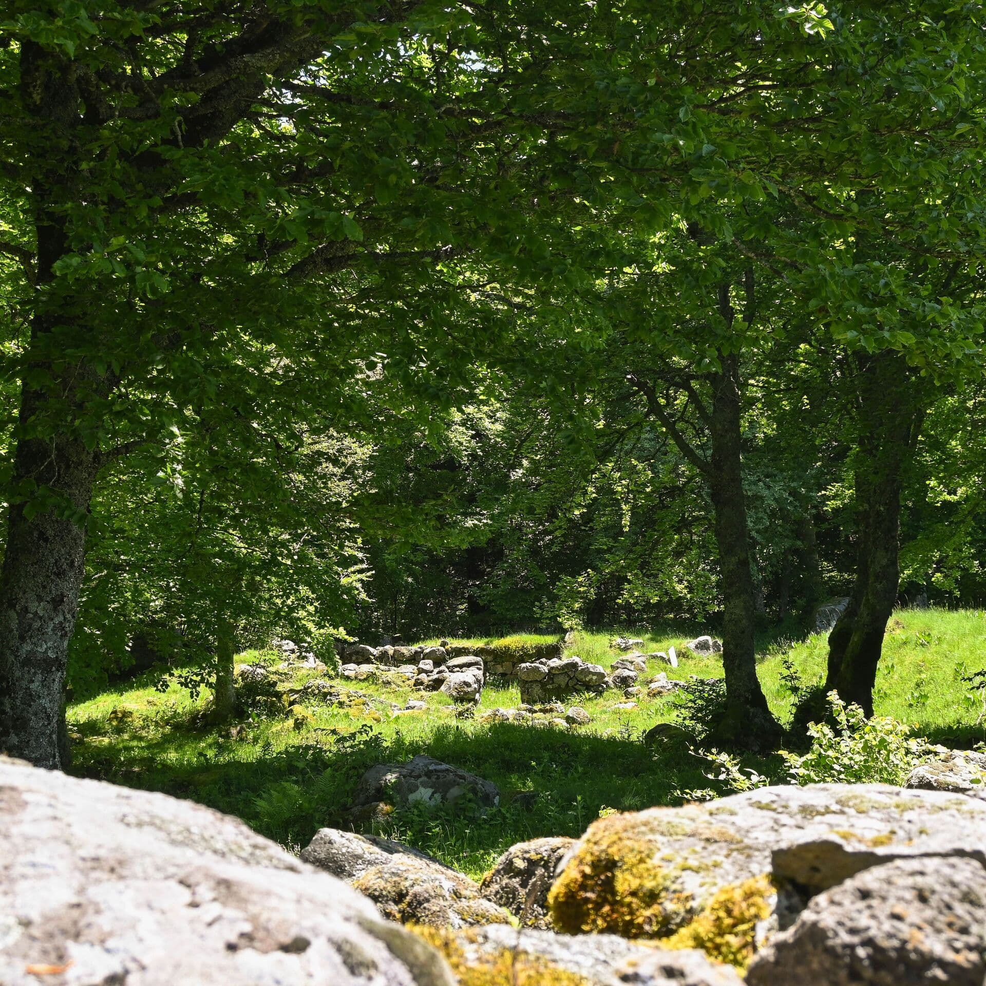 On foot
Start: Parking aménagé des Cases de Cotteughes, Saint-Vincent-de-Salers, 15380
 On foot
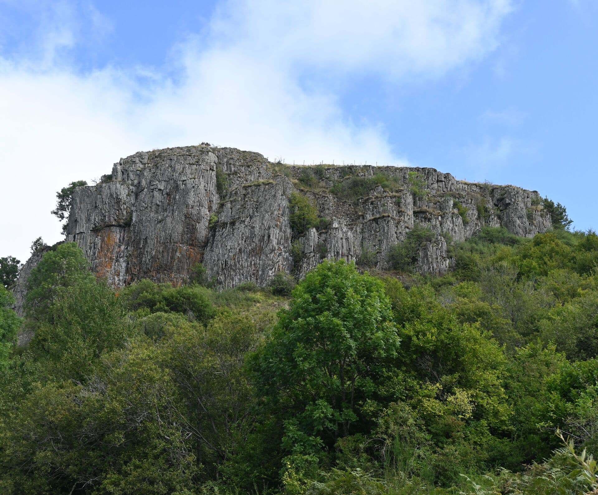 On foot
 On foot
Start: Place du Cézallier à Allanche
 On foot
Start: Parking place du Cézallier à Allanche
 On foot
Start: Parking de l’église à Anzat-le-Luguet
 On foot
 On foot
Start: Hôtel de ville de Marcenant
 On foot
Start: Parking place de l’église à Montgreleix
 On foot
Start: Parking à l’entrée du village sous la mairie de Peyrusse.
 On foot
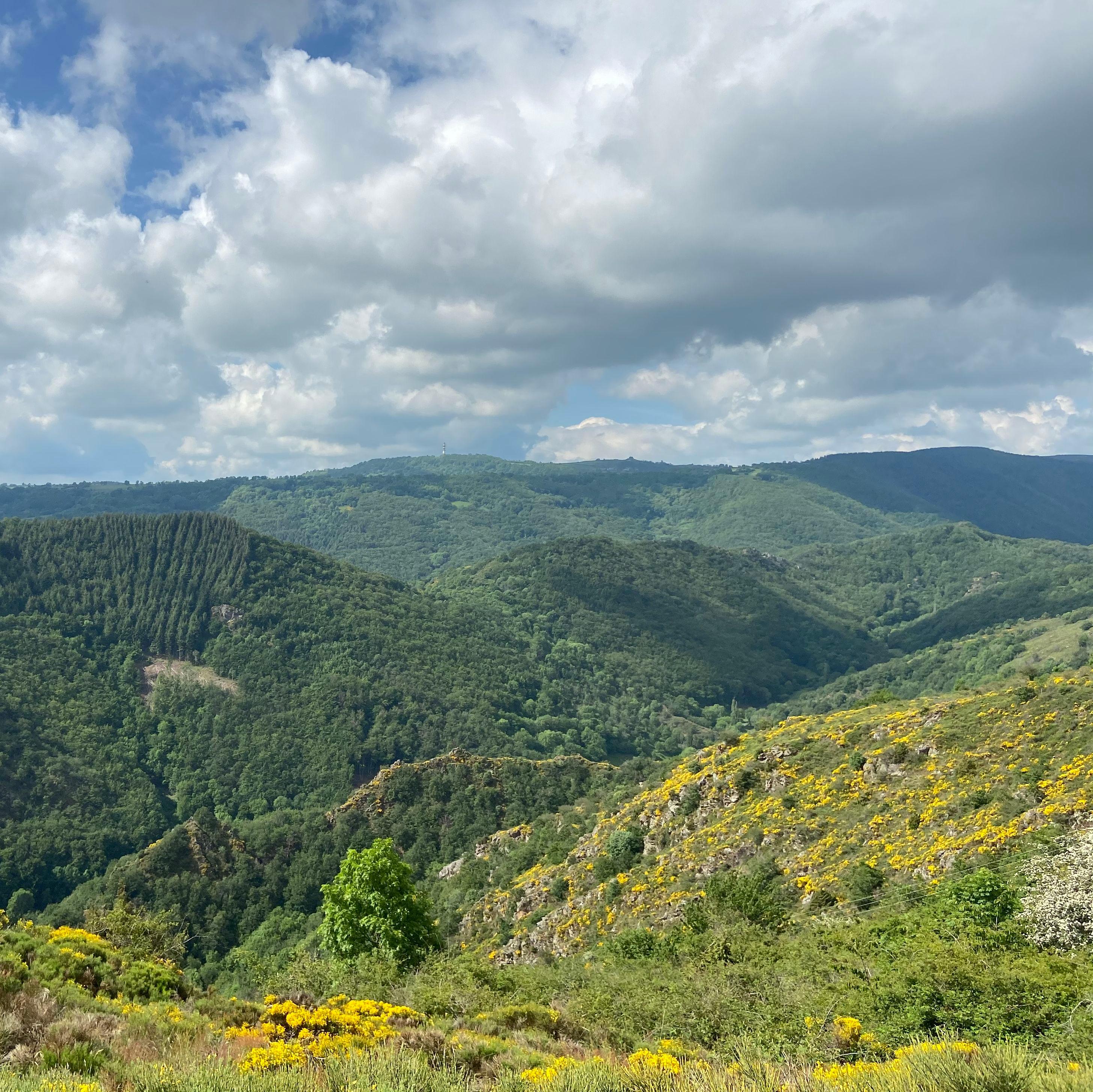 On foot
 Mountain biking
Start: Trizac, place de la Bascule au dessus de la station service du Garage
 On foot
 On foot
 On foot
 On foot
 On foot
 On foot
 On foot
 On foot
Start: Parking devant le collège des Gorges de la Truyère
 On foot
 On foot
The GR400 is a loop of around 110 km. Allow 6 to 7 days fully self-sufficient, staying in gîtes d'étape, refuges or authorised bivouac spots.
Yes, from the Pas de Peyrol (road pass, 1,588 m): a 30 to 40-minute climb up a built staircase, 200 m of ascent. A 360° view over the whole massif. Very busy in July and August.
Menu
Publish a discovery
Your photos, your impressions, or a spot we haven't listed yet.