Le sentier du Garou
Start: Lac du Bouchet (Cayres)
Ce circuit forestier vous entraîne à la découverte de l’écrin bleu du département : le lac du Bouchet. Partez sur les rives du maar volcanique puis prenez de la hauteur jusqu’au bord du cratère, sur le Devès, vaste plateau basaltique.
Le départ du circuit est provisoirement modifié en raison de travaux forestiers : suivez la trace, et pas le balisage, jusqu’à la croix de la Chèvre.
- Distance
- 4.6 km
- Elevation gain
- +132 m
- Elevation loss
- -132 m
- Duration
- 1 h 30 min
Breath: easy. Little climbing: +132 m. If you can walk 1 h 30 min at an easy pace, you'll be fine.
This page isn't translated yet: here's the French version in the meantime.
The route
4.6 km loop · 7 numbered markers
Base map: Plan IGN (Géoplateforme, Etalab 2.0), relief Mapzen. Route under the ETALAB-2.0 licence. Données : Comité Départemental Randonnée Pédestre Haute-Loire · FFRandonnée · sportsnature.hauteloire.fr, sous licence ETALAB 2.0
On the day, follow yourself on this route
“Start the hike” shows where you are on the route, live, how far is left and when you should be back, and records your track. Set it up before you leave, with a signal: it then works without one.
The profile
From 1,207 m to 1,280 m
Slide your finger along the profile: the dot moves along the map.
- under 8%
- 8 to 15%
- over 15%
The steepest stretch: 8% from km 2.4 to km 2.9.
Along the way
1 places along the way, from km 1.3 to km 1.3.
Practical details
- Distance
- 4.6 km
- Duration
- 1 h 30 min
- Climb
- +132 m
- Descent
- −132 m
- Highest point
- 1,280 m
- Lowest point
- 1,207 m
- Route type
- Loop
- Activity
- On foot
- Level
- Very easy
- Waymarking
- PR
- Marker on the ground
- PR655
- Starting town
- Cayres
- Start
Lac du Bouchet (Cayres)
- Suggested parking
- Directions to the car park
A l'entrée de Très Regard, site du lac du Bouchet
- Getting there
Lac du Bouchet (Cayres), à 18 km au sud-ouest du Puy-en-Velay.
Last updated by the source on 30 October 2025.
Did you do it?
Tick it off when you get back: it joins your hiking logbook and counts towards your Trail trophies. You need an account, it's free.
Weather for the next 3 days
Today
9°/4°
4 mm · 28 km/h
Tomorrow
7°/4°
dry · 27 km/h
Tue 17
11°/7°
1 mm · 27 km/h
Source: Open-Meteo (CC BY 4.0). General lowland forecasts, to be cross-checked with specialist mountain forecasts at altitude.
The feel of the route
Le Garou
Le Garou, de son vrai nom Pierre Brin, a vraiment existé. Dans les années 1950 et 1960, ce sonneur de cloches vivait en ermite au bord du lac, dans un grand tonneau de 5 000 litres posé debout à même le sol et coiffé d’un toit pointu.
Il y faisait ses retraites spirituelles, et donnait un coup de main aux paysans des environs contre un peu d’argent ou de quoi manger. Le sentier porte son surnom : à l’étape 4, un chemin à droite vous mène à son tonneau.
Step by step
At the start
Départ provisoirement modifié en raison de travaux forestiers : suivre la trace, et pas le balisage, jusqu’à la croix de la Chèvre. Parcours balisé habituel : depuis la maison de site, rejoindre le carrefour et prendre la route vers la croix de la Chèvre sur 50 m. S’engager alors sur le sentier sur la gauche qui entre dans les bois. Le sentier monte dans le sous-bois et atteint une fourche : poursuivre à droite. Parvenir sur un chemin plus large ; le suivre sur la droite. Le chemin étroit serpente dans les bois puis rejoint un large chemin.
km 0.6
Rejoindre à droite la route au niveau de la croix de la Chèvre. Prendre tout droit l'escalier qui rejoint à nouveau la route. Poursuivre en descendant sur le chemin à main droite. Couper la route et descendre tout droit par la coulée herbeuse pour atteindre le bord du lac du Bouchet au niveau de la plage. Suivre le sentier du bord du lac sur la gauche.
km 1.7
Au niveau d’une clairière, quitter le chemin de ronde du lac en montant à gauche. Rapidement atteindre une bifurcation.
km 1.8
Poursuivre la montée à droite jusqu’à un embranchement. > À droite, accès au tonneau du Garou.
km 2.4
Terminer l’ascension par le chemin à gauche. Au sommet (bord du cratère), le chemin rejoint un parcours de santé ; le suivre à droite en crête jusqu’à la route.
km 3.6
Dévaler le sentier sur la droite pour retrouver le bord du lac. Reprendre alors le sentier de ronde sur la gauche sur 400 m et découvrir un sentier sur la gauche.
km 4.3
S’engager sur ce sentier à gauche. Déboucher sur une route ; la suivre à gauche, puis tourner à droite pour retrouver le départ.
A hike is a whole day
Around this hike
After the walk
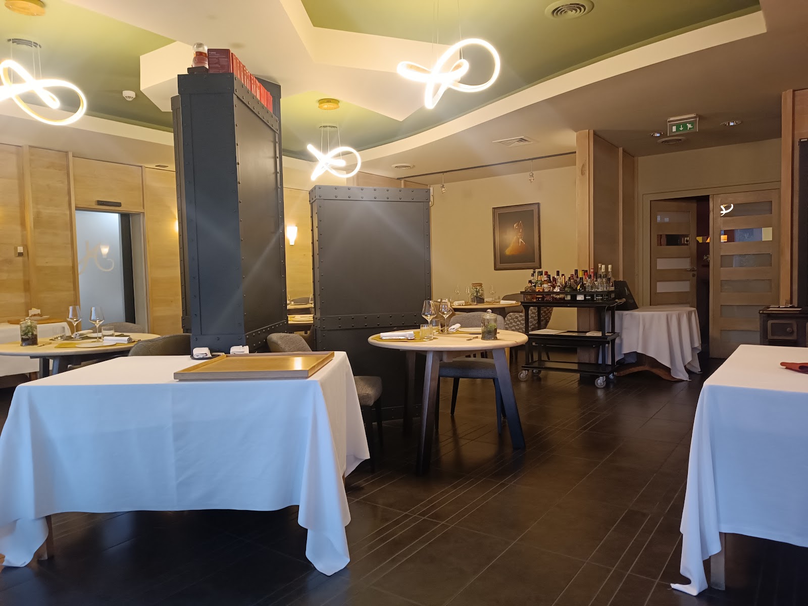
None of our restaurants within 8 km. The nearest one:
Stay nearby
Our places to stay within 15 km.
Hikers' reviews
Loading reviews…
Frequently asked questions
- How long is the route?
- The route is 4.6 km long.
- How long does it take?
- Allow about 1 h 30 min of walking, at your own pace.
- How much climbing is there?
- 132 m of climbing and 132 m of descent in total.
- Is it a loop?
- Yes, it is a loop: you come back to where you started.
- Where to park?
- A l'entrée de Très Regard, site du lac du Bouchet
- Where to eat after the hike?
The nearest of our restaurants:
- Hôtel Restaurant du Haut AllierAlleyras · 9.8 km from the start
- What is the highest point?
- The route climbs to 1,280 m above sea level. Its lowest point is 1,207 m.
More routes nearby