
Puy de Courdeloup
Start: Cabine téléphonique, Isserteaux
- Distance
- 9.5 km
- Elevation gain
- +284 m
- Elevation loss
- -284 m
- Duration
- 3 h
Route on the map
Base map © OpenTopoMap (CC-BY-SA): route licensed under ODbL via Données : Parc Naturel Régional Livradois-Forez · rando.parc-livradois-forez.org — sous licence ODbL.
The route in detail
Start 30 m after the church, park in the parking spaces next to the phone box. Facing the inn, take the street on the right that goes down and becomes a stony track (view of the Puy de Courdeloup ahead, the wooded part of the Puy).
(1) At the end of the track, follow the D 9 ahead, ignore a first track then take the second track on the left that climbs (view of the Sancy massif and the Puy de Dôme), continue on the same track that runs alongside the Puy de Courdeloup on the right (view of St-Jean-des-Ollières in the foreground, the Monts du Forez in the middle distance ahead, and Château de Seymier on the left).
(2) At the crossroads of 4 tracks bear right towards the Puy de Courdeloup and continue on the main track (low walls marking out the plots where herds used to graze; today the hornbeams or pollards (trees) have taken these walls back by growing on them). At the next crossing (view of the basalt rock jumble of the Puy de Courdeloup on the right), continue slightly to the right and keep to the main track.
(3) At the D 9 (view of the Sancy massif), follow it to the left (view of the Pic de la Garde; its rocky scree and the Virgin on the left). Leave the road that goes off to the left to the village of Bourgis and, at the house (place known as Bioge), take the grassy track on the right that goes down into the small valley to reach the hamlet of Le Gacard. Enter the hamlet, go along the bread oven on the right and continue ahead.
(4) On leaving the village (view of the Puy de Dôme), before the farm buildings, take the track going down on the right, cross the Bouchisse stream and climb back up to the hamlet of Bouchiche.
(5) In the village, take the tarmac track on the left that climbs, go round the hairpin bend to the right (view of the Puy de Courdeloup on the right and Isserteaux) and take the track on the left. At the crossroads, take the first stony track on the right that goes down to the road. At the road, follow it to the right to enter the hamlet of Champorent.
(6) Cross the hamlet and take the grassy track ahead. At the top of the climb, join a wider track and follow it to the right (view of the Puy de Dôme). Go through the village of Montagnet (ruined village), continue on the main track (view of the Sancy massif on the left).
(7) Go through the hamlet of La Rochette as far as the D53, follow it to the left for 50 m and take the first track on the right that runs alongside Montjoux (cross). At the entrance to the village of Isserteaux, go straight ahead, along the apse of the church. At the war memorial, turn left to return to the inn.
In pictures

Other hikes in the area
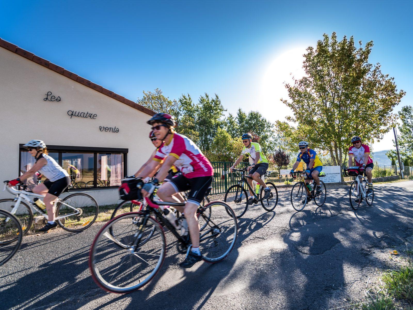 Cycling
Between the Comté and the Pays d'Issoire (road circuit no. 17)
Start: Centre nature les 4 Vents
- 126 km
- +1764 m
- 8 h
 On foot
 Cycling