
13 - From the Lignon to Pouzols
Start: Tence
Temporarily closed: La Valette footbridge is impassable. A return via the D 63 is possible
From the banks of the Lignon, a river rich in fish, you will go round the Bois de Joux, and you will come back past the Château du Besset, which once controlled access to the river.
- Distance
- 17.8 km
- Elevation gain
- +391 m
- Elevation loss
- -391 m
- Duration
- 1 h 30 min
Route on the map
Base map © OpenTopoMap (CC-BY-SA): route licensed under ETALAB-2.0 via Données : Comité Départemental Randonnée Pédestre Haute-Loire · FFRandonnée · sportsnature.hauteloire.fr — sous licence ETALAB 2.0.
The feel of the route
The red fruits of the Monts du Velay: The Monts du Velay red fruit growers' group is based in the heart of the Massif Central, in Haute-Loire. It produces mountain red fruit grown between 700 and 1,150 m above sea level: strawberry, raspberry, redcurrant, blackcurrant, blackberry and bilberry, from June to the end of September each year.
In the 1960s, a first strawberry crop was set up in the commune of Saint-Jeures. With the introduction of milk quotas in 1987, farmers needed to find new lines of production to develop. The Monts du Velay offer growing conditions specific to the mountains. The abundant sunshine, wide open spaces and pure air give the fruit their distinctive local character. As a result, the Perles des Monts du Velay have a taste quality far superior to the fruit usually found in the shops. The sugar content is high because of the altitude. Indeed, the off-season effect of altitude lets the fruit ripen later in the season, and so in the summer sun.
The route in detail
The first short climb comes after leaving the banks of the Lignon, up to Utiac. After that, the slope is steady and the forest or farm tracks are fast-rolling up to the 10th kilometre. A fairly technical descent follows, down to the footbridge over the Lignon. Over the last 3 kilometres, a short climb up to the Château du Besset is followed by a fast-rolling section to the village of Tence.
In pictures

Other hikes in the area
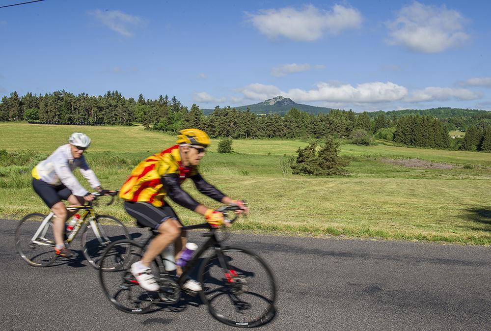 Cycling
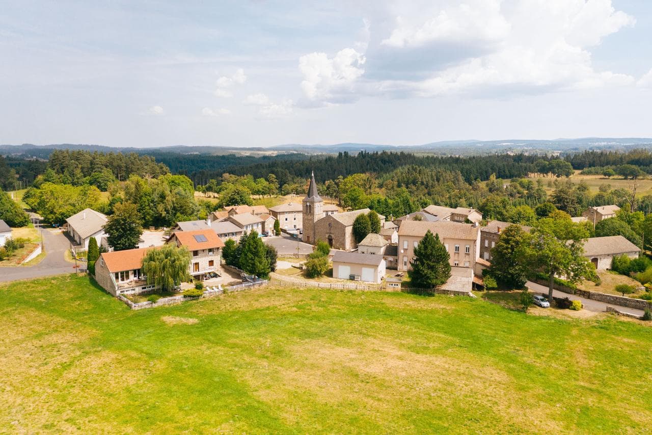 Cycling
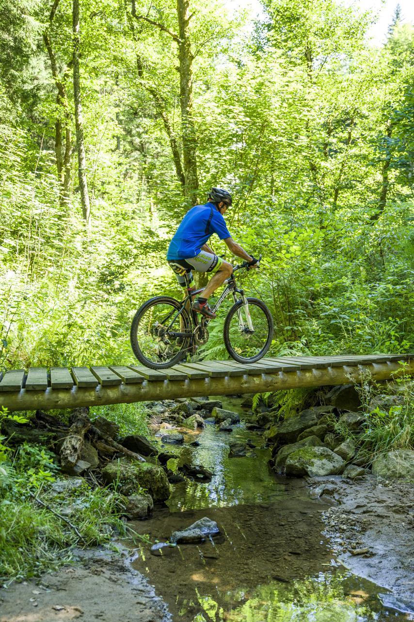 Mountain biking