
Passing through Olliergues (road circuit no. 15)
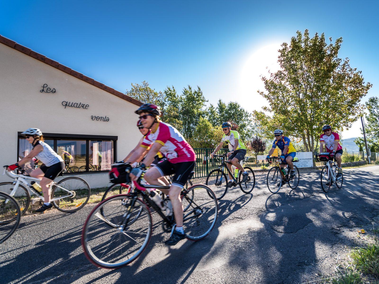
Start: Centre nature les 4 Vents
- Distance
- 58.9 km
- Elevation gain
- +1116 m
- Elevation loss
- -1116 m
- Duration
- 4 h
Route on the map
Base map © OpenTopoMap (CC-BY-SA): route licensed under ODbL via Données : Parc Naturel Régional Livradois-Forez · rando.parc-livradois-forez.org — sous licence ODbL.
The feel of the route
This loop alternates very manageable climbs and descents, rarely very long, which usually lets you recover while enjoying views of the Forez and the Limagne plain. A stop at Saint-Dier-d'Auvergne lets you discover its former fortified priory, which remains one of the finest examples of Romanesque art in the Livradois. Later you will reach Olliergues, a small town whose position straddling the very deep-cut valley of the Dore long made it a strategic place. The recent restoration of its streets makes it a pleasant spot, especially in summer when you are looking for the coolness of the nearby river. Its heritage is interesting, with its medieval bridge, its church and its château, which houses a museum of the arts and traditions of the Olliergues area to discover. But there is also a living heritage thanks to the many craftspeople, almost all of them on the D906 on the way out of the town towards Ambert. Most of them belong to the Route des Métiers and often offer a free introduction to their craft. You can also buy very personalised souvenirs there.
Other hikes in the area
 Cycling
 On foot
 Mountain biking
Around the Couzon valley (loop no. 8)
Start: Centre nature des 4 vents (Aubusson d'Auvergne)
- 13.3 km
- +338 m
- 1 h 30 min