
Puy d'Assac and the Bois de Montrozier
Start: Parking devant le collège des Gorges de la Truyère
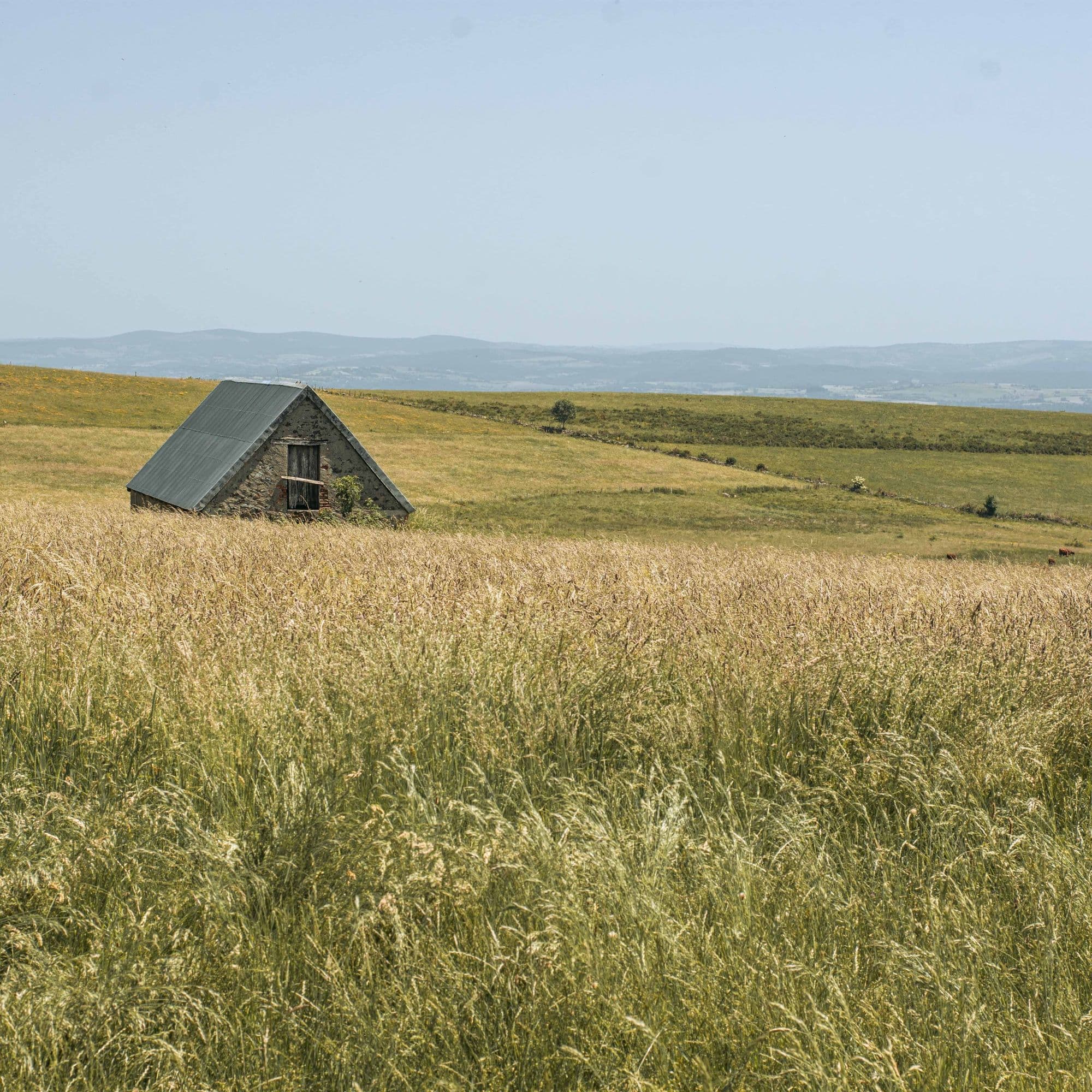
Along its paths, this route reveals splendid viewpoints over the Monts du Cantal from the southern limits of the Park.
- Distance
- 13.5 km
- Elevation gain
- +297 m
- Elevation loss
- -301 m
- Duration
- 4 h 15 min
Route on the map
Base map © OpenTopoMap (CC-BY-SA): route licensed under ETALAB-2.0 via PNR des Volcans d'Auvergne.
The feel of the route
On this walk, you will enjoy lovely viewpoints over the Brezons valley, one of the most beautiful glacial trough valleys according to the famous volcanologist Haroun Tazieff, notably for its clearly marked "U" shape. You will also pass close to the Montrozier pond, a spot particularly well suited to fishing.
The route in detail
Start: in Pierrefort, take the road towards Saint-Flour then take the road on the right behind the post office towards Saint-Gervais. Climb past the secondary school.
At the sports ground, head left towards the Bois de Chabridet. Follow the Roman road.
Enter the Bois de Chabridet. Go as far as the crossing in the middle of the wood.
At the crossing, take the path on the left and follow it to the sandy track. Follow it to the left as far as the D990.
Follow the D990 to the right for 200 m, then take a path that branches off to the left and goes round the Puy d'Assac.
On reaching the D34, follow it to the right for 300 m then take the path on the left that climbs towards Trénac.
On reaching the road, turn right. In Trénac, take the first lane on the left between the houses.
Follow a sandy path. It comes to a small pond; keep following the path. View of the Puy de Bâne, the Puy de la Cède, the Plomb du Cantal and the Puy du Rocher.
Turn left at the entrance to the Bois de Montrozier and go through it.
Come out on the D265 (watch out: the path comes out on a bend). View of the Brezons valley. Immediately take the footpath that goes down to the left to Pierrefort.
In pictures


Other hikes in the area
 On foot
 On foot
 On foot