The route
Start: facing the start sign, set off to the left of the large building (the Nordic ski lodge). You cross a meadow, along the slope above a road.
When you reach the road, take it to the right, heading downhill, and you come to the esplanade in front of the lake, next to the inn.
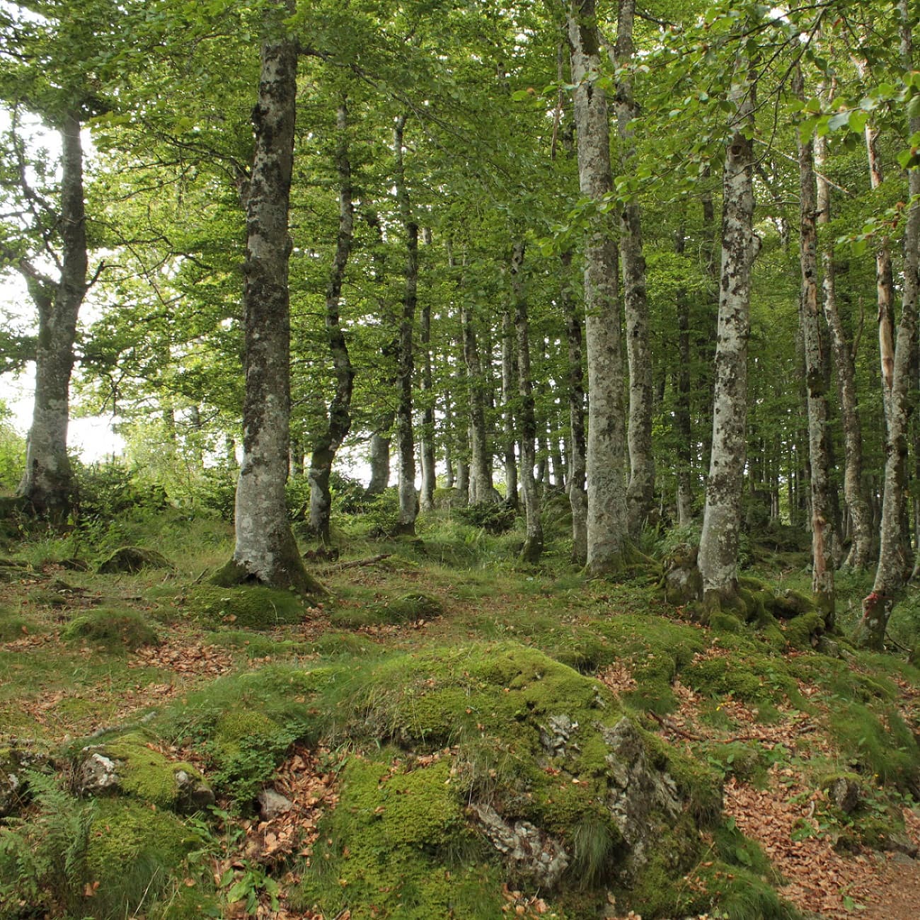
Carry on along the lakeside path, following signs for “Puy de Montchal”, as far as “La pierre carrée”. Climb to the right through the beech wood to a junction signed “le ramier”.
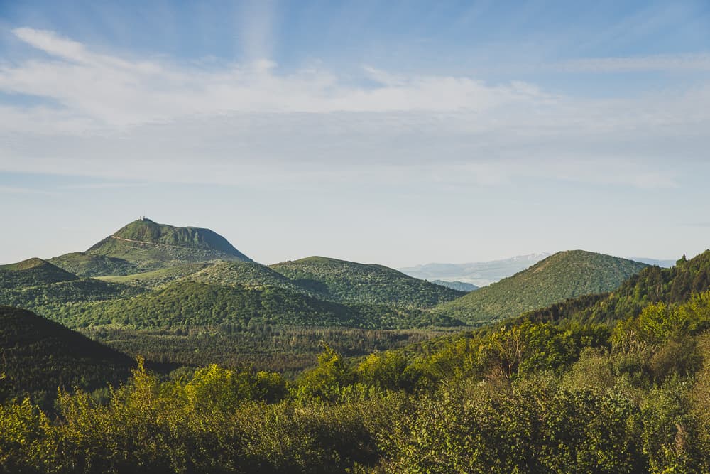
Cross the wide track and climb the narrow path opposite, signed “Puy de Montchal”, to a junction on the rim of the Puy de Montchal. Climb to the right to the summit (1,407 m, view of the Massif du Sancy). Continue along above the crater, keeping it on your left, and go down to a 4-way junction.
Go down to the right
At the fork, carry on left to a T-junction. Go left for 100 m, then go down to the left again to reach a road.
Follow the road to the right, go past the “creux de Soucy” and stay on the road for another 100 m to a junction with a path on the left.
Take this path on the left and, at the first junction, go left. Stay on the main path to a T-junction.
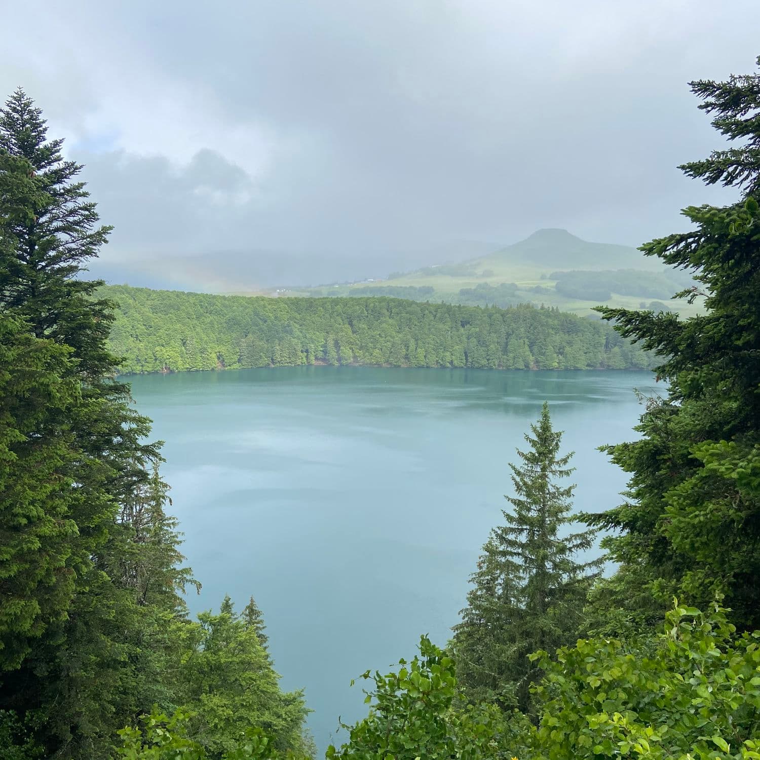
Head left and keep straight on: after crossing a road, you reach the viewpoint over Lac Pavin and the Massif du Sancy. Continue for 50 m,
Cross the road and take the path that goes downhill. Go over 2 stiles, past Lac Estivadoux, and climb to the left up to a road.
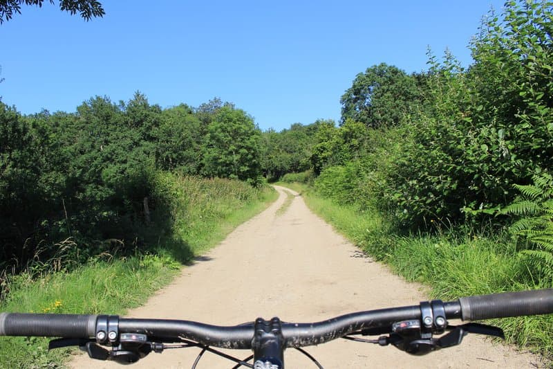
Cross the road to take the path, then soon turn left onto the wide main track.
As you leave the forest, turn left and then straight away right, heading downhill back to the starting point.
What it is like
This route is your chance to discover Lac Pavin, born of a volcano, its deep waters filling the place where the crater was. Its almost perfectly round shape, its unique ecology... and its frightening legends will surprise you. The path follows the shore, then winds along facing the Cirque de la Biche. The summer pastures and their burons (herders' huts) are ringed by conifers. Views over the Artense and the Sancy and Cantal massifs await you all along the route.
Getting to the start
In the commune of Besse-Saint-Anastaise, 47 km south-west of Clermont-Ferrand. The lake is 2 km from Besse on the D978 (the Egliseneuve d’Entraigues / Besse road).
Parking
Espace nordique de Pertuyzat (Nordic ski area)
Advice
- Dogs are not allowed on part of the route, so this hike is not possible with a dog, even on a lead. - The route cannot be walked in winter when the Besse Pertuyzat Pavin ski area is open. - From the start of the ski trails, you will then find snowshoe routes <a rel="noopener" href="https://www.sancy.com/pratique/enneigement/ski-de-fond-raquettes-superbesse-besse-picherande/" target="_blank">see this page</a>