
Below the Grün de Chignore (circuit no. 13)
Start: Centre nature des 4 vents (Aubusson d'Auvergne)
This waymarked circuit climbs close to Vollore-Ville, then heads along paths to the hamlet of Chossière before climbing again to the hamlets of La Chaise basse then La Chaize haute, after which the path becomes much stonier. It thus joins the old Roman road in the woodland on the flanks of the Grun de Chignore, a vast granite scree. You then follow it as far as Montbartoux before continuing on a path with no technical difficulty to the hamlet of Fargevielle. From there, the return, mostly downhill, often proves technical because it mostly follows stony footpaths and paths that may in places have very deep ruts after heavy storms.
- Distance
- 22.3 km
- Elevation gain
- +543 m
- Elevation loss
- -545 m
- Duration
- 2 h 30 min
Route on the map
Base map © OpenTopoMap (CC-BY-SA): route licensed under ODbL via Données : Parc Naturel Régional Livradois-Forez · rando.parc-livradois-forez.org — sous licence ODbL.
Other hikes in the area
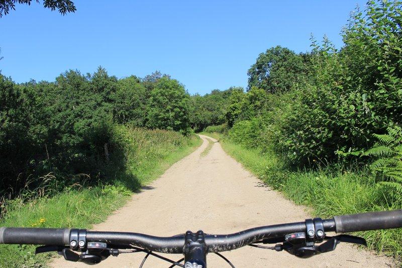 Mountain biking
Woodland and granite (circuit no. 17)
Start: Centre nature des 4 vents (Aubusson d'Auvergne)
- 27 km
- +684 m
- 3 h
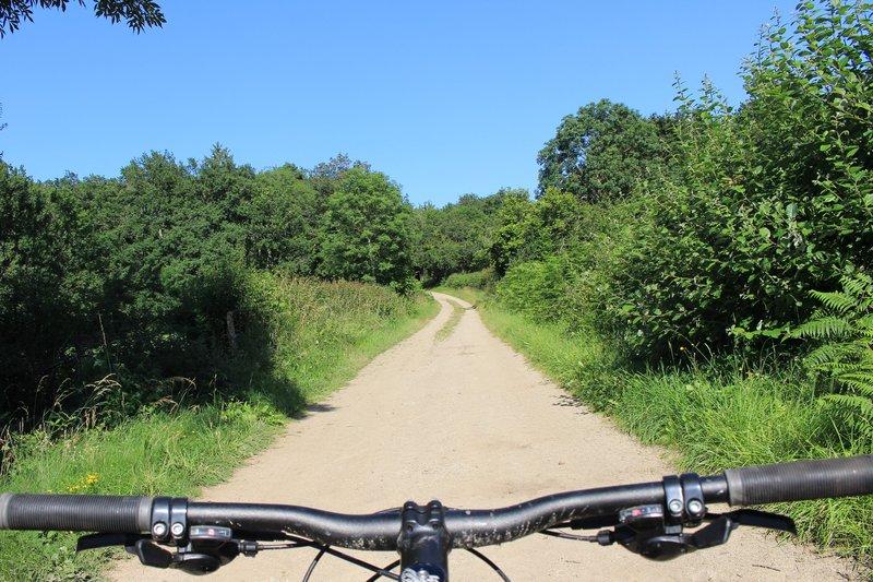 Mountain biking
Bois de la Plaine (circuit no. 3)
Start: Centre nature des 4 vents (Aubusson d'Auvergne)
- 8.9 km
- +103 m
- 1 h 30 min
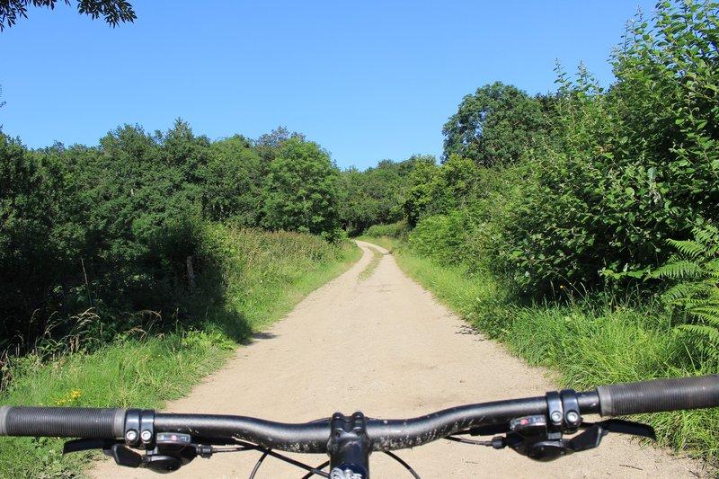 Mountain biking
The fords of Le Cros (circuit no. 6)
Start: Centre nature des 4 vents (Aubusson d'Auvergne)
- 12.7 km
- +185 m
- 1 h 30 min