
The Margeride plateau
Start: Les Granges (commune de Thiers)
- Distance
- 5.4 km
- Elevation gain
- +234 m
- Elevation loss
- -236 m
- Duration
- 1 h 45 min
Route on the map
Base map © OpenTopoMap (CC-BY-SA): route licensed under ODbL via Données : Parc Naturel Régional Livradois-Forez · rando.parc-livradois-forez.org — sous licence ODbL.
The feel of the route
This route, short but with some climbing, introduces two sides of the Thiers area. On the plateau, to the west, nothing stops the eye, which on a clear day reaches as far as the Monts du Cantal. To the east, by contrast, the path drops into a wooded valley where beech dominates.
The route in detail
Start: Take the road going down into the hamlet of Les Granges (viewpoint: Chaîne des Puys ahead, village of St-Rémy on the right). At the crossroads, turn right then immediately left onto a stony track. At the Y-junction, go down the grassy track. At the crossroads, continue straight on. At the second crossing, take the tarmac track on the left.
1 - At the junction (viewpoint: town of Thiers, Durolle gorges, Limagne plain, Chaîne des Puys, Sancy massif), take the track on the left (viewpoint: Cantal massif, Comté buttes, Livradois massif, Forez massif). At the road, follow it to the left (viewpoint: St-Rémy and La Monnerie on the left, hamlets of Les Bergerettes and Madière on the right, view in the background stretching from Maringues in the north to the Cantal massif in the south).
2 - At the crossroads, at the D320, follow it to the right then take the first track on the left. At the Y-junction, take the track on the left. At the next crossroads, continue straight on along the track (option of a 10-minute out-and-back: take the path on the left towards Le Grun for 100 m. Viewpoint: Durolle gorges, town of Thiers, Limagne plain, Chaîne des Puys, Comté, Sancy massif and further to the left, Livradois mountains). Go through the hamlet of Les Vernières.
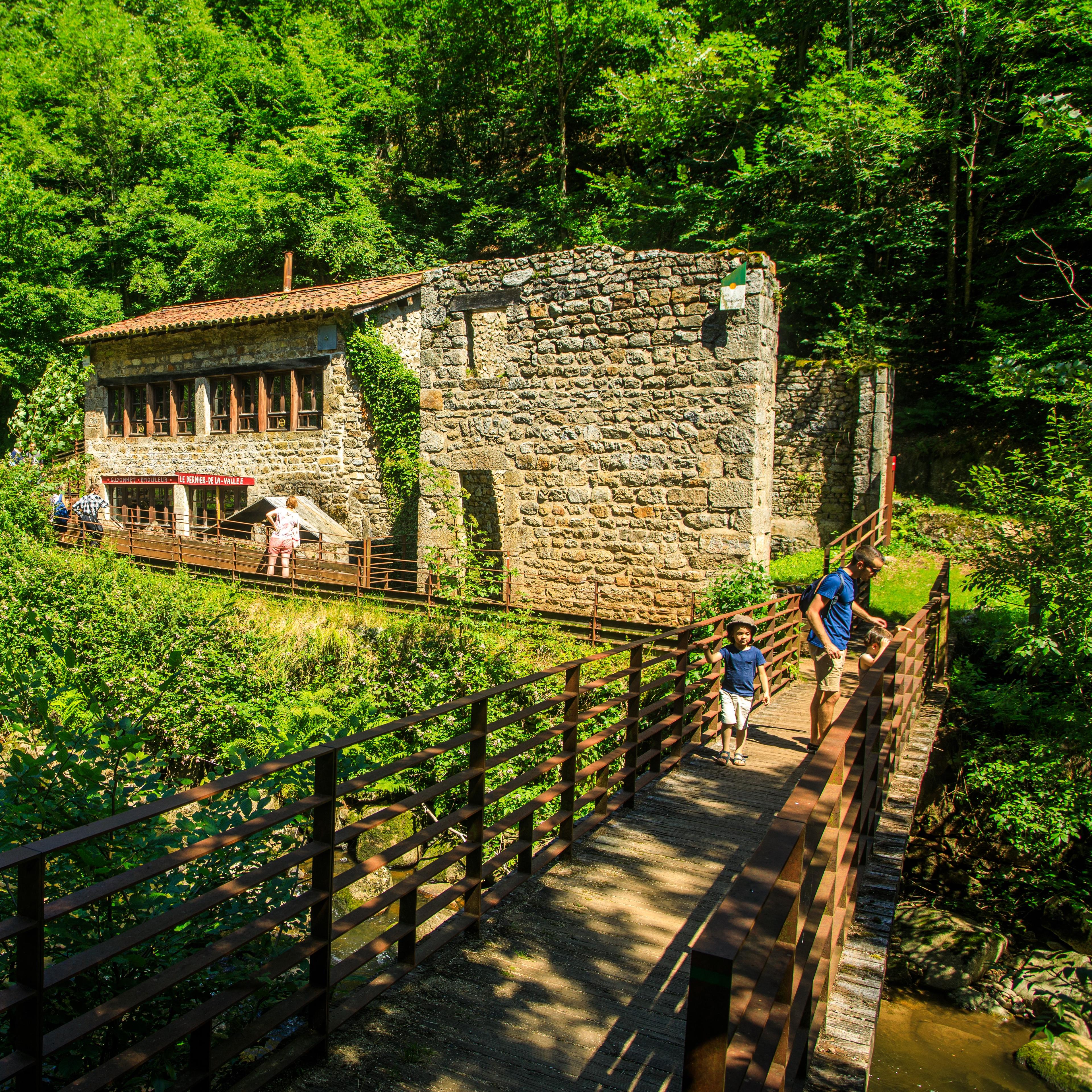
3 - At the crossroads with the D320, take the grassy track going down to the left into the valley (beeches and oaks). At the stream, ignore the path that climbs opposite and go left (ruins with what seems to be the mechanism of a wheel). At the junction take the path that climbs on the left (in the gap in the trees, view over St-Rémy and the Durolle). At the D320, follow it to the right to the hamlet of Les Granges.
Other hikes in the area
 On foot
 On foot
 On foot