
The Sainte-Agathe path
Start: Thiers
Sainte-Agathe, a Sicilian legend rooted in the Forez
This loop takes you from Thiers to Lac d'Aubusson, then to Olliergues on the banks of the Dore, before climbing back up to La Renaudie through meadows and beechwood. The path winds from village to hamlet, crosses the Aiguebonne state forest and heads back down towards the village of Sainte-Agathe, whose church is rich in heritage linked to the saint. Then the path runs alongside Château de Vaulx and finishes through the spectacular Rouets valley along the Durolle, back to Thiers, the capital of cutlery.
- Distance
- 94.7 km
- Elevation gain
- +3083 m
- Elevation loss
- -3085 m
- Duration
- 120 h
Route on the map
Base map © OpenTopoMap (CC-BY-SA): route licensed under ODbL via Données : Parc Naturel Régional Livradois-Forez · rando.parc-livradois-forez.org — sous licence ODbL.
In pictures

Other hikes in the area
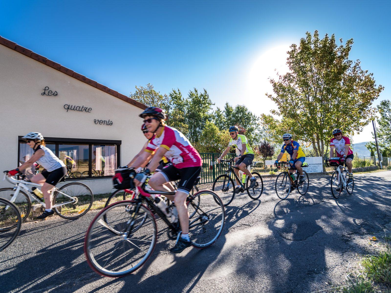 Cycling
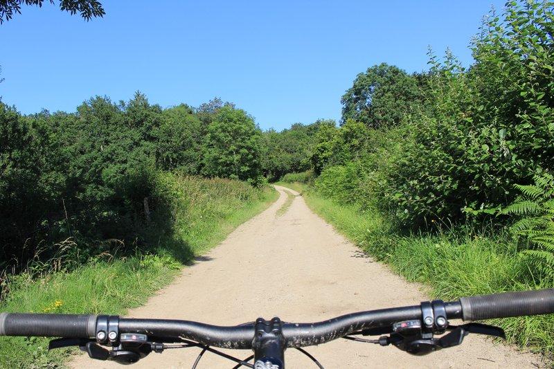 Mountain biking
Woodland and granite (circuit no. 17)
Start: Centre nature des 4 vents (Aubusson d'Auvergne)
- 27 km
- +684 m
- 3 h
 On foot