
Montlune
Start: Bourg d'Arconsat
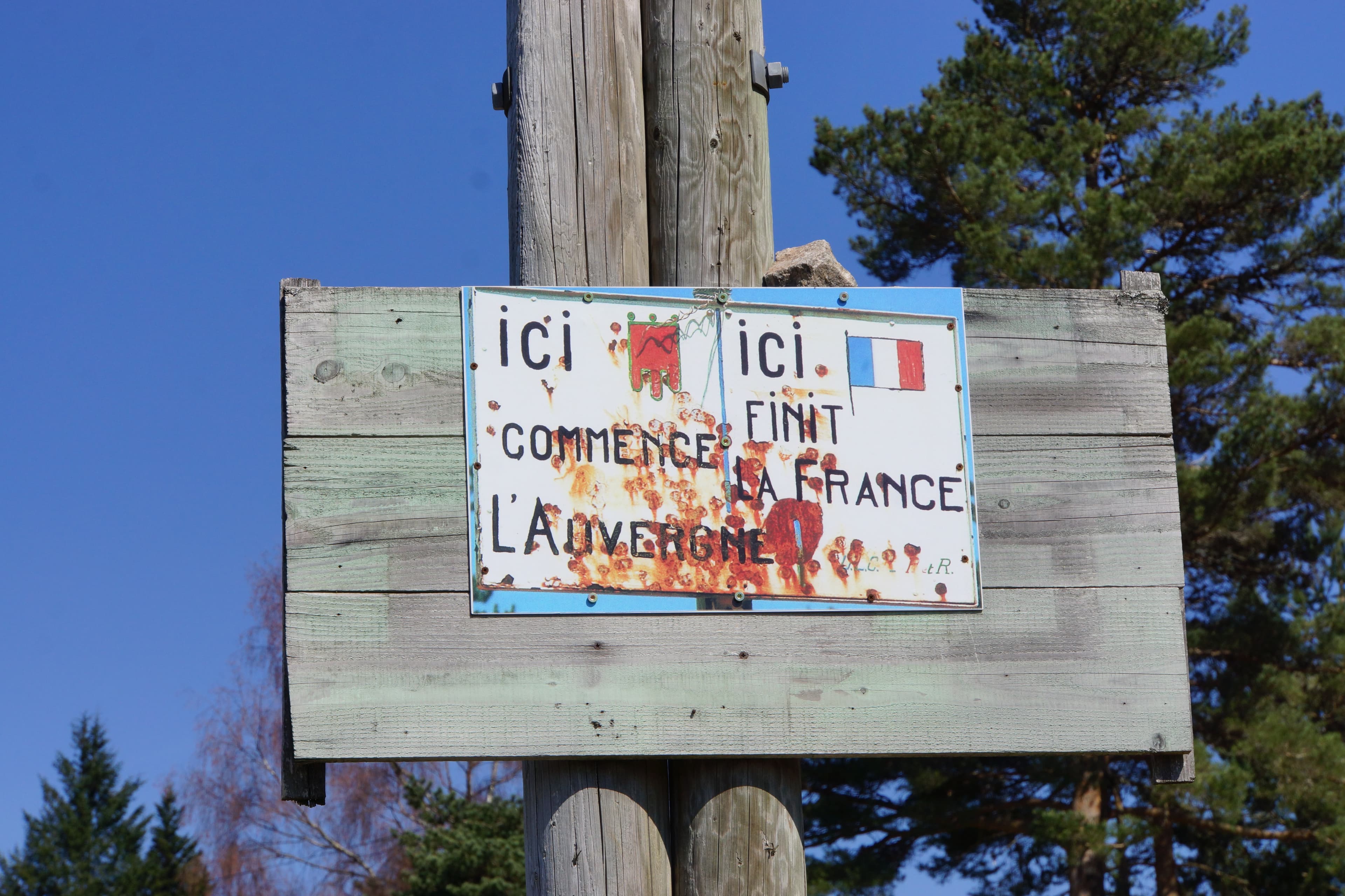
Leaving Arconsat above the Durolle valley, the path climbs to the Col Saint-Thomas, where “France ends” and “Auvergne begins”.
- Distance
- 11.6 km
- Elevation gain
- +495 m
- Elevation loss
- -492 m
- Duration
- 3 h 30 min
Route on the map
Base map © OpenTopoMap (CC-BY-SA): route licensed under ODbL via Données : Parc Naturel Régional Livradois-Forez · rando.parc-livradois-forez.org — sous licence ODbL.
The feel of the route
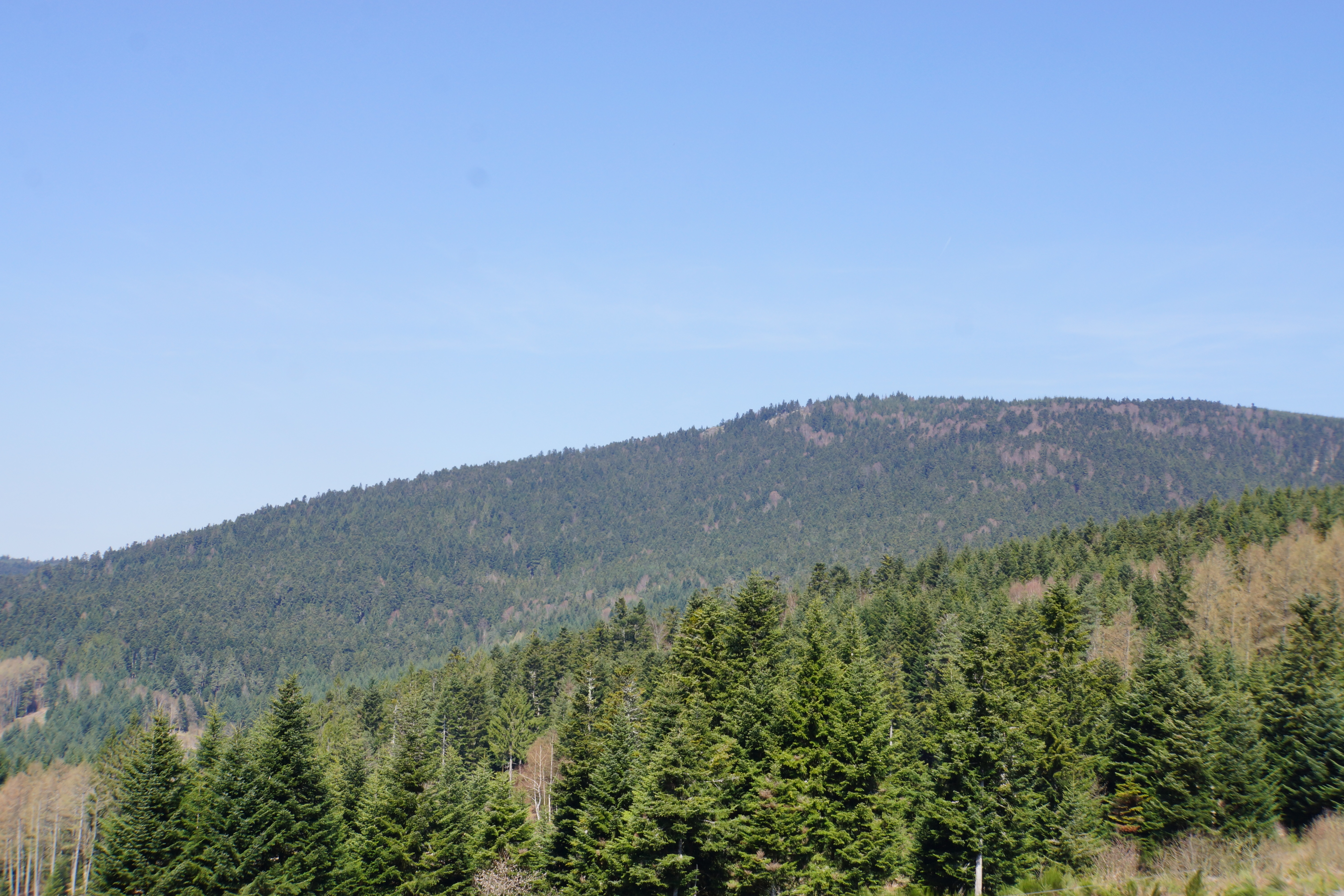
It climbs up to the panorama at Montlune rock before racing down through the forest kingdom of the crossbill (bec-croisé des sapins).
The route in detail
Start: From the village of Arconsat, at the junction between the D64 and the D86 (car park below), take the D64 towards Croix Saint-Martin. Continue along the tarmac road to the D324.
1 Just before the D324, take an uphill road on the left. Keep to the main track for 500 m. At the next 2 forks, take the tracks on the right and continue to the village of “Le Bost”. Go through the village and continue along the tarmac road. Turn off onto the first road on the left and, just after the house, take a track climbing slightly to the left. Keep to the main track to the Col Saint-Thomas.
2 At the col, head for “the refuge” on the left. From there, continue climbing on the main track. At the fork, after 500 m, take the track on the right and continue climbing, following the main track. Before reaching the Montlune plateau, at the fork, take the track that climbs on the left to the crossroads of forest tracks. Go there and back to Montlune rock by taking the track straight ahead (view of the Monts du Forez, the Limagne plain, the Chaîne des Puys, the Massif du Sancy, the Mont-Dore).
3 Turn onto the wide track on the right (view of the Laprugne wind turbines). Follow it to the crossing of 4 tracks. Take the track on the left that makes a hairpin.
4 Continue going down straight ahead on this main track. At the crossing of 5 tracks, take the second track on the right, then pass the Rocher du Coq. Continue going down the main track to the carrefour de la Vierge (Virgin crossroads).
5 Take the track that goes down on the left to the Arconsat cemetery. Take the road on the right and go down by the first tarmac road on the left. After 50 m, take a grassy track going down on the right. At the tarmac road, turn left to pass the church and return to the car park.
In pictures


Other hikes in the area
 Mountain biking
 Mountain biking
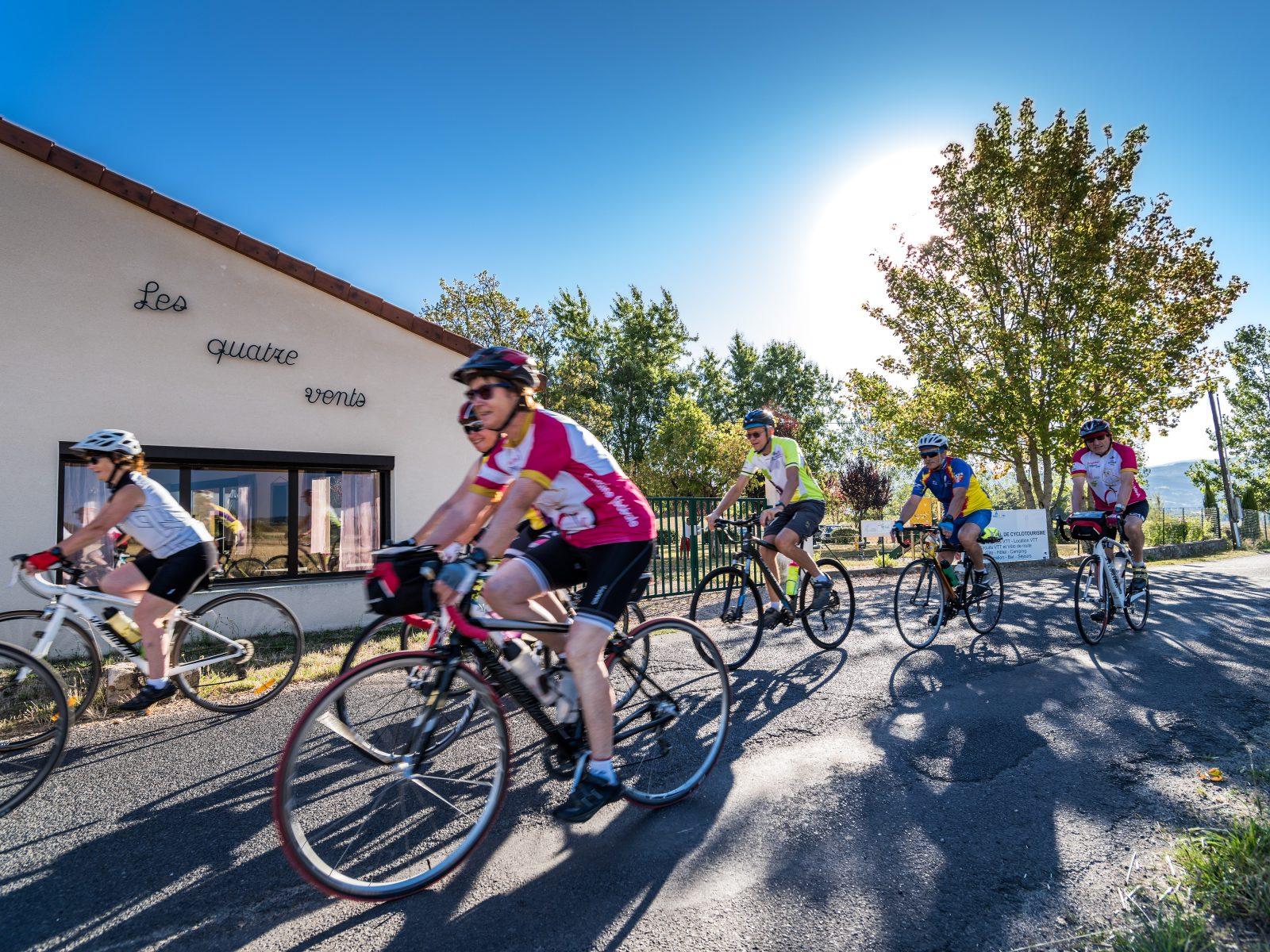 Cycling
The cols of the Bois Noirs (road circuit no. 11)
Start: Centre nature les 4 Vents
- 97 km
- +1969 m
- 6 h 30 min