
Puy d'Oscot
Start: Parking de la mairie
- Distance
- 15.3 km
- Elevation gain
- +470 m
- Elevation loss
- -470 m
- Duration
- 4 h 30 min
Route on the map
Base map © OpenTopoMap (CC-BY-SA): route licensed under ODbL via Données : Parc Naturel Régional Livradois-Forez · rando.parc-livradois-forez.org — sous licence ODbL.
The route in detail
Start from the car park of the town hall in Celles-sur-Durolle and take the tarmac road to the left. Take the first road on the right, which passes the school, before continuing on the main road that bends left. At the T-junction, take the grassy path that goes down opposite, just after the electricity transformer. At a cross, stay on the same path; cross the stream and continue across meadows (viewpoint over the village of Saint-Rémy-sur-Durolle).
(1) At the junction, stay on the same path, which bears slightly left. At the cross, follow the road opposite for 20 m before taking the path on the left. At the crossroads, carry straight on to l'Obstancie. In the hamlet, at the cross, climb the small road to the right.
(2) 20 m further on, cross the D7E and take the path opposite that leaves to the left. Continue on the first path on the left. At the isolated house, take the path on the right and 50 m further on, turn onto the path on the left that goes down. At the T-junction, turn left and climb to la Vacherie.
(3) At the entrance to the hamlet, at the fork, continue slightly right on the same road. Then follow this road (viewpoint over the Chaîne des Puys). After 500 m leave the road and take a path on the left. Follow the edge of the meadow, go past the ruined house and carry straight on. Go round the two ponds to join a wider path.
(4) Take it to the right then turn onto the first path on the left towards the Château de Vaulx. Carry straight on to the road, which you follow to rejoin the D7. Take the road opposite towards Rochemulet. Leave this road to take the second path suitable for vehicles on the left (just after a left-hand bend) to climb to the Puy d'Oscot. Follow the main path to a timber loading area.
(5) Continue on the path that leaves to the right. At the fork, take the path on the left. At the T-junction, turn onto the path on the left. At the next crossroads, take the path opposite that goes down. 50 m before the tarmac road, take the path on the left to reach the crossroads at the Croix des Olmes.
(6) Follow the D102 to the left for 10 m then the D321 to the right, turn immediately left to take the path climbing on the left across meadows to enter the wood. Always keep to the main path leaving opposite. At the next fork, turn right to reach a small tarmac road.
(7) Follow it to the right. Cross the stream and, 10 m further on, take the path opposite that enters the woods. At the next junction with a cross, carry straight on to follow the sports complex on the right until you rejoin the D7. Cross it to head towards the village centre. Carry straight on to get back to the town hall car park in Celles-sur-Durolle.
In pictures


Other hikes in the area
 Mountain biking
 On foot
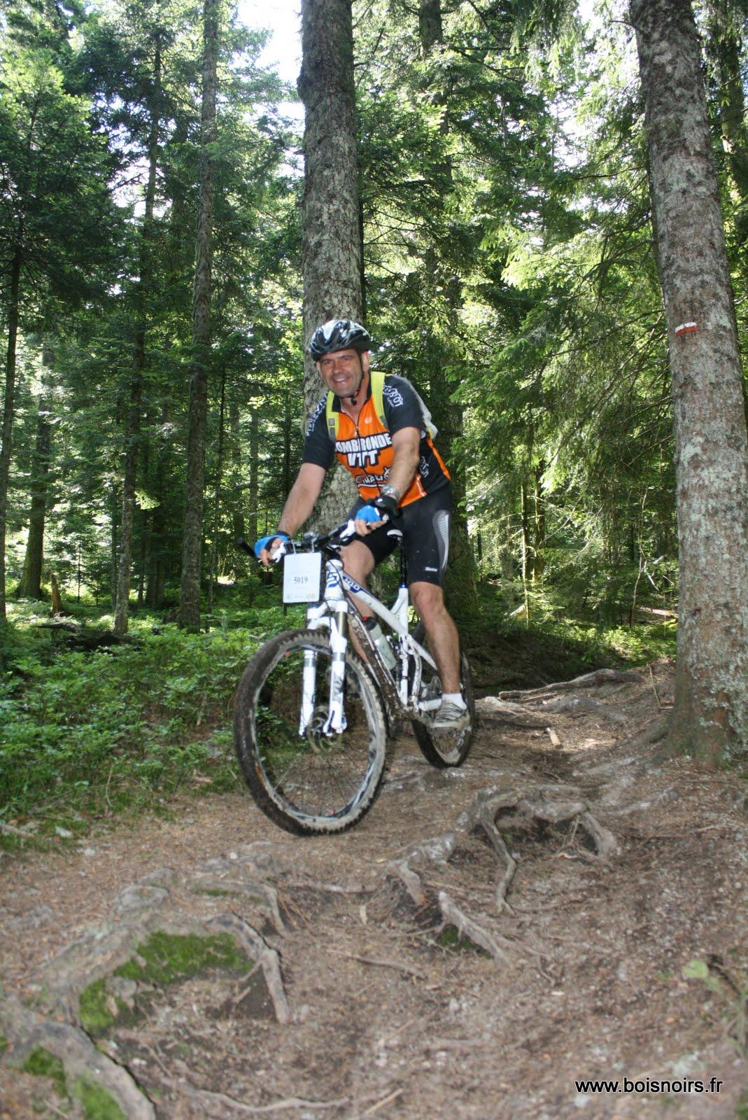 Mountain biking