
3 - Along the Allier and the Senouire
Start: Office de tourisme de Brioude Sud Auvergne
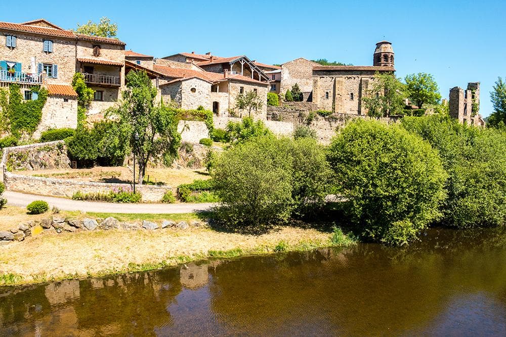
This route will let you discover the gorges of the Allier river as far as the village of Lavoûte-Chilhac, recently listed among the Plus Beaux Villages de France (the Most Beautiful Villages of France), passing through the pretty villages of Vieille-Brioude and Villeneuve d'Allier. After a good effort to reach Paulhaguet, you will follow the Sénouire river, passing close to the medieval château of Domeyrat and the commune of Lavaudieu, also listed among the Plus Beaux Villages de France
- Distance
- 57.5 km
- Elevation gain
- +819 m
- Elevation loss
- -824 m
- Duration
- 3 h
Route on the map
Base map © OpenTopoMap (CC-BY-SA): route licensed under ETALAB-2.0 via Données : Comité Départemental Randonnée Pédestre Haute-Loire · FFRandonnée · sportsnature.hauteloire.fr — sous licence ETALAB 2.0.
The route in detail
Set off from the car park and go through Brioude. Turn left at the lights, towards Vieille-Brioude.
In Vieille-Brioude, take the bridge over the Allier then turn right onto the departmental road.
Go through the villages of Champlong and Tapon, then go down to the right to take the ford (do not attempt it if it is submerged).
Follow the D585 to the left to reach Villeneuve d'Allier. Continue to Lavoûte-Chilhac.
Turn left towards Chilhac and cross the bridge. Take the D4 towards La Chomette.
Leave the D4 for the D413 towards Salzuit, then at Le Marcet turn right onto the RN 102 for 80 m, then turn left towards Paulhaguet.
Turn left onto the D56.
At the stop sign, turn left towards Lavaudieu. Follow the Sénouire valley as far as the village of Fontannes. Turn left at the stop sign to return to Brioude.
In pictures
Other hikes in the area
 Cycling
 Cycling
 Cycling