
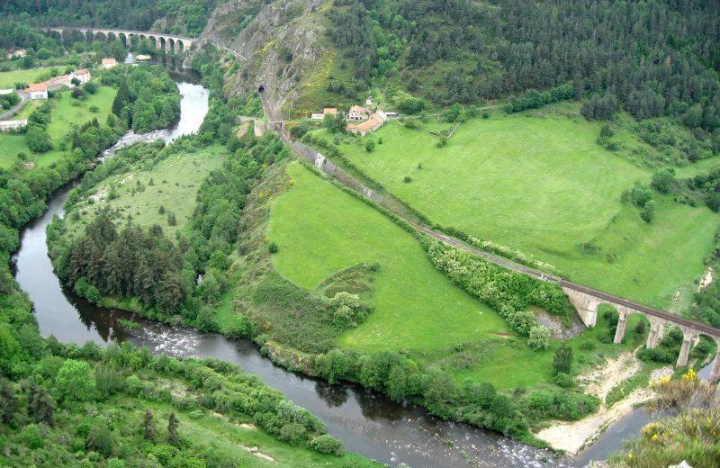
171 - Panorama over the Allier (waymark no. 20)
Start: Saint-Christophe d'Allier
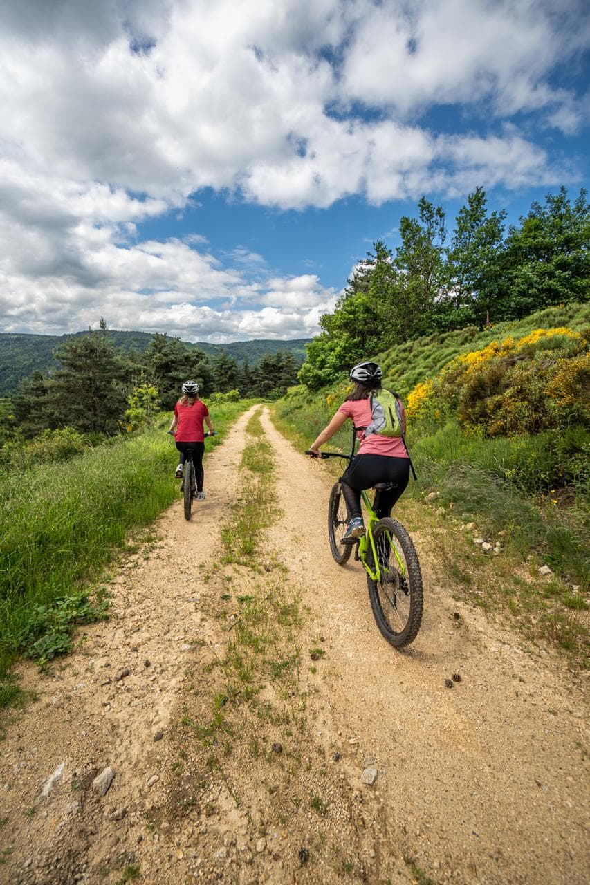
On the borders of Haute-Loire and Lozère, set off to discover the Allier gorges on a short circuit with a lot of climbing, so it is aimed at experienced mountain bikers.
- Distance
- 11.2 km
- Elevation gain
- +381 m
- Elevation loss
- -381 m
- Duration
- 1 h
Route on the map
Base map © OpenTopoMap (CC-BY-SA): route licensed under ETALAB-2.0 via Données : Comité Départemental Randonnée Pédestre Haute-Loire · FFRandonnée · sportsnature.hauteloire.fr — sous licence ETALAB 2.0.
The feel of the route
The birds of prey of the gorges: The Allier gorges are home to many species, which reveal themselves to the observer across complementary habitats: forests, heathland and rocky sites. Many species of birds of prey can be glimpsed here. Unlike on the plateau, you will see the hen harrier, whiter than its cousin, the black kite, the hobby, and above all the short-toed snake eagle, the snake-eating eagle, which frequents the sunny sites and stony heathland of the gorges to take several hundred reptiles each summer. Its cousin the golden eagle, long persecuted like all birds of prey, sadly disappeared from the Rocher de l'Aigle at Vabres in 1958; the species has not been present in Auvergne since that date.
Other hikes in the area
 Mountain biking
 Cycling
 Mountain biking