
Lac du Mont de Bélier
Start: Eglise Saint-Etienne, Le Bourg
Starting from the village of Saint-Étienne-de-Chomeil, come and discover the little-known charms of the Artense. Typical of this granite region of the Park, old paths lined with dry-stone walls will lead you to the forêt d’Algère, with its unmatched wealth of flora.
- Distance
- 14.4 km
- Elevation gain
- +456 m
- Elevation loss
- -459 m
- Duration
- 4 h
Route on the map
Base map © OpenTopoMap (CC-BY-SA): route licensed under ETALAB-2.0 via PNR des Volcans d'Auvergne.
The feel of the route
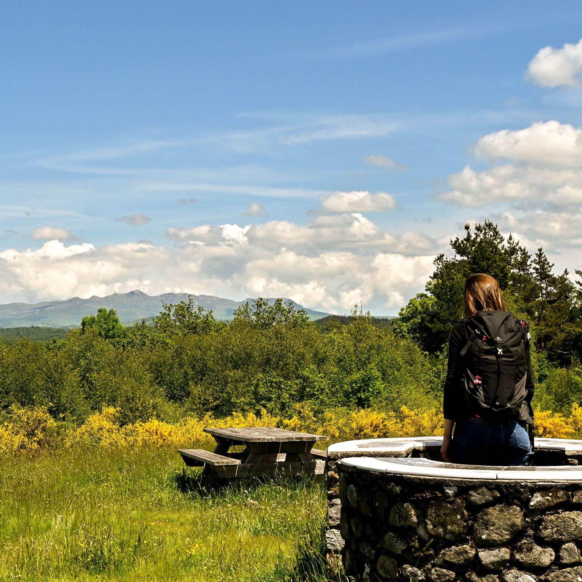
After a fine view of the Gorges de la Rhue, the lac du Mont de Bélier will open up before you. Tucked between the Monts du Cantal and the Massif du Sancy, this lake with a hint of Scotland about it is well worth the detour!
The route in detail
From the church, take the street on the left that climbs and becomes a path, to reach the Clavières road.
Follow this road to the right. At the first fork, continue left and leave the road on the right at the third turning. This path rejoins the road, which you follow to the right before reaching Cachebeurre by a dirt track, near a transformer, in a bend.
Cross Cachebeurre and reach the bread oven. Take the path climbing on the left, then turn left again at the high-voltage line. Go back up towards the road and straight away take the path that climbs on the right. At the next fork, follow the low stone wall towards Le Mazou.
At Le Mazou, turn left then right towards Le Pré du Lac.
Follow the road then the path as far as the wood and then, on the left, the path goes down towards the lake. Go round it on the right as far as a road that overlooks the lake. Follow it then go down to the shore by a path lined with stones. Turn right towards Mont de Bélier.
Cross the hamlet and turn right towards the forêt d’Algère.
On the left, reach the ruisseau de la Scie (Scie stream) by the forest track.
Cross the Scie then reach the road, and leave it for a dirt track 150 metres on the left. Go past the calvary (wayside cross).
Continue on the road towards Clavières then Ridoux and take the same path as at the start.
Other hikes in the area
 On foot
 On foot
 On foot