
From the Vauziron to La Chasserelle
Start: Châteldon
- Distance
- 8.6 km
- Elevation gain
- +293 m
- Elevation loss
- -293 m
- Duration
- 2 h 30 min
Route on the map
Base map © OpenTopoMap (CC-BY-SA): route licensed under ODbL via Données : Parc Naturel Régional Livradois-Forez · rando.parc-livradois-forez.org — sous licence ODbL.
The feel of the route
The path leaves medieval Châteldon, huddled beneath its château, for a cheerful, tamed landscape planted with fruit trees, flowering shrubs and conifers, before dropping into the wilder gorges of the Vauziron.
The route in detail
Start in the square of Châteldon. Follow the D113 for 200 m, towards Rongère-Montagne. On leaving Châteldon, follow a path on the left alongside the château park. After a steep climb, you reach the place called Chez Gironde (view over the Monts du Livradois, the Limagne, the Monts Dore and the Chaîne des Puys).
(1) At the crossroads, in the hamlet, carry straight on for 500 m (view over the Monts du Livradois, the Limagne, the Monts Dore and the Chaîne des Puys). Take the left at the fork. Continue along the path to La Croix-Vernet, then carry on along the tarmac road that passes the place called Chez-Tout-Seul.
(2) Bear left onto a dirt track. You skirt the plateau before passing the farms of La Grand'Garde (view over the Vauziron valley and the Bois-Noirs) and Brafumel.
(3) Leave the path; then turn right towards Chaussenoire to go straight down through the broadleaf trees (view over the Monts du Livradois, the Limagne, the Monts Dore and the Chaîne des Puys). Turn left at the next junction and continue down (view over the Vauziron valley and the Bois-Noirs). Go down by the D 63 (mineral springs), to the left as far as the village of Châteldon.
In pictures


Other hikes in the area
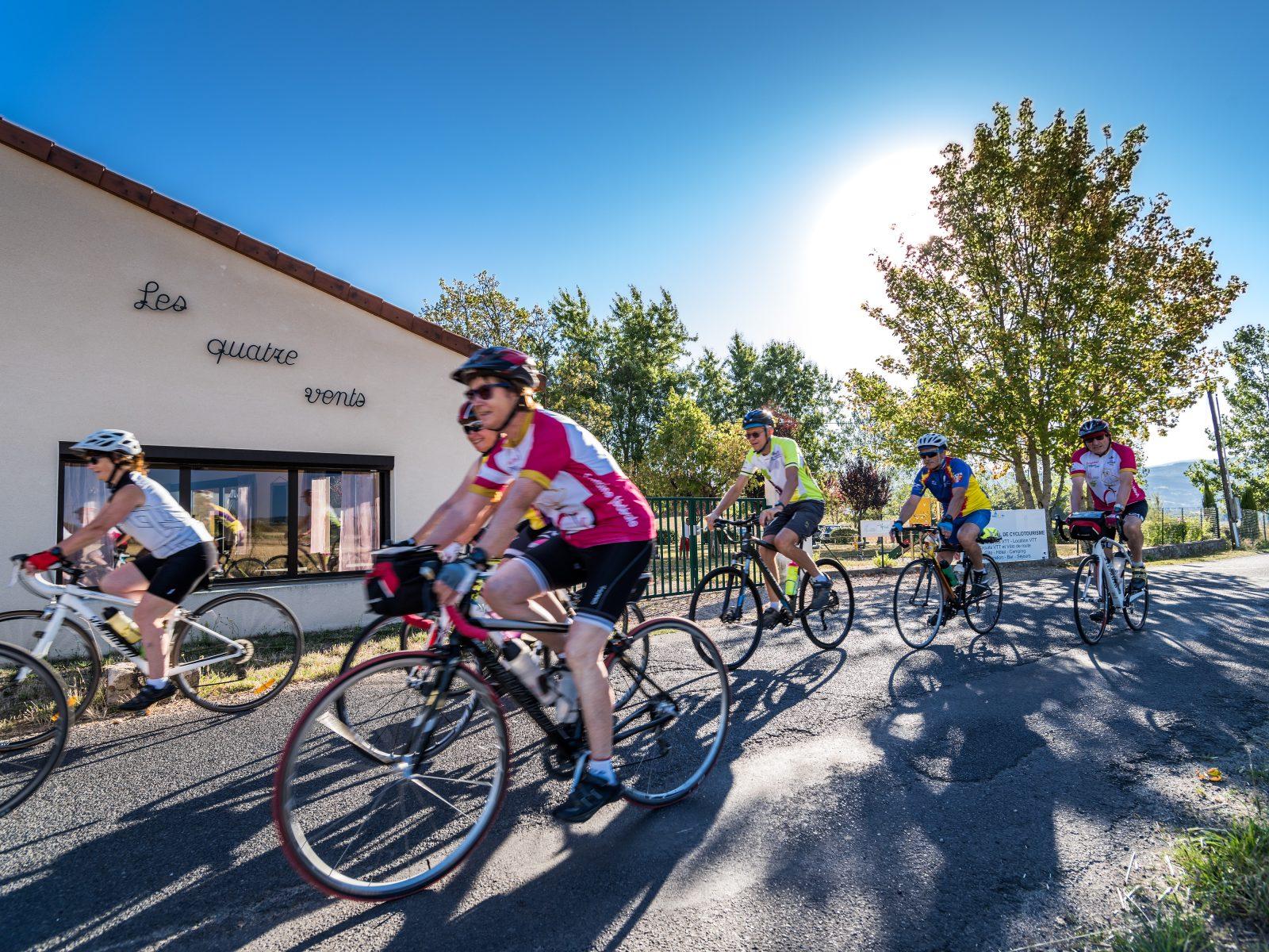 Cycling
Vichy via the foothills of the Allier (road circuit no. 12)
Start: Centre nature les 4 Vents
- 134 km
- +1652 m
- 8 h 30 min
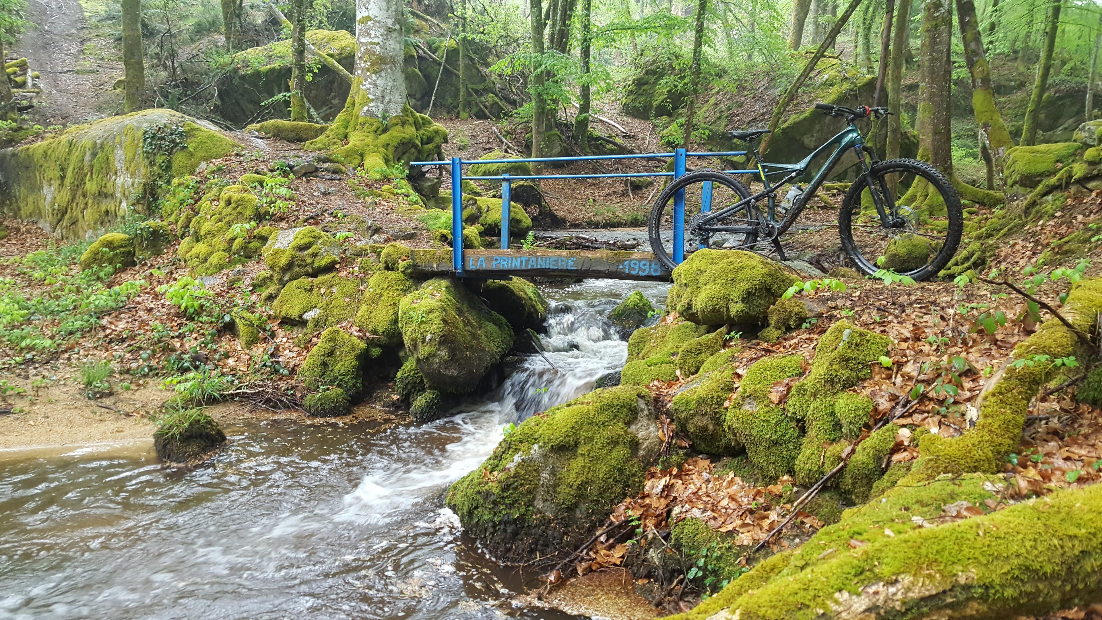 Mountain biking
 Mountain biking