
Col de Peyra Taillade
Start: Prades
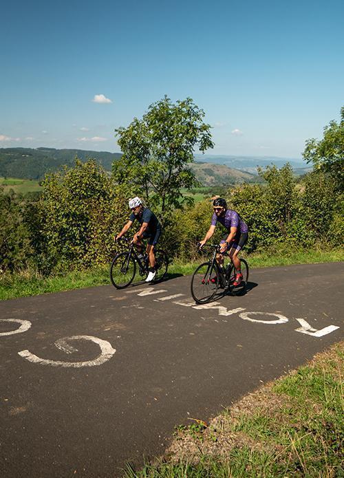
Fancy testing yourself on the legendary mountain passes used by the Tour de France? Relive the experience on the Col de Peyra Taillade, in the Allier gorges.
- Distance
- 8.8 km
- Elevation gain
- +655 m
- Elevation loss
- -26 m
- Duration
- 1 h
Route on the map
Base map © OpenTopoMap (CC-BY-SA): route licensed under ETALAB-2.0 via Données : Comité Départemental Randonnée Pédestre Haute-Loire · FFRandonnée · sportsnature.hauteloire.fr — sous licence ETALAB 2.0.
The route in detail
You leave the banks of the Allier after crossing the Prades bridge. The first four kilometres give you a good warm-up. There is nothing insurmountable about the climb to the col: 8.3 km at an average of 7.4%. But that profile hides a good kilometre at close to 15%, the Mur de Saint-Bérain (Saint-Bérain Wall). Then you finish with your head in the clouds, crossing the Col de Peyra Taillade at 1,172 m.
Follow route no. 10 “La Pierre Chany”. “Tour de France” waymarking from Prades to the Col de Peyra Taillade.
Other hikes in the area
 Cycling
 Cycling
 Other activity