
CyclingExpertBoucle
From the Hautes-Chaumes to the Livradois (road circuit no. 8)
Start: Centre nature les 4 Vents
- Distance
- 141 km
- Elevation gain
- +2810 m
- Elevation loss
- -2810 m
- Duration
- 9 h
Route on the map
Base map © OpenTopoMap (CC-BY-SA): route licensed under ODbL via Données : Parc Naturel Régional Livradois-Forez · rando.parc-livradois-forez.org — sous licence ODbL.
The feel of the route
The circuit takes you up to the Hautes-Chaumes by the Col des Supeyres. These are summer pasture lands where the women took the cows up in the good season and made the famous Fourme d'Ambert cheese in their dwellings grouped in "jasseries" (mountain herders' huts). You then reach the small town of Saint-Anthème, tucked into the heart of the Ance valley, then Ambert and its famous round town hall, before tackling the slopes of the Livradois.
Other hikes in the area
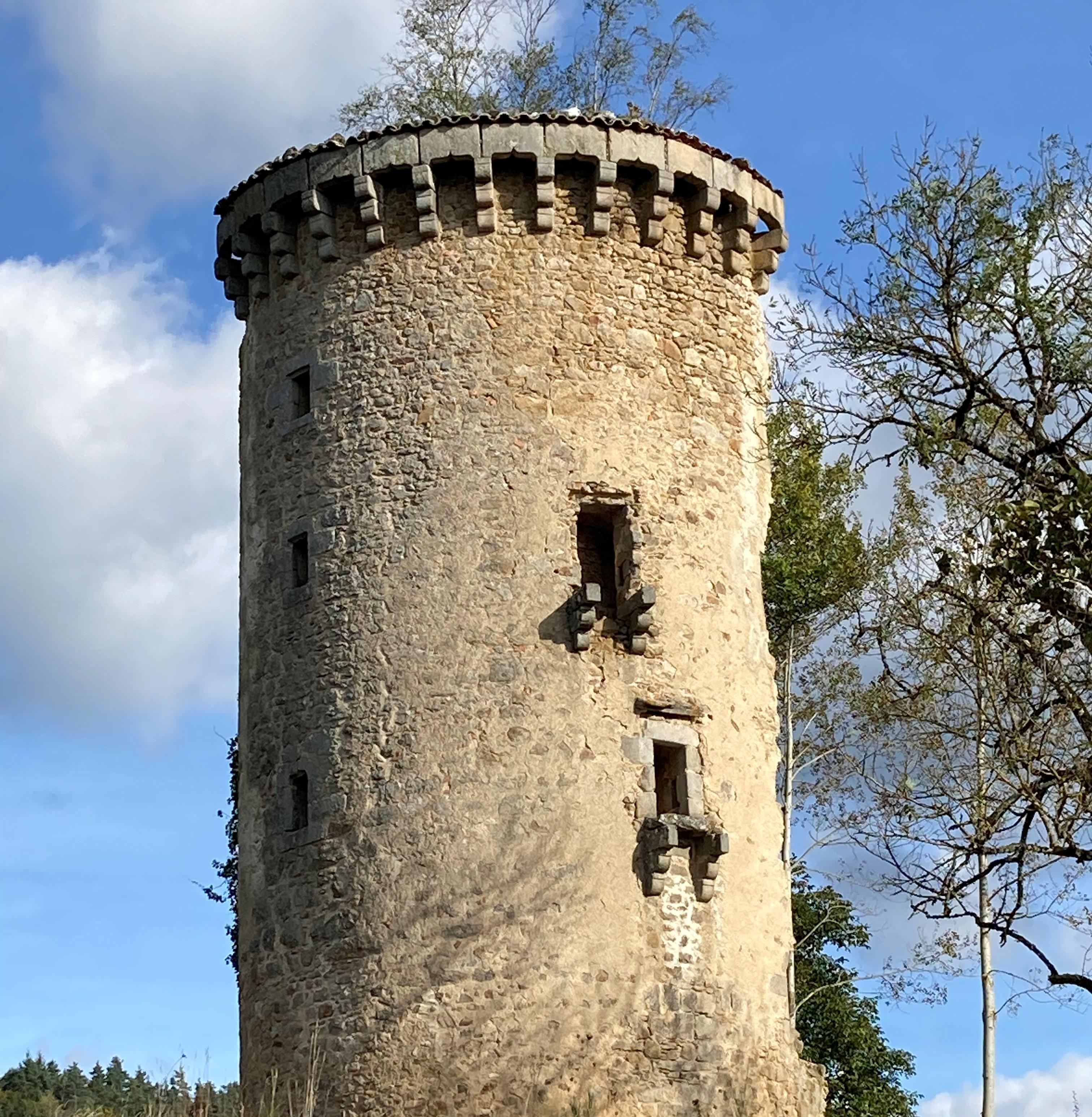 On foot
Easy
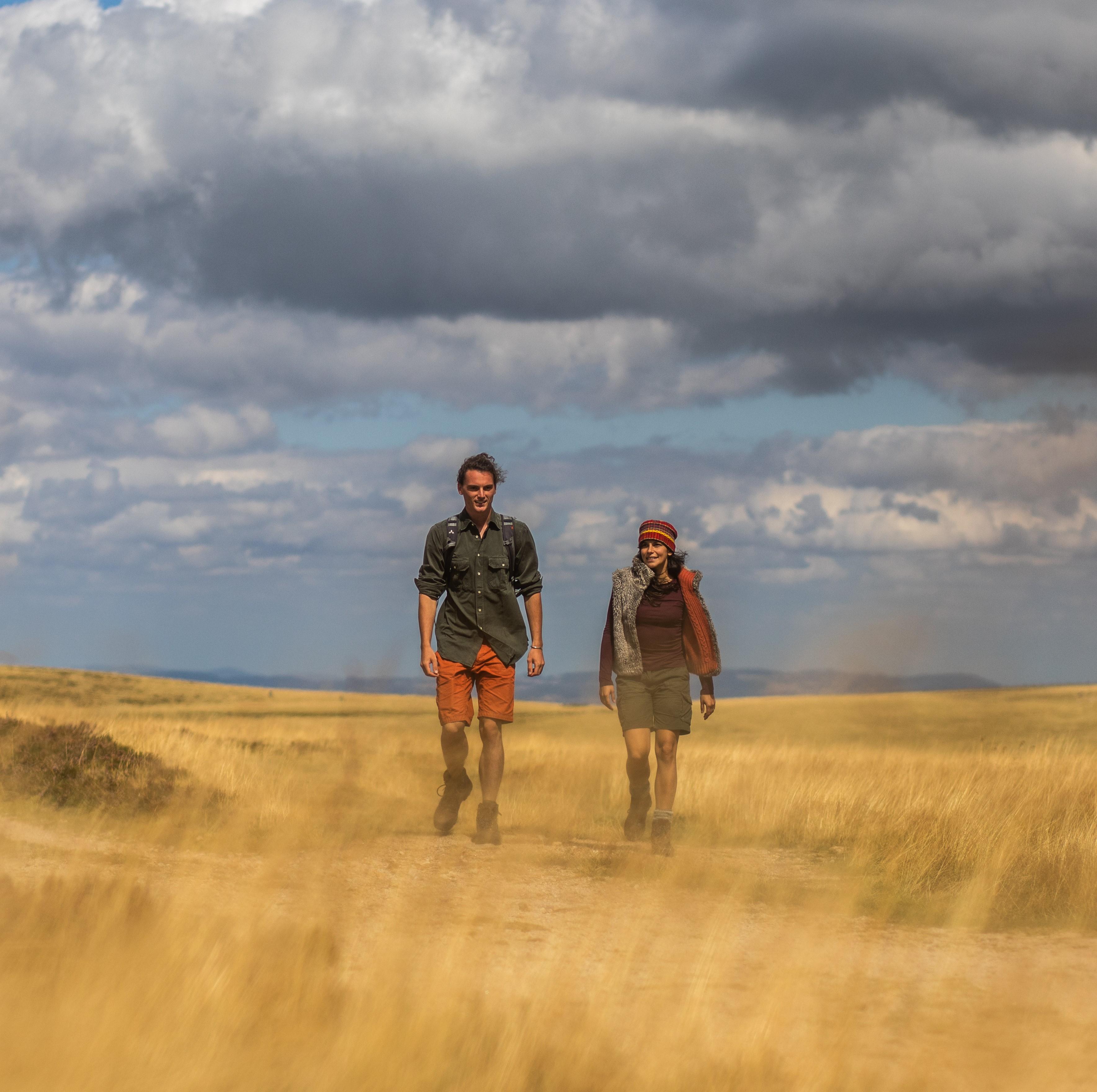 On foot
Moderate
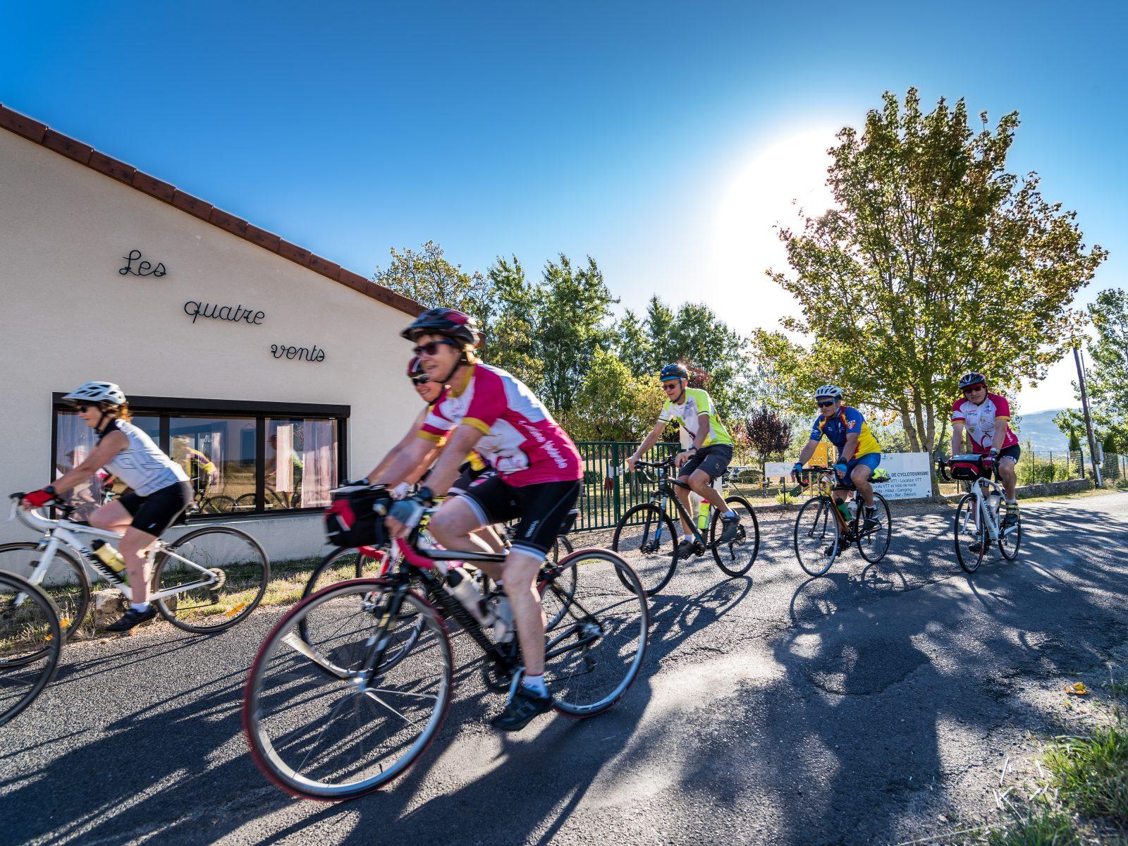 Cycling
Hard