
Between the Comté and the Pays d'Issoire (road circuit no. 17)
Start: Centre nature les 4 Vents
- Distance
- 126 km
- Elevation gain
- +1764 m
- Elevation loss
- -1764 m
- Duration
- 8 h
Route on the map
Base map © OpenTopoMap (CC-BY-SA): route licensed under ODbL via Données : Parc Naturel Régional Livradois-Forez · rando.parc-livradois-forez.org — sous licence ODbL.
The feel of the route
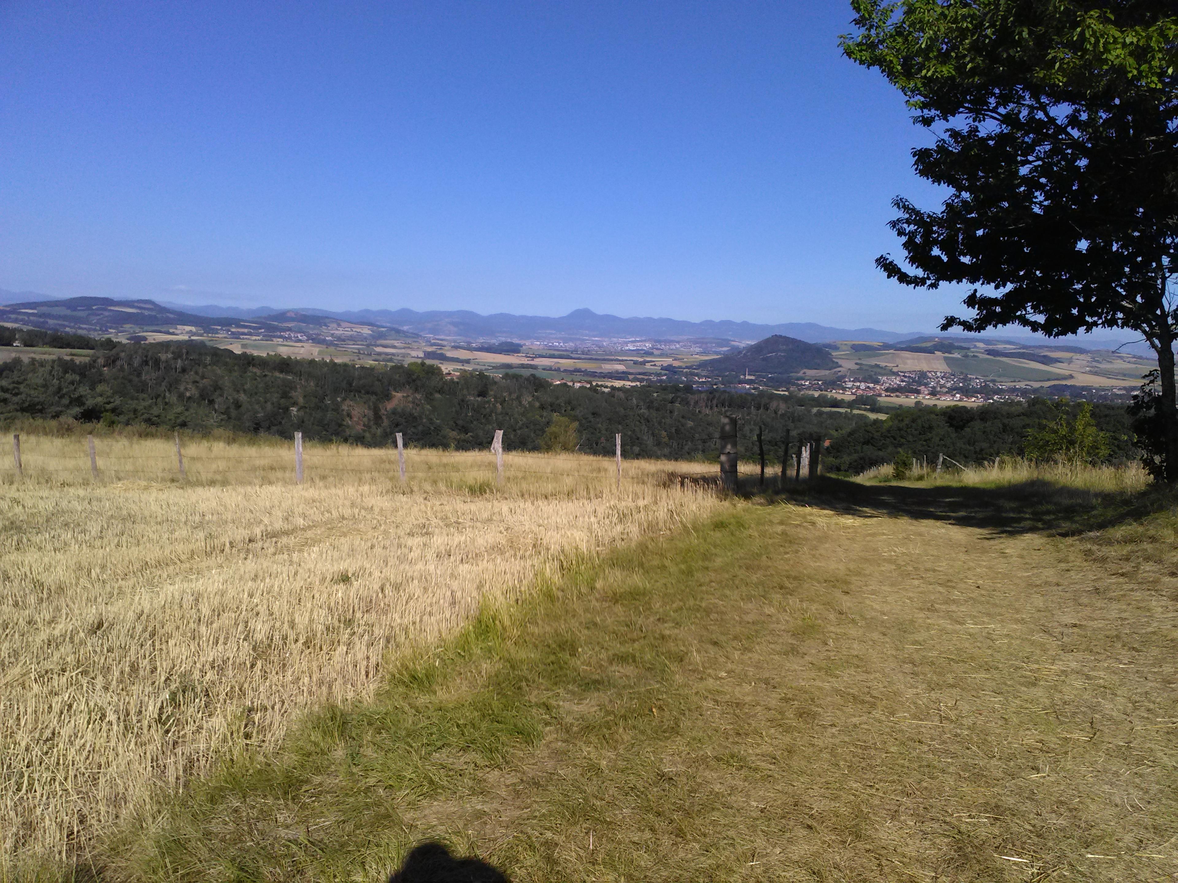
The Puy-de-Dôme département offers very varied landscapes. On this circuit you briefly leave the Livradois to take in a fine panorama over the Comté, the area around Vic-le-Comte, before climbing back up to Yronde-et-Buron, from where you look down over the Allier valley in the foreground, with the Monts Dore behind. Later you can visit Issoire, a town with a very interesting heritage, notably one of the finest examples of Auvergne Romanesque art, the abbey church of St-Austremoine. The return follows roads that are not very steep, although the last climb from Courpière is still a hard stretch!
Other hikes in the area
 On foot
 On foot
 On foot