
Notre Dame de Roche
Start: Esplanade de la mairie, Saint-Julien-de-Coppel
On either side of the Col de Potey, Saint-Julien-de-Coppel and Laps lie on the border between the Billomois and the Comté. Since Antiquity, people have left many traces here, to be discovered from hamlet to hamlet.
- Distance
- 14.3 km
- Elevation gain
- +439 m
- Elevation loss
- -442 m
- Duration
- 3 h 45 min
Route on the map
Base map © OpenTopoMap (CC-BY-SA): route licensed under ODbL via Données : Parc Naturel Régional Livradois-Forez · rando.parc-livradois-forez.org — sous licence ODbL.
The route in detail
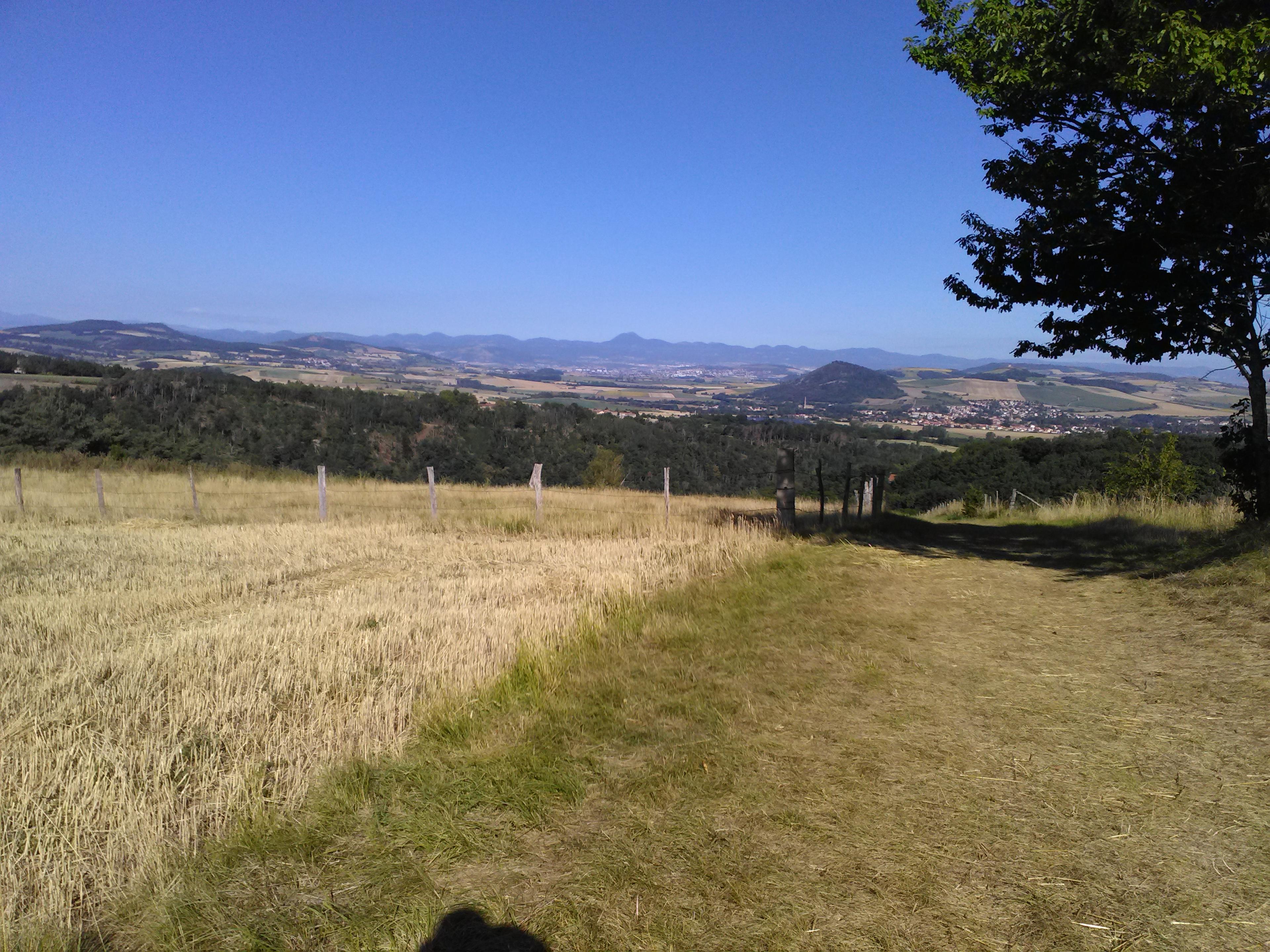
Start from the esplanade in front of the town hall, take the D 310 towards Sallèdes. At the stone cross of Jarliat, take the dirt track that rises on the left (ignore the road that goes off to Jarliat). At the little road (view of St-Julien-de-Coppel, Clermont-Ferrand and the Chaîne des Puys), climb straight ahead; at another road, turn right and go through the village of Roche.
(1) In the village, at the drinking trough, take a narrow path that climbs immediately on the right. At the water tank, at the stone cross, turn right onto a road that climbs. At another stone cross, immediately take the Stations of the Cross path on the right to climb to the Virgin (three orientation tables with panoramic view). Go past it and go down the steps opposite to skirt the chapel. Return to the stone cross and go back down to the right of the tank. Leave the village by the track opposite, running alongside farm sheds.
(2) At the fork, take the grassy track furthest to the right, pass under the foliage and continue through woodland to the étang de la grenouille (frog pond). At the pond (private), follow the main track. At the end, turn right and continue to the road, turn left and go through the hamlet of Pointilloux.
(3) Follow the D 310 to the right for 200 m and take the first track on the left. 50 m further on, turn left again (view of the two Turlurons). Cross the farmyard of Lide. At the tarmac, (shortcut straight ahead to St-Julien-de-Coppel) turn left and take the track rising straight ahead. At the end of the fence, at the fork, turn right. At the junction with a track on the right, continue climbing straight ahead; do the same 500 m further on.
(4) At the top of the hill, at the junction, turn right (view of the Billomois) and keep to the main track. At the crossing, go down to the right. At the clearing, 50 m before the D 301 (shortcut to point 7), turn onto a faint track on the left climbing through woodland. Always keep to this track that winds through the woods, then rejoin the D 117 by a fine sunken lane bordered by low walls on the right (view of the Sancy massif).
(5) Follow it to the right as far as the Col de Potey. Cross the D 229 (watch out, fast traffic) to follow the D 117 opposite. After 100 m, follow the first track on the right (towards Calais) (view of the Château de Mauzun, Montmorin and the Monts du Forez). Skirt the Calais estate and continue on the track straight ahead to the edge of the forest; turn left (view of the Chaîne des Puys on the left and Clermont-Ferrand) and go down to Contournat. Turn right and go down the street to the large couderc (village green), pass above the fountain and wash house and continue along the street opposite (winegrowers' houses).
(6) Climb the lane on the right (rue Benoît Flaget). Skirt the church then, 10 m after, at the stone cross, turn left onto the road (view of the châteaux of Coppel, Montmorin and Mauzun). Continue on the tarmac to Rongheat. Turn left (restored fountain on the right) then, at the stone cross, right, and continue on the track straight ahead to the D 229. Cross it (watch out, fast traffic) and take the track opposite bordered by walnut trees to La Guesle.
(7) Then turn left and continue on the road (view of Notre-Dame-de-Roche, and the Billomois) to the D 301; turn left straight away to skirt the stone cross and continue to the road. Then turn left and go through La Boissière; at the cross, go down the street on the right to reach St-Julien-de-Coppel. In the village, turn right and, at the church, right again to the finish.
In pictures

Other hikes in the area
 On foot
 On foot
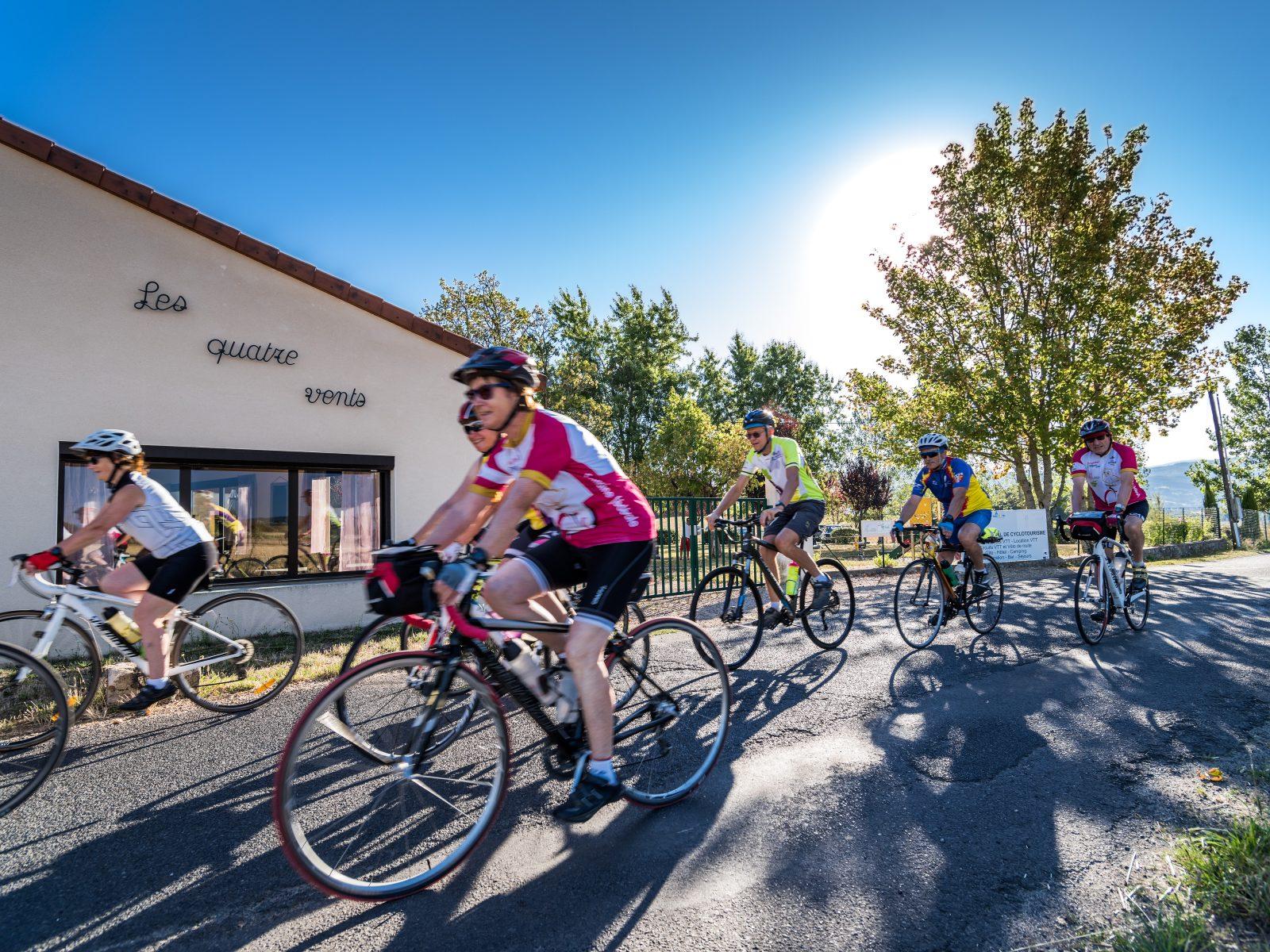 Cycling
Between the Comté and the Pays d'Issoire (road circuit no. 17)
Start: Centre nature les 4 Vents
- 126 km
- +1764 m
- 8 h