
The Pont de la Marion
Start: Olmet
- Distance
- 4.9 km
- Elevation gain
- +157 m
- Elevation loss
- -149 m
- Duration
- 1 h 30 min
Route on the map
Base map © OpenTopoMap (CC-BY-SA): route licensed under ODbL via Données : Parc Naturel Régional Livradois-Forez · rando.parc-livradois-forez.org — sous licence ODbL.
The route in detail
Start: village square of Olmet. Take the lane that goes down alongside the fountain. Continue along the grassy track on the left, bordered by a stone wall. Follow it straight on to the Croix de Chamaly crossroads.
1. Take the D 37 to the left (towards Le Brugeron) for 350 m. Take the track on the right towards the hamlet of Tiragros.
2. 20 m before the first house in Tiragros, level with a stone wall, fork left; keep going straight on.
3. At the Y-junction, go down to the right to the Pont de la Marion. Climb back up the same way to take the track on the right that climbs to Bouleyras. Go past the front of the house, then climb the tarmac track on the right up to the D 37.
4. Cross the D 37 and take, slightly to the right, a tarmac road that leads to Beau regard. In the hamlet, continue on the tarmac road then, on leaving, take the track slightly to the left. At the Y-junction, turn left (the track becomes grassy).
5. At the next junction, keep straight on along the main track. Then go back down to the village of Olmet (great panorama). On entering the village, follow the tarmac road; fork slightly right then, 10 m further on, turn left to rejoin the village square of Olmet.
Other hikes in the area
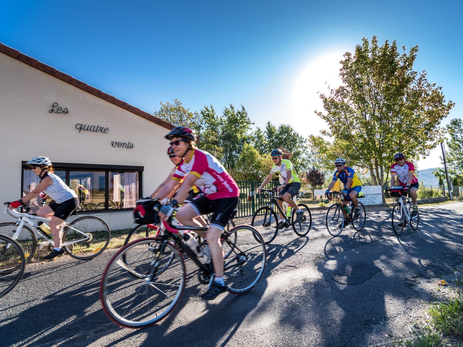 Cycling
 Cycling
Forez circuit - Les Hautes-Chaumes (loop no. 5)
Start: Centre nature des 4 vents (Aubusson d'Auvergne)
- 69.1 km
- +1503 m
- 4 h
 On foot