
The waterfall
Start: Eglise
Discover the Livradois-Forez territory on a walk set in a mid-mountain area...
- Distance
- 12.7 km
- Elevation gain
- +341 m
- Elevation loss
- -341 m
- Duration
- 3 h 30 min
Route on the map
Base map © OpenTopoMap (CC-BY-SA): route licensed under ODbL via Données : Parc Naturel Régional Livradois-Forez · rando.parc-livradois-forez.org — sous licence ODbL.
The route in detail
D. Start from the church and head for the D 999 to the north. At the bend, take a wide path and after 400 m turn off onto the path on the left. Cross the D 58 and take the forest track opposite to a small road. Follow it to the left as far as the D 999.
1. Follow the D 999 for 500 m; at a bend carry straight on along a broad path to the first house at Chatebout. Take a path on the left that goes down through the woods towards La Vigerie. Before the first buildings, take a wide way on the left leading to Le Sapt.
2. Go through Le Sapt, follow the tarmac road to the transformer and turn left. Climb to a house and fork left (view of the Chaîne des Puys). At the crossroads, take the path on the right (opposite, Pierre des Prades: 200 m there and back). After 400 m turn left. Follow the D 33 and turn left towards Faredonde.
3. At the house, at the fork, turn left then right into a dark lane. Continue along the path through the forest to a large clearing. Take a path on the left through the forest to the Faredonde stream; follow it along the left bank, then cross it on a well-defined path to an open valley.
4. At the waterfall, climb for 200 m without taking the forest track, bear right and go down along a second stream, then cross it. At a fork, take the path that descends gently to the left, leaving the path that climbs straight ahead, then climbs back up to Cistrières. On leaving Cistrières, go down to the left along a wide path towards St-Germain and return to the church by the Rue des Trois Têtes.
In pictures


Other hikes in the area
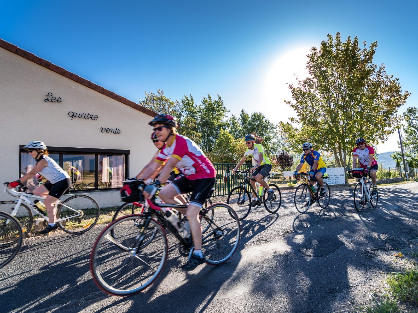 Cycling
Haut-Livradois and Abbeys tour (road circuit no. 20)
Start: Centre nature les 4 Vents
- 198 km
- +2680 m
- 10 h
 Cycling
7 - A breath of fresh air among firs and Douglas firs
Start: Plan d’eau de Champagnac-le-Vieux
- 12.2 km
- +240 m
- 1 h
 On foot