
Puy de Combegrasse and narse d'Espinasse
Start: Parking du Puy de Combegrasse
An easy loop of nearly 10 km in the heart of the Chaîne des Puys, at Aydat. Two volcanic cones, a peat bog set in an old explosion crater, and orientation tables that look out over the Puy de Dôme and the Monts Dore.
- Distance
- 9.8 km
- Elevation gain
- +214 m
- Elevation loss
- -214 m
- Duration
- 3 h
Route on the map
Base map © OpenTopoMap (CC-BY-SA): route licensed under ETALAB-2.0 via PNR des Volcans d'Auvergne.
The feel of the route
This corner is geology in the open air. The Puy de Combegrasse is a scoria cone about 40,000 years old. In the 1920s, when it was still covered only in short grass, it hosted one of the first gliding congresses in France. Today, it is the summer pastures that open the landscape up again.
The Narse d'Espinasse is worth the detour on its own. This maar formed about 11,000 years ago, when magma met the water of the Veyre: first a lake, then a peat bog. It shelters rare and protected species, such as Siberian ligularia, a relic of the Ice Age.
Our take: a perfect outing for a family or a quiet half-day, with no difficulty but rich at every turn. One practical point to remember: dogs are not allowed from 15 April to 1 October, to protect herds and wildlife.
The route in detail
The start is at the Puy de Combegrasse car park, in Aydat. You set off on a stony path, then a pozzolana (volcanic gravel) footpath that climbs gently towards the summit. Allow nearly 10 km, 214 m of total ascent and about 3 hours. It is rated easy, and it really is: the slope stays gentle and the yellow PR (local footpath) waymarking is clear from start to finish.
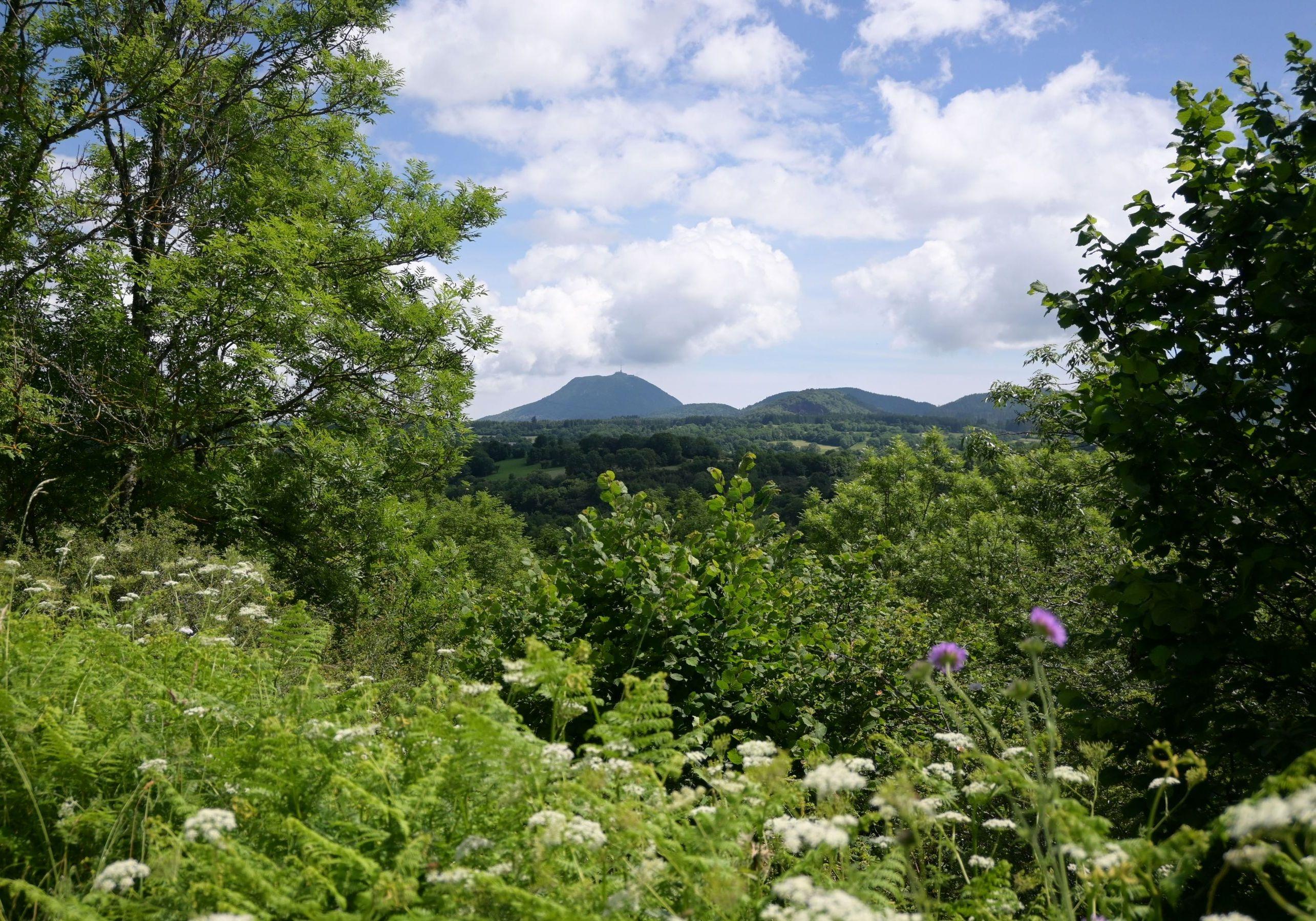
At the top of the Puy de Combegrasse, two orientation tables face each other along a short ridge path. On one side the Puy de Dôme, on the other the Chaîne des Puys stretching away, and in the distance the line of the Monts Dore. You then come back down through the pastures, going through gates and double-gate passages (sas) designed for livestock (close them behind you).
The next stretch crosses a pine wood, grassy paths and farmland plains. You skirt the edge of the Puy de l'Enfer wood, whose former pozzolana quarry reveals the red heart of the volcano. Then the path plunges towards the Narse d'Espinasse, a peat bog lying at the bottom of an old crater.
You climb back up towards the hamlet of Espinasse, go past a small cross, and watch out: you have to cross the D983, where cars drive fast. The last stretch heads off again between meadows and pozzolana paths, with the Chaîne des Puys as a backdrop, back to the car park.
In pictures


Other hikes in the area
 On foot
 On foot
 On foot
From Pont des Eaux to Mazayes (stage 2 of the Dômes loop)
Start: Pont des Eaux
- 10.6 km
- +160 m
- 3 h 30 min