
Les Chelles
Start: Les Chelles
- Distance
- 5.2 km
- Elevation gain
- +161 m
- Elevation loss
- -168 m
- Duration
- 1 h 30 min
Route on the map
Base map © OpenTopoMap (CC-BY-SA): route licensed under ODbL via Données : Parc Naturel Régional Livradois-Forez · rando.parc-livradois-forez.org — sous licence ODbL.
The feel of the route
Olliergues
Olliergues is a village tucked into an old meander of the Dore, and what you will remember is its 15th-century château overlooking the village. You will appreciate the Gothic-style 14th-century church of Notre Dame, with its slender wooden bell tower. Walk through the village to discover its medieval remains: the medieval bridge with its 3 uneven arches and, above all, rue du Pavé with its half-timbered house, its stair towers, its fountain, its cross, its carved coats of arms. Finally, take the time to visit the musée des Métiers et Traditions du Pays d'Olliergues (museum of trades and traditions) in the château, which presents a collection of tools and machines used over past centuries.
The route in detail
Start: From the village of Les Chelles and facing the campsite, go down and take the lane on the left, which becomes a track. It climbs back up for 400 m to the road (on the left, view of Pierre-sur-Haute and Peyre-Mayou).
1. Turn right and follow the road for 400 m to a crossing of tracks (on the left, there and back to the church of La Chabasse). Continue to the right on the track going down. At the fork, carry on to the right.
2. At the junction, turn off to the right onto the grassy track between the trees. It leads to La Goutte (on the left, view of Olmet and, further off, the Château de la Faye). Follow the road to the left, then leave it on the right in the bend for a track going gently down to a stream. Ignore the 2 tracks on the right and cross, on the left, the bridge over the Besset stream. The track climbs gently back up to a road.
3. Turn right and go through Legat, still keeping right. The road becomes a track as it crosses a hamlet.
4. At the junction with the road, turn off to the right, then to the right again 80 m further on to reach the hamlet of La Masseterie. Continue to the right along a track that goes down, then up through the woods.
5. At the crossing of tracks, turn right, then right again going downhill. Ignore the track going downhill straight ahead and go left to reach the hamlet of Les Chelles and the start.
In pictures

Other hikes in the area
 On foot
 On foot
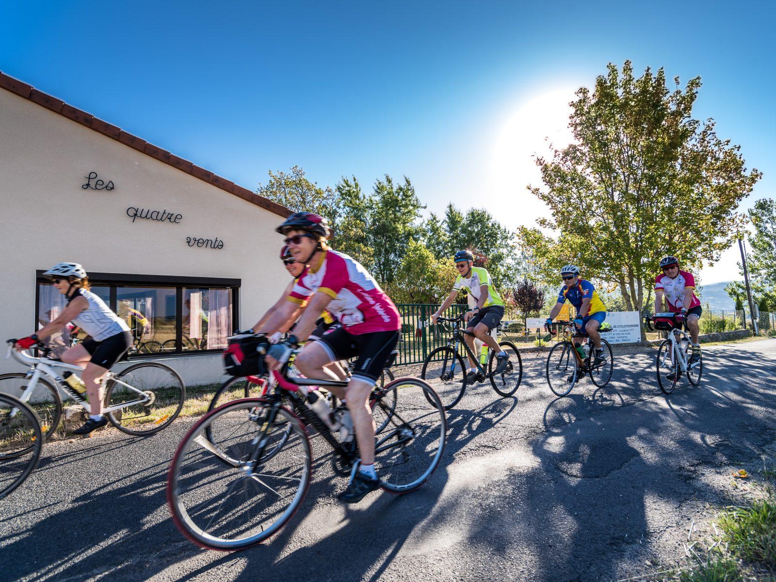 Cycling
The cols of the Crêtes du Forez (road circuit no. 31)
Start: Centre nature les 4 Vents
- 116 km
- +2529 m
- 8 h