
Tour of the Thiers Margerides (road circuit no. 19)
Start: Centre nature les 4 Vents
- Distance
- 61.6 km
- Elevation gain
- +993 m
- Elevation loss
- -993 m
- Duration
- 4 h
Route on the map
Base map © OpenTopoMap (CC-BY-SA): route licensed under ODbL via Données : Parc Naturel Régional Livradois-Forez · rando.parc-livradois-forez.org — sous licence ODbL.
The feel of the route
You can reach Thiers across the plain, following the Dore, and discover this town clinging to its rocky spur below the Margerides mountains. In any case, you will not see the whole town, because you only ever catch sight of a third of it... So why not start by climbing up to Ste-Agathe to then reach the viewpoint where the sculptures stand that already herald Thiers. The descent into the vallée des Usines then offers another view of Thiers. You can wander the little medieval lanes, but take care not to get lost, because you are very likely to come up against some odd slopes... Taking the road to Lyon, another landscape unfolds, that of the Margerides and the vallée des Rouets. Beautiful! On some mornings the mist lying in the valley bottom makes the view unique. Perhaps you will experience this moment of pure pleasure... A little later you have to climb back up to cross the Col du Frissonnet but do not be frightened. It is not the most fearsome in the area, far from it. The descent towards Vollore-Ville makes for an easy return.
Other hikes in the area
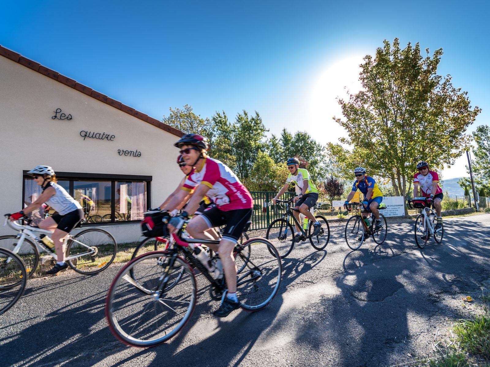 Cycling
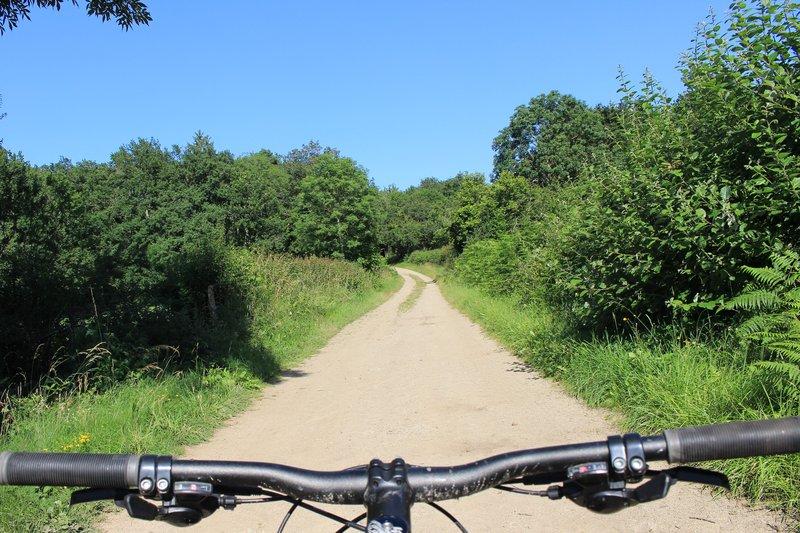 Mountain biking
Below the Grün de Chignore (circuit no. 13)
Start: Centre nature des 4 vents (Aubusson d'Auvergne)
- 22.3 km
- +543 m
- 2 h 30 min
 On foot