
On footVery easyBoucle
Ailloux forest
Start: Piste forestière
- Distance
- 2.3 km
- Elevation gain
- +47 m
- Elevation loss
- -44 m
- Duration
- 1 h
Route on the map
Base map © OpenTopoMap (CC-BY-SA): route licensed under ODbL via Données : Parc Naturel Régional Livradois-Forez · rando.parc-livradois-forez.org — sous licence ODbL.
The route in detail
At the entrance to the forest track, take the wide dirt track that goes into the woods. Cross the stream that passes under the track and carry on to the wood storage area.
(1) Keep following the road on the left.
(2) After the water bars, at the junction take a narrow path to the left through the trees. Go alongside a wet area and come back to the tarmac road.
(3) Follow it to the left to get back to the start.
In pictures

Other hikes in the area
 Cycling
Expert
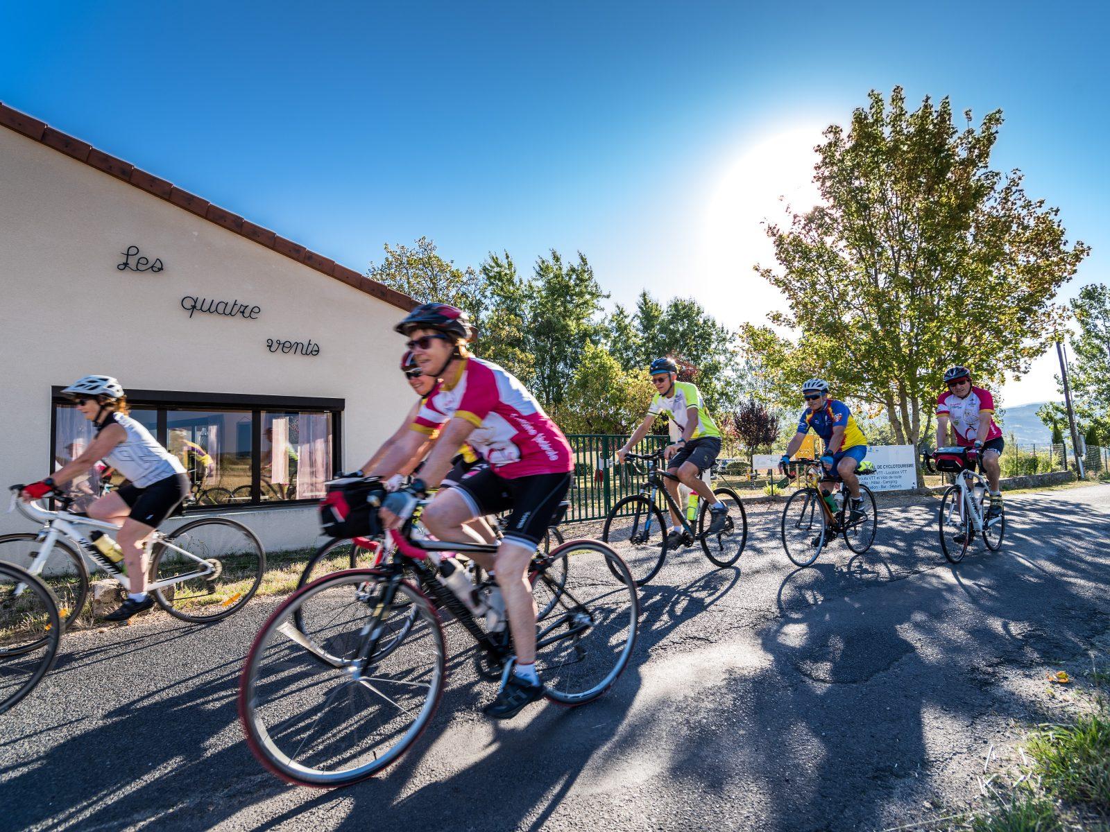
Trip through the Haut-Livradois (road circuit no. 5)
Start: Centre nature les 4 Vents
- 114 km
- +1912 m
- 7 h 30 min
 On foot
Moderate
On foot
Expert