The route
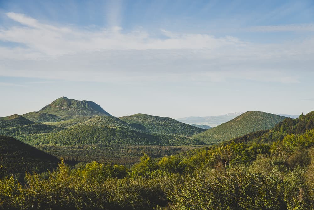
Start: take the steps right next to the start sign and climb the path (at the top, view of the Puys de Louchadière, Chopine, Dôme and Côme), which after 100 m drops back down to a wide track.
Follow the track to the left and carry on up a gentle slope, almost straight ahead, for 1.4 km to a four-way junction. Turn left (the CHUT! sculpture, “hush” in French) and stay on the main path, ignoring the side paths, as far as a pass.
Climb to the right on the path up the Puy de Jumes. At the crater rim, keep climbing to the left, then, after a level stretch (view of the Puy de Louchadière), go down to the left. Then climb the Puy de la Coquille (view of the Chaîne des Puys) and go back down into the forest to a T-junction.
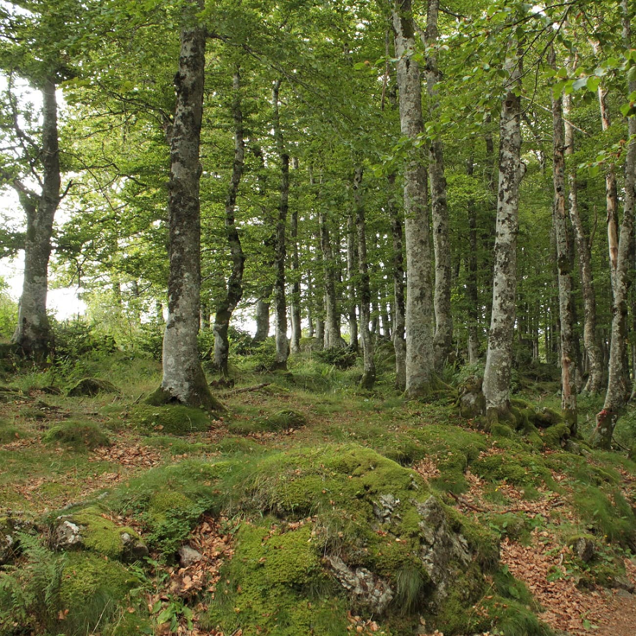
Go left for 30 m, climb the Puy de Leyronne and go back down to a T-junction. Climb to the left for 30 m, then take the track on the left. After a level stretch, go down for 700 m towards the foot of the Puy Chopine, ignoring the side paths, as far as the signpost for the Puy des Gouttes. Cross the stile on the right and climb straight ahead into the beech wood. The path bears left, then climbs to the right to reach a fence. Follow the fence to the summit (view of the Chaîne des Puys and the Massif du Sancy), then leave it to follow the rim of the volcano as far as a small wooden palisade. Turn right and go down to the left into the crater. Cross a stile and, further on, join a path running across. Go down to the left for 500 m, and take the first path on the right to a fork.
Head left to a fork. Take the track on the right and follow it for 2 km, ignoring the side paths, as far as Beauregard. Go down to the left. Go past the wash house and head right. Carry on along a path. At the junction (cross), turn right, then climb up the first path on the right. At the road, turn left to get back to the car park.
What it is like
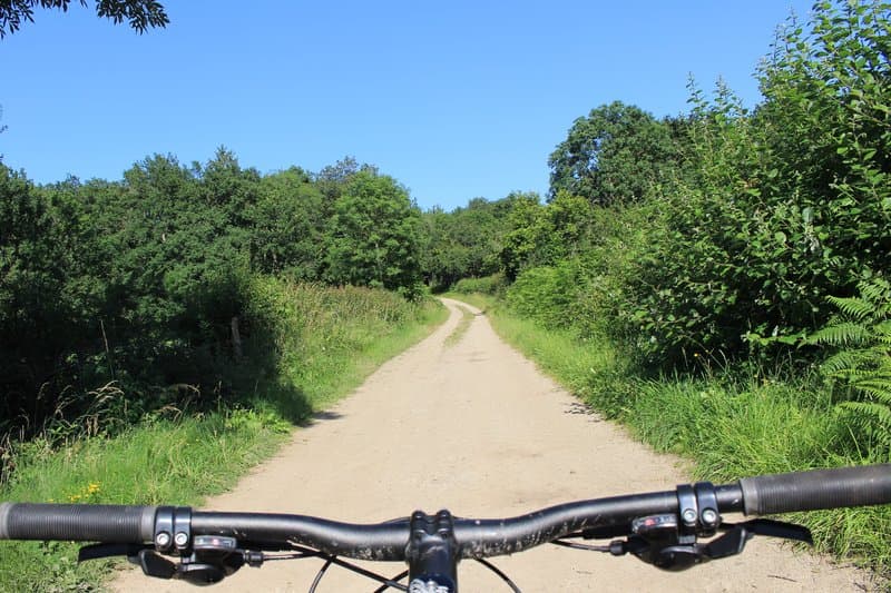
On this hike you will discover these two inseparable puys, Strombolian-type volcanoes, shaped by a fluid lava flow. The route takes you through woods and forests and gives you views of the Chaîne des Puys and its line of volcanoes. You will pass through Beauregard and see its small built heritage: its cross, its wash house, its fountain and its bread oven.
Getting to the start
On the D943 between Saint-Ours-les-Roches (23 km north-west of Clermont-Ferrand) and Volvic, 400 m east of the Vauriat level crossing, take the D576 (towards Beauregard) for 900 m to a car park, where you will find the start signs for several routes.
Parking
Car park on the D576 towards Beauregard
Public transport
The journey planner from OùRA gives you access to all the connections between regional trains, urban transport and département bus lines:
<a href="https://www.oura.com/">https://www.oura.com/</a>
Advice
- Keep dogs on a lead and away from livestock grazing in the pastures. - Thank you for helping to protect the places you walk through.