
Plateau de la Masse
Start: Parking à côté de l'église, au centre du bourg
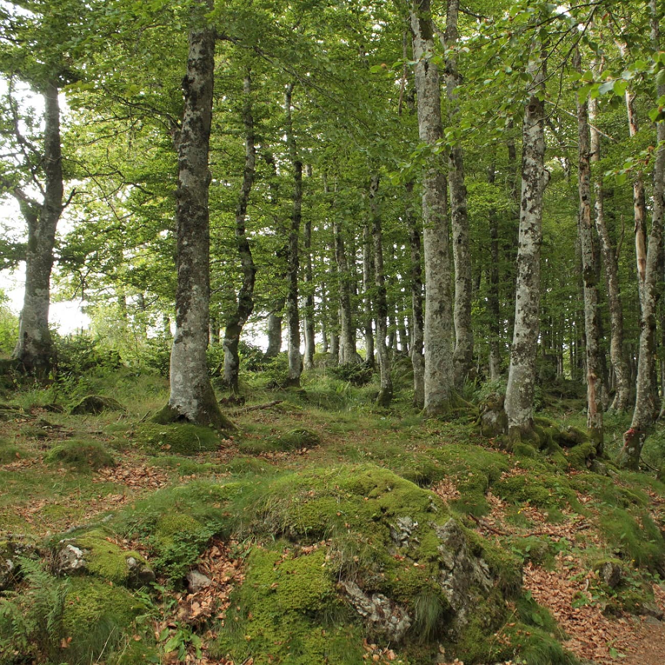
Located in the Chastreix-Sancy Nature Reserve, this loop on the Plateau de la Masse promises immersion in a preserved environment.
Far from the crowds, come and discover a mosaic of natural habitats between beech forests and peat bogs, while enjoying distinctive viewpoints over the southern slopes of the Sancy. An essential walk for lovers of authentic landscapes!
- Distance
- 11.3 km
- Elevation gain
- +265 m
- Elevation loss
- -265 m
- Duration
- 3 h
Route on the map
Base map © OpenTopoMap (CC-BY-SA): route licensed under ETALAB-2.0 via PNR des Volcans d'Auvergne.
The feel of the route
Discover a mosaic of natural habitats between forest and wetland. After two hours of walking, admire the panorama over the massif.
The route in detail
From the car park, turn left and walk past the reserve house as far as the cross.
Take the path behind the cross. Follow the yellow waymarking. Turn left onto the road.
Take the footpath on the right.
Turn right at the fork.
At the place called Chauvet, leave the road and take the footpath on the left.
Turn left at the place called Rimat.
Turn left, following the direction “Les Lades”.
On reaching the “Les Lades” crossroads, turn right.
Take the footpath on the left.
Carry straight on alongside the road.
At the crossroads, turn left, then continue along the road before getting back to the start of the route.
In pictures


Other hikes in the area
 On foot
From Chastreix village to the glacial valley
Start: Parking à côté de l'église, au centre du bourg
- 18.3 km
- +535 m
- 5 h 30 min
 On foot
 On foot