
29 - Pic du Lizieux loop
Start: Place de la mairie à Araules
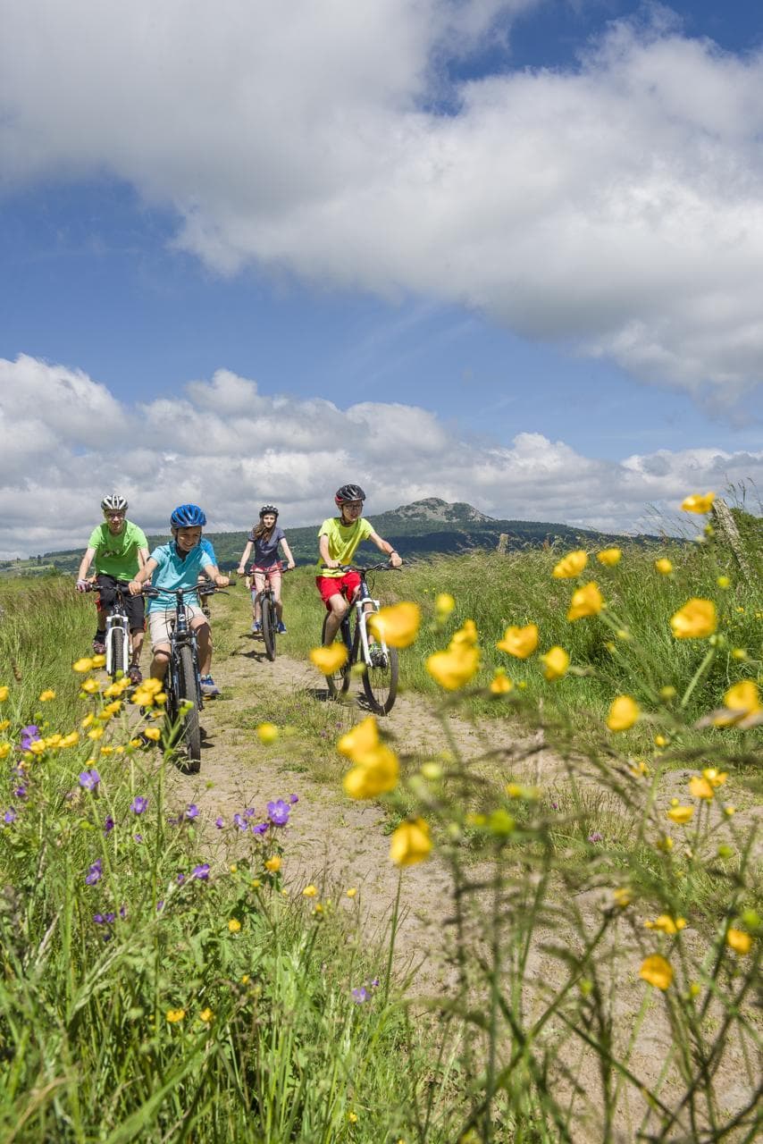
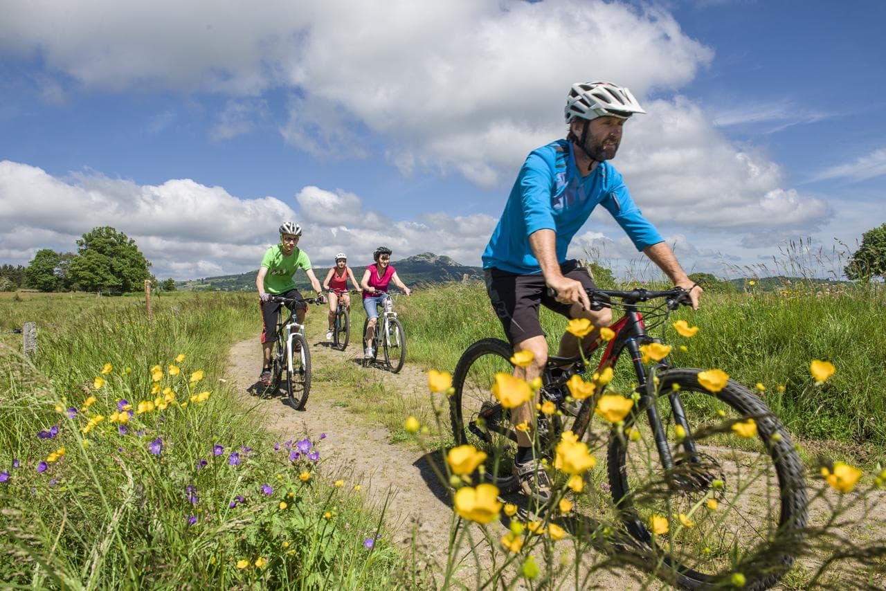
This circuit, to be done alone, with friends or with family, lets you discover the communes around the Lizieux massif. Set off from Araules towards St Jeures, continue to Le Mazet-St-Voy and return to Araules. These three upland communes are made up of various villages and hamlets, rich in the small rural heritage typical of Haute-Loire: bachas (stone troughs), bread ovens, crosses, little bridges, old buildings... Take the time to look around you and, why not, to climb on foot to the Pic du Lizieux!
- Distance
- 28.1 km
- Elevation gain
- +499 m
- Elevation loss
- -498 m
- Duration
- 2 h
Route on the map
Base map © OpenTopoMap (CC-BY-SA): route licensed under ETALAB-2.0 via Données : Comité Départemental Randonnée Pédestre Haute-Loire · FFRandonnée · sportsnature.hauteloire.fr — sous licence ETALAB 2.0.
The feel of the route
The Lizieux
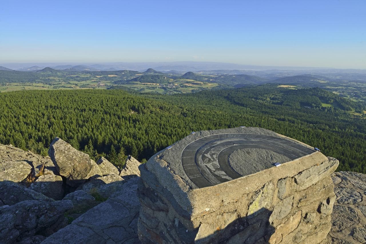
Its old summit (1,388 m), 12.7 million years old, was formed by a dome-flow of phonolite, a lava that spread on either side of the summit, visible today in the many boulder fields and scree slopes forming a broad plateau at its base. The pastures, left unmaintained after the rural exodus, gave way to a forest of conifers planted in the 1960s. A famous hiding place for the maquisards (Resistance fighters), it is now an unspoilt natural site. At the top of the Pic stands a viewpoint indicator and a fine panorama over all the sucs, the Meygal and the Mézenc!
In pictures

Other hikes in the area
 Mountain biking
 Mountain biking
 Mountain biking