
8 - Around the Cronce valley
Start: Office de tourisme de Lavoûte-Chilhac
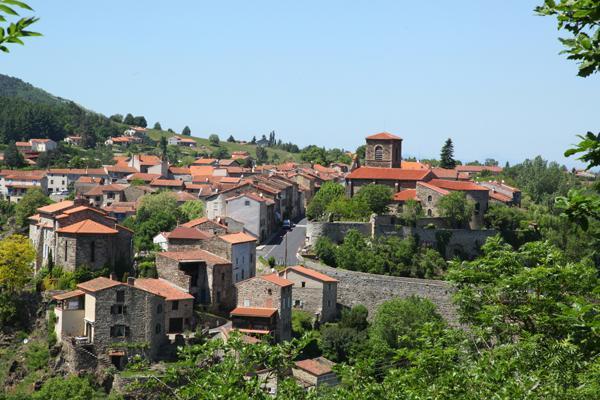
Starting from Lavoûte-Chilhac, travel through the north of the Margeride, along the valley of the Cronce, a tributary of the Allier. The Cronce takes its name from “creux” (hollow), and you will see with your own eyes how well the word suits this deep, wooded landscape. Along the way you will also discover the Ramade valley, the little village of Ferrussac and its church dating from the 12th and 13th centuries.
- Distance
- 51.7 km
- Elevation gain
- +1028 m
- Elevation loss
- -1029 m
- Duration
- 2 h 30 min
Route on the map
Base map © OpenTopoMap (CC-BY-SA): route licensed under ETALAB-2.0 via Données : Comité Départemental Randonnée Pédestre Haute-Loire · FFRandonnée · sportsnature.hauteloire.fr — sous licence ETALAB 2.0.
The feel of the route
You are in the commune of Pinols, only a few kilometres from one of the key sites of the Resistance: the maquis of Mont-Mouchet. The Quatre Routes crossroads invites us to look back at history, specifically 10 June 1944. In the morning, a German column accompanied by SS advances towards Mont-Mouchet. At the place called “les Quatre-Route”, they meet a group of young maquisards (Resistance fighters), known as the Corps franc des Truands, who engage in combat and manage to block the Germans. Twenty-two young people are killed. The next day, the fighting resumes. The German soldiers destroy everything in their path, at Le Crépoux and La Fond-du-Faux, before reaching the forester's house of Mont-Mouchet. A monument dedicated to this group of maquisards now marks this crossroads, which has become “le Carrefour des Truands”.
In pictures

Other hikes in the area
 Cycling
 Cycling
 Cycling
3 - Along the Allier and the Senouire
Start: Office de tourisme de Brioude Sud Auvergne
- 57.5 km
- +819 m
- 3 h