
Visade
Start: Egliseneuve d'Entraigues (centre)
At an altitude of 950 metres, the mountain village of Égliseneuve d’Entraigues lies at the junction of the Cézallier and Artense plateaux and at the head of the Rhue valley.
- Distance
- 11.6 km
- Elevation gain
- +281 m
- Elevation loss
- -281 m
- Duration
- 3 h 30 min
Route on the map
Base map © OpenTopoMap (CC-BY-SA): route licensed under ETALAB-2.0 via PNR des Volcans d'Auvergne.
The feel of the route
This lovely route takes you into the heart of the area's typical landscapes, between high-altitude grasslands, summer mountain pastures and beech woods. After the Égliseneuve waterfall, 18 m high, a splendid view of the Monts du Cantal and then the Monts Dore will delight lovers of wide open spaces.
The route in detail
Start: from the start sign, turn right after La Poste (the post office), cross the street to pass in front of the tourist office and take the rue du Riou Cros until you leave the village by a small road, then a path. Climb for about 500 m to a T-junction.
Turn right to reach the D30. Follow the road to the right for 100 m.
Turn left onto a small road towards Aulnay. At Aulnay, keep straight on to a fork.
Take a grassy path on the left. At the next fork, take the fine sunken lane on the right to a pasture (gate). Turn left, then follow a track across the middle of the meadow (view of the Artense plateau and the Massif du Sancy). On leaving the pasture, take a small road on the left to the RD 128.
Cross the departmental road. Take the path opposite towards La Chaud. After crossing a stream (footbridge), continue to a tarmac road. Take it to the right to go through Dressondeix. Cross a junction and continue straight ahead, towards Contains. Keep straight on, then leave the road to take the second path on the right to a fork. Take the right-hand path, cross the Clamousse (footbridge) and climb to the RD 978. Cross the road and climb straight ahead on a small tarmac road to a farm at the top of the hill.
Shortly after the farm, enter a meadow on the right. Cross a ladder stile and follow a track to the right across the meadow towards a lone tree and a second ladder stile. Follow the track across the pasture along the edge of a steep gorge (Grosleix stream) to a third ladder stile. Climb towards a fourth ladder stile level with a buron (old stone hut). Bear slightly left across the meadow towards a fifth ladder stile. Follow a wide stony track to a small tarmac road at Bost de Village.
Take the road on the left; after 150 m ignore a road on the left, and carry on along the road that bends right to the departmental road.
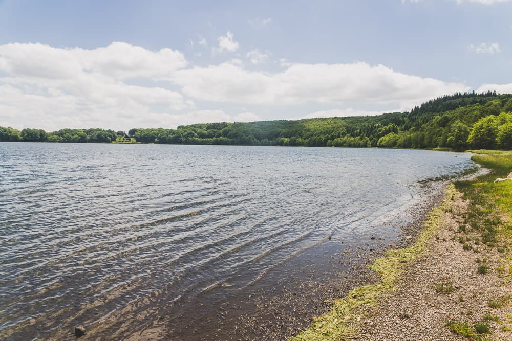
Cross the departmental road opposite the lake, then follow it to the left for 100 m. Turn right to go round the lake. At the end of the lake, go down a few steps on the left, cross the road leading to the campsite and take the path opposite, leading towards the Entraigues waterfall. Cross the stream by a footbridge, then rejoin the D978 (iron cross on a stone base). Take the road on the left to return to Égliseneuve d’Entraigues and the starting point.
In pictures


Other hikes in the area
 On foot
 On foot
From Montgreleix to Egliseneuve (stage 8 of the Tour des Vaches Rouges)
Start: Parking place de l’église à Montgreleix
- 12.3 km
- +252 m
- 3 h 30 min
 On foot
From Egliseneuve to Brion (stage 1 of the Tour des Vaches Rouges)
Start: Parking de la maison des fromages AOP
- 15.8 km
- +608 m
- 5 h 15 min