The route
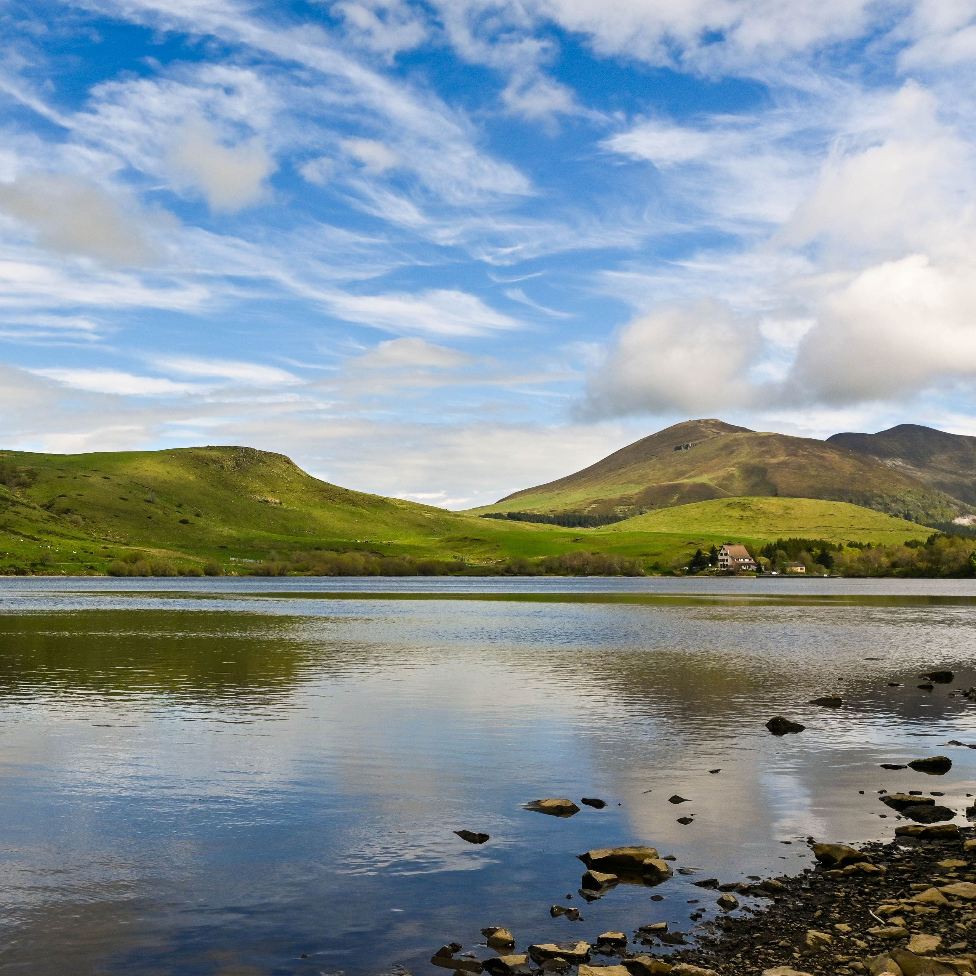
You start at the Col de Guéry, near the Centre Montagnard Cap Guéry, at a little over 1,240 m. First you head down to the lake, the highest in Auvergne, put there by a lava flow that dammed the Mortes stream. A pontoon, a detour into the forest, and you are walking along the shore.
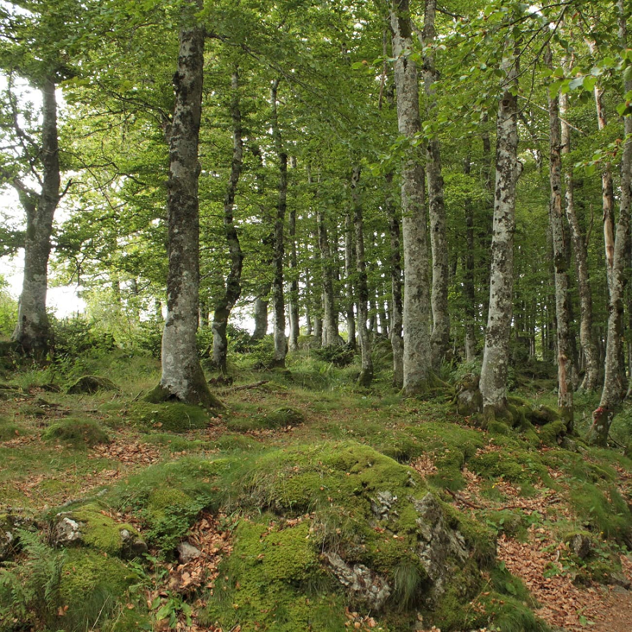
The beech wood takes you up to a viewpoint over the waterfall and its basalt organ pipes, a dozen metres of water falling among the basalt columns. Higher up, wooden boardwalks cross a pasture, with the Col de la Croix-Morand in your sights.
Then comes summer pasture country. You cross cattle grids and reach the Borne des Quatre Seigneurs, which once marked the boundary between four lordships. Two options: go round the Puy Loup, or climb it, following the red waymarks for the ascent before picking up the green ones again.
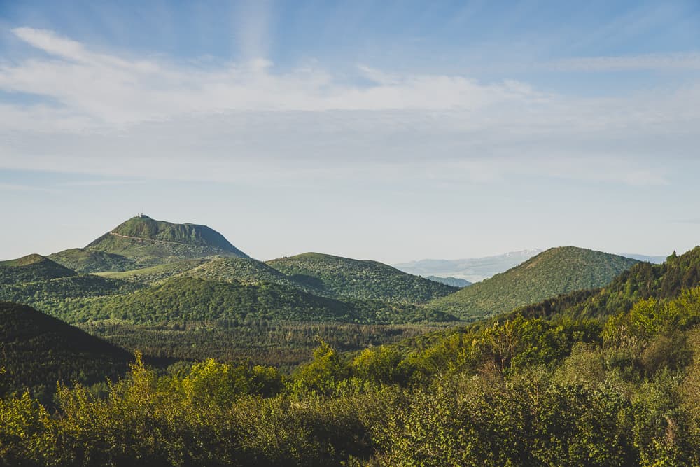
The ridge line carries you to the Col de Saint-Laurent, with the Banne d'Ordanche on your right, then on to the showpiece of the route: the summit of the Puy Gros, at nearly 1,480 m. From there, the view sweeps across the Massif du Sancy and its neighbours, Murat-le-Quaire, La Bourboule and Le Mont-Dore.
The descent heads north-east on a narrow path that is faint at first, then a fairly technical stretch along the edge of the woods, with roots sticking out of the ground. You get back to the lake, climb one last bend above the water, and the loop closes at the start. Allow about 4 h 30 and 530 m of elevation gain over a little more than 13 km.
What it is like
What we love here is how far apart the moods are. You set off by the water, in the cool of the beech wood with the sound of the waterfall, and you finish on bare ridges where the wind no longer meets anything. In between, the summer pastures: short grass, cows, fences to step over and a horizon that pulls back with every rise.
This area tells two stories. The volcano's, with its basalt columns and rounded summits, and the shepherds', on these high plateaus grazed for a very long time. On the way, look out for yellow gentian, the tall flowering plant whose root goes into Avèze, the local bitter liqueur.
Our take: a proper mid-mountain outing, best kept for fine days. In winter, the area turns into a Nordic ski area and the path closes. Bring good shoes for the rooty descent, and something warm to put on for the ridge, even when it is mild down below.
Getting to the start
- From Clermont-Ferrand, head for Le Mont-Dore via the D2089 as far as Randanne, then the D983. - From Montlosier, head for Randanne, then follow signs for Le Mont-Dore on the D983. - From Orcival, take the D27 towards Le Mont-Dore. - From Le Mont-Dore, head for Clermont-Ferrand on the D983.
Parking
Col de Guéry car park
Public transport
The OùRA journey planner gives you access to all the connections between regional trains, urban transport and département bus lines:
<a href="https://www.oura.com/">https://www.oura.com/ </a>
Advice
- Walking this route is not allowed while the Nordic ski area is open. - Keep dogs on a lead. - Please stay on the waymarked paths. - Thank you for helping to protect the places you walk through.