
10 - Towards the Suc du Mounier
Start: Saint-Jeures
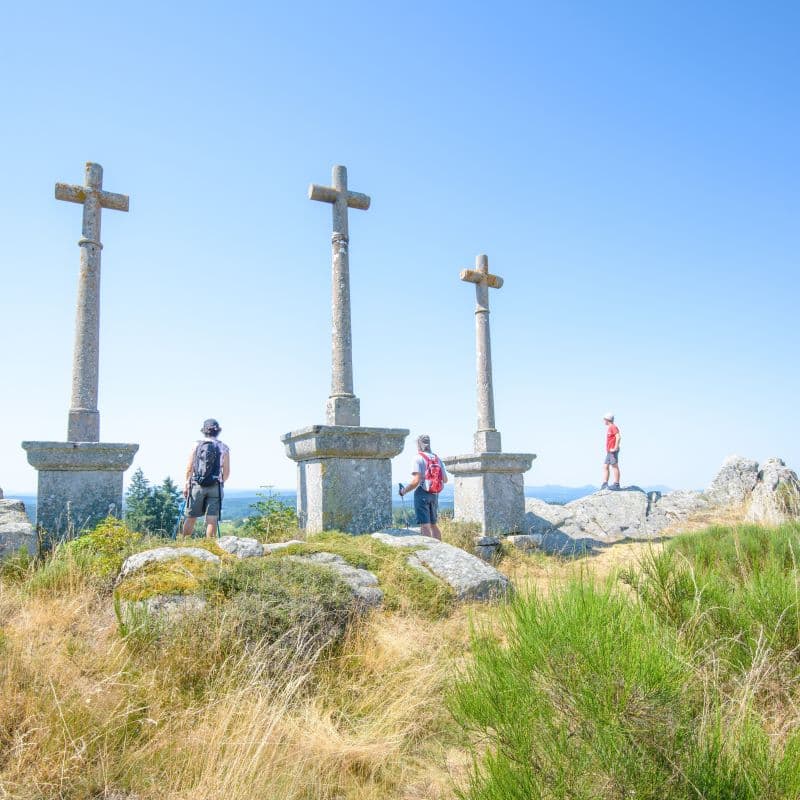
On the edge of the land of the sucs (volcanic peaks), you will discover a mountain landscape crossed by pilgrimage routes: the Way of St James (from Geneva to Le Puy-en-Velay) and the Way of Saint-Régis. The first is used by Swiss and German pilgrims who dream of reaching Santiago. The second was created in 1989 in honour of Jean-François Régis, apostle of the Velay and the Vivarais, an incredible walker who could cover 40 to 60 kilometres to go and preach in villages shaken by the wars of religion. Along the way, you can admire fortified houses (maisons fortes), the Suc du Mounier (1,209 m), the Couvet cross and the Vacheresse dolmen.
- Distance
- 22.6 km
- Elevation gain
- +498 m
- Elevation loss
- -499 m
- Duration
- 1 h 40 min
Route on the map
Base map © OpenTopoMap (CC-BY-SA): route licensed under ETALAB-2.0 via Données : Comité Départemental Randonnée Pédestre Haute-Loire · FFRandonnée · sportsnature.hauteloire.fr — sous licence ETALAB 2.0.
The feel of the route
Salcrupt, a typical fortified house of the Velay: Through the gate, you can admire the plain harmony of its lines and the sturdiness of its walls: no ornament, but well-judged proportions.
This granite fortified house, dating from the 15th and 16th centuries, has a rectangular plan made up of two adjoining buildings, served and defended by a stair tower in the middle of the façade. Only the triangular pediment over the entrance door adds a touch of fancy to the simplicity of the building. A perimeter wall encloses an inner courtyard on the south side, while an additional boundary wall forms a second enclosure along the road.
The route in detail
This circuit is made difficult by its succession of climbs and descents and a few sections where you push your bike. The first 9 km are fairly tough and mostly uphill; then, once out of the Lizieux woods, the descents follow one another more easily until the last short, steep climb back to the start.
Other hikes in the area
 Other activity
 Cycling
 Mountain biking