
Via Allier (V70) from Vichy to Langeac
Start: Vichy
455 km along the Allier river, from its confluence with the Loire near Nevers to Langogne in Lozère, close to its source. The Auvergne cycle route starts near the famous Bec d’Allier, where the Allier meets the Loire and the Via Allier meets the well-known Loire à Vélo. The Via Allier follows the river upstream, heads south and gathers countless treasures all the way up the Gorges de l’Allier, very close to its source, tucked into the Cévennes mountains.
- Distance
- 186 km
- Elevation gain
- +1656 m
- Elevation loss
- -1407 m
- Duration
- 192 h
Route on the map
Base map © OpenTopoMap (CC-BY-SA): route licensed under ODbL via Données : Parc Naturel Régional Livradois-Forez · rando.parc-livradois-forez.org — sous licence ODbL.
The route in detail
Adapt your stages to your profile
30 to 40 km a day for a family with children.
50 to 60 km for a cycling/sightseeing trip (up to 70 km with an e-bike, an electrically assisted bike).
60 to 80 km for regular cyclists.
80 to 100 km for sporty cyclists, or even more!
Other hikes in the area
 On foot
 Cycling
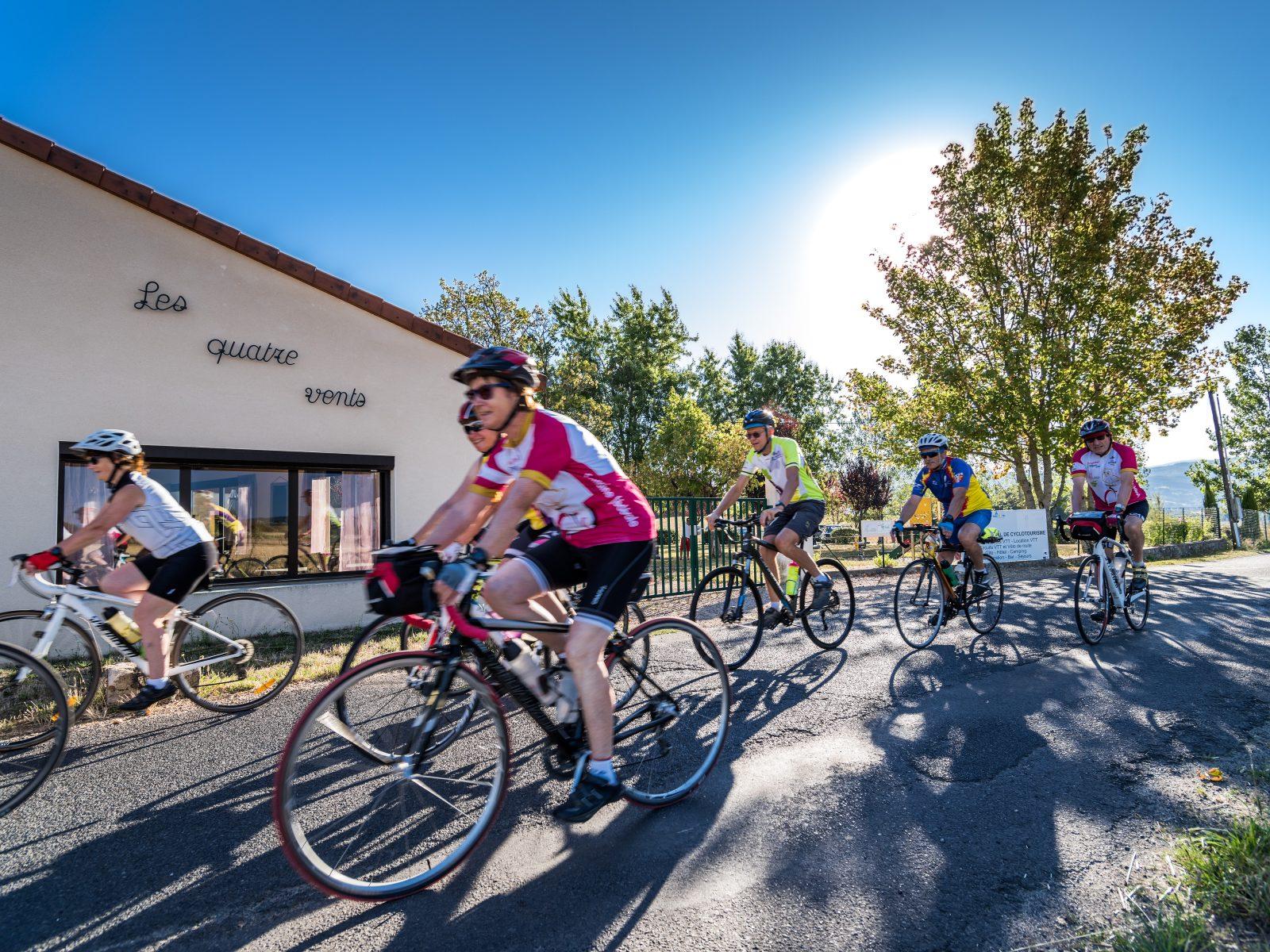
Between the Comté and the Pays d'Issoire (road circuit no. 17)
Start: Centre nature les 4 Vents
- 126 km
- +1764 m
- 8 h
 On foot