
12- With the family in the village of thatched cottages
Start: Moudeyres
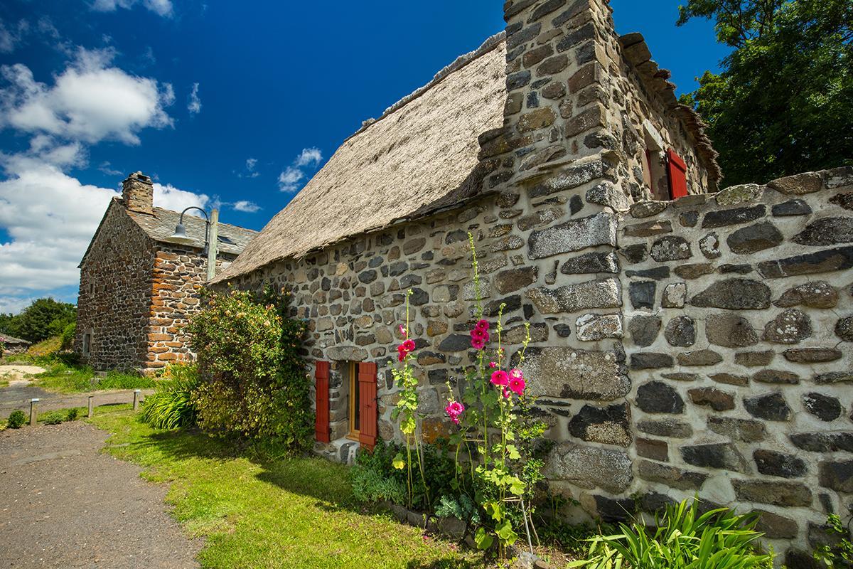
Standing at 1,175 metres above sea level, the small village of Moudeyres has kept its traditional thatched cottages, typical of the Mézenc region. This route, without any great difficulty, will be a chance to discover the riches of our area.
- Distance
- 2.2 km
- Elevation gain
- +42 m
- Elevation loss
- -42 m
- Duration
- 20 min
Route on the map
Base map © OpenTopoMap (CC-BY-SA): route licensed under ETALAB-2.0 via Données : Comité Départemental Randonnée Pédestre Haute-Loire · FFRandonnée · sportsnature.hauteloire.fr — sous licence ETALAB 2.0.
The feel of the route
The plateau house: Surrounded by a low wall to protect it from the snow and from the “burle”, that violent wind laden with ice, the plateau house looks like an austere fortress, with stone from the foundations to the roof (except for the thatched cottages of Bigorre and Moudeyres). Its shapes are squat (2-metre walls), its openings small and facing south. A vaulted porch, the “arcasse”, serves as a shared entrance for people and animals; a wooden partition separates the cowshed from the living area, the “carré”. The house is often reduced to a single room containing box beds, a cupboard, a clock, a long table and two benches, not forgetting the fireplace, the “cantou”. An inside staircase leads to the hayloft, which takes up the whole upper floor because of the large quantity of fodder needed by the livestock, which stays seven to eight months in the cowshed.
In pictures

Other hikes in the area
 Cycling
 Mountain biking
 Mountain biking