
Le Brugeron loop
Start: Le Brugeron
- Distance
- 7.4 km
- Elevation gain
- +335 m
- Elevation loss
- -336 m
- Duration
- 2 h 30 min
Route on the map
Base map © OpenTopoMap (CC-BY-SA): route licensed under ODbL via Données : Parc Naturel Régional Livradois-Forez · rando.parc-livradois-forez.org — sous licence ODbL.
The feel of the route
The coat of arms of Le Brugeron
Created in 1966, the coat of arms of Le Brugeron brings together 3 essential elements of the commune: 2 clogs, a nod to the rural character of the commune and also to its large number of clog makers, a fir tree symbolising an essential element of the landscape, and a heather plant for the name Le Brugeron, which etymologically means heather.
The sawmills
The first sawmills, or “plank-sawing mills”, enjoyed a great boom on the slopes of the Forez from the Middle Ages to the middle of the 19th century. These sawmills were set up on a millrace (a diversion of a stream), like the mills. Some were tiny installations, and there were as many as 28 sawmills in the commune of Le Brugeron in 1814.
The route in detail
Start: With your back to the church, go down to the left, then to the right past the town hall. At the next junction, turn off to the left towards the Col du Béal. At the start of the bend, leave the main road by taking an uphill road on the right. Go past the water tower before reaching the road again. Follow it to the right through the hamlet of L'Arbre. In the bend, leave it on the left by a stony track that climbs to the hamlet of Les Échelettes.
1. Follow the road to the left, then turn right immediately onto an uphill road that becomes a track. At the crossing of tracks, turn right and go down through the woods to Le Fonteilhet (on the right, view of Le Brugeron). Ignore the uphill road on the left and follow the road a little lower down to the left for a few metres, before cutting the bend on the right by a path that emerges. Cross the road again towards Les Farges.
2. Shortly before the hamlet, leave the road on the right by a track going down through the woods. It joins a road a little lower down.
3. Cross (take care) and then go down to the left to Bourchany. Go through the hamlet on the right and follow a path going down on the right to the Gérize stream (take care, the path is often wet). Cross by the footbridge before climbing through the beech wood.
4. At the junction, continue to the right, passing a first house (on the right, view of Le Brugeron). Carry on and go through the hamlet of Fradas on the left (you can cut across to the right to get back to the start by the Tour de Pays en Livradois-Forez) as far as the road, which you follow to the right for 130 m.
5. Leave the road for a forest track on the right. It goes down to the Gérize stream, which you cross again by a stone slab bridge. The track climbs back up to La Londiche before continuing to the right as far as a road.
6. Follow the road to the right for a few metres before going down to the left towards the moulin du Bègue (Bègue mill).
7. Before the bridge (to the left, there and back to the moulin du Bègue and its waterfall), climb to the right by the track that reaches a sewage treatment plant and then a junction.
8. Bear right to the crossroads, then take the first road on the left to Le Brugeron. In the village centre, carry straight on up the rising street to return to the start.
In pictures

Other hikes in the area
 Cycling
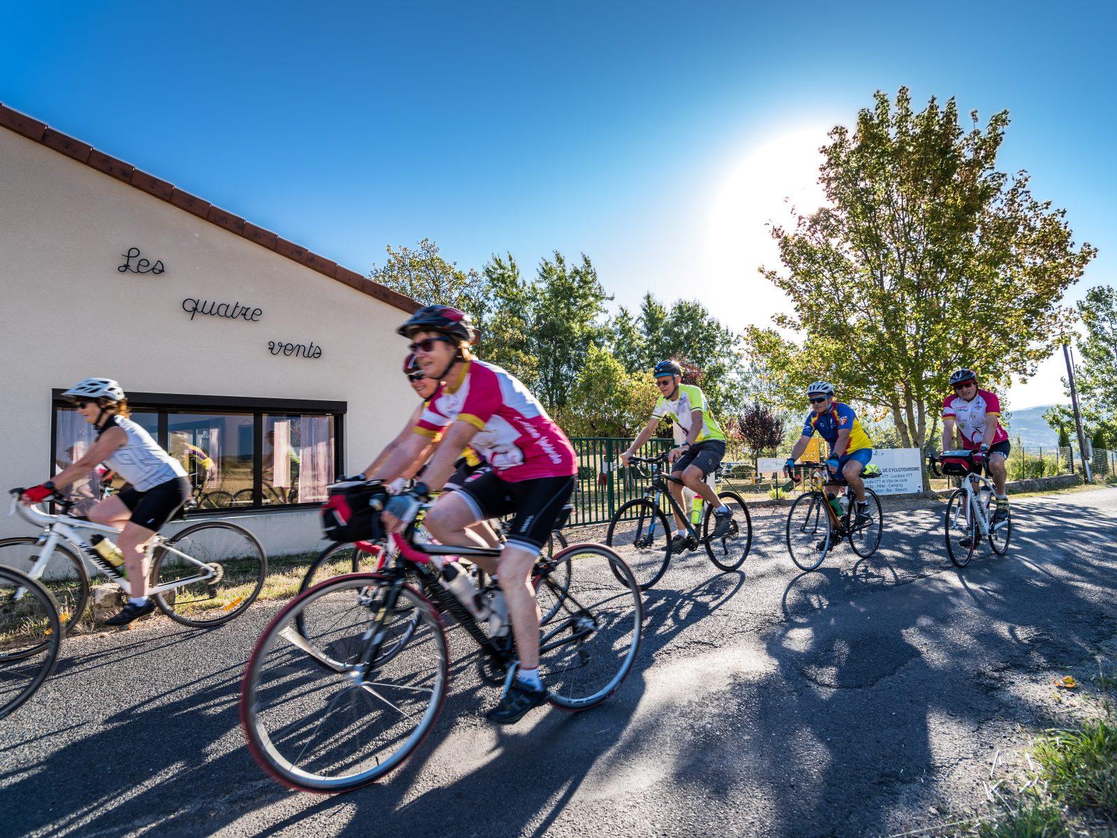
From the Col de la Loge to the Col du Béal (road circuit no. 6)
Start: Centre nature les 4 Vents
- 81.3 km
- +1692 m
- 5 h 30 min
 On foot
 Cycling