
Pied du Fraisse (foot of the Fraisse)
Start: Place de l’église de Lanobre
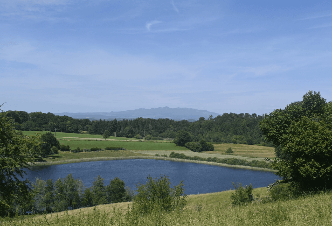
An old volcano planed down by glaciers, the puy du Fraisse is one of the few volcanic remnants found in the Artense. Rising to 808 metres above sea level, it offers a 360° view over the Monts du Cantal, the Sancy massif and as far as the Chaîne des Puys. This volcanic discovery in the Artense, although little known, is well worth the detour!
- Distance
- 11.6 km
- Elevation gain
- +280 m
- Elevation loss
- -280 m
- Duration
- 4 h
Route on the map
Base map © OpenTopoMap (CC-BY-SA): route licensed under ETALAB-2.0 via PNR des Volcans d'Auvergne.
The feel of the route
You begin this route by passing the church of Lanobre, one of the great Romanesque sanctuaries of the Cantal. Then leave the village to follow a peaceful path. Sheltered by the forest cover, take the time to watch its discreet inhabitants. The route takes you to the top of the Fraisse, the highest point of the village of Lanobre, to enjoy a 360° view, from the Sancy uplands to the Monts du Cantal.
The route in detail
Start: Cross the church square. In front of the town hall, turn right towards Champs. Continue to the media library.
Climb to the left along rue des Coustilles, which overlooks the media library.
At the junction, turn left and continue for 200 m towards Farreyrolles.
Turn left and continue to the forest track, for 2 km.
Climb to the right.
Turn left towards the village of Le Fraisse, then straight on, following the signs “Le Puy du Fraisse”. Then take the path on the right after the last houses and follow it to the water tower.
Reach the site, then take the dirt track, turn left to join the road, then take the footpath on the right.
Join the road before the village of Le Lac and turn right towards the houses.
At the oven, turn right between the houses, then after 50 m take the first path on the right and the first footpath on the left.
Go left.
Go to the right of the house, then after 200 m take the first footpath on the left between low walls to the departmental road, then follow it.
Leave the road to take the path on the left before the last house.
Head off to the left.
Turn right and continue for 1.3 km to find the starting path on the left.
In pictures


Other hikes in the area
 On foot
 On foot
 On foot