
14 - On the flanks of the Devés
Start: Parking de l'étang (Le Vernet)
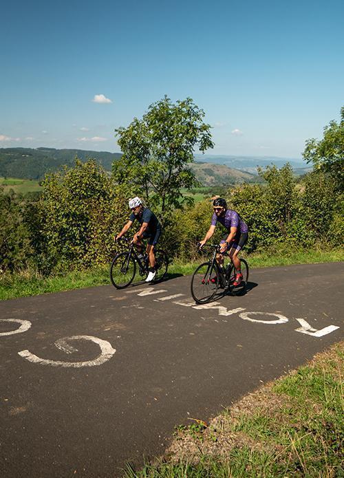
This is the ideal route for families, with a very smooth, fast-rolling track on the foothills of the Durande, a summit of volcanic origin rising to 1,300 metres above sea level. On the programme: the village of Saint-Jean de Nay, Cereix, then on through Le Thiolent and Le Vernet.
- Distance
- 15.6 km
- Elevation gain
- +313 m
- Elevation loss
- -312 m
- Duration
- 1 h 30 min
Route on the map
Base map © OpenTopoMap (CC-BY-SA): route licensed under ETALAB-2.0 via Données : Comité Départemental Randonnée Pédestre Haute-Loire · FFRandonnée · sportsnature.hauteloire.fr — sous licence ETALAB 2.0.
The feel of the route
The Durande overlooks the Velay plateau Le Vernet
It is known here as the summit of the Durande. From the top of its 1,299 m, it overlooks the Velay plateau, offering a 360° panoramic view of the surrounding natural landscapes. Under its watchful gaze, the vast lentil fields and the big green meadows of the Velay unfold!
At Le Vernet, with the help of the viewpoint indicator, you will travel from the gorges of the Loire to those of the Allier, passing by Mont Mézenc. In clear weather, sharp eyes can even make out the summit of Mont Blanc, shyly poking its nose through a gap between two mountains. At Le Vernet, an orienteering course for the whole family, as well as treasure hunts and fitness trails, await you!
Other hikes in the area
 Cycling
 Cycling